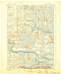
1902 Map of Briggsville
USGS Topo · Published 1931About this map
The Wisconsin River cuts a wide path through this central Wisconsin landscape at the turn of the century, serving as a defining boundary for several townships including Newport, Lewiston, and Caledonia. The geography is defined by its transition from the flat Dell Prairie in the west to a more complex network of wetlands and kettle lakes in the east. Along the southern banks, the Baraboo River meanders through marshland before its confluence with the Wisconsin, while a prominent levee structures the northern shore near the Chicago Milwaukee and St. Paul railroad line.
Find a feature on this map
28 named features on this map. Tap any name to fly to it.
Don’t see what you’re looking for? This feature index may not catch every label — zoom into the map to look around manually.
Map Details
Editions of this 1902 Briggsville Map
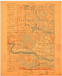
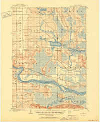
4 editions found
Other maps of this area

1895 · Baraboo
USGS Topo · 1:62,500

1901 · Denzer
USGS Topo · 1:62,500

1901 · Poynette
USGS Topo · 1:62,500

1901 · The Dells
USGS Topo · 1:62,500

1902 · Portage
USGS Topo · 1:62,500

1902 · Briggsville
USGS Topo · 1:62,500

1908 · Baraboo
USGS Topo · 1:62,500

1957 · Wisconsin Dells
USGS Topo · 1:62,500

1957 · Madison
USGS Topo · 1:250,000

1958 · Briggsville
USGS Topo · 1:62,500