
Loading...
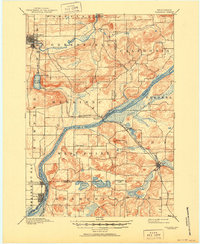
Loading map...1908 Map of Baraboo
USGS Topo · Published 1908About this map
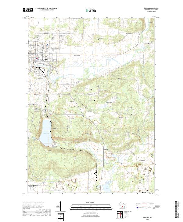
The Wisconsin River carves a sweeping path through this 1890s-surveyed landscape, defining the boundaries of Merrimac and West Point. The city of Baraboo serves as a northern anchor, where the Baraboo River meanders toward the Baraboo Narrows. To the south, the topography is dominated by the dramatic elevation of Gibraltar Rock and the enclosed basin of Devils Lake, which is already established as a destination along the Chicago and North Western Ry.
Find a feature on this map
38 named features on this map. Tap any name to fly to it.
Don’t see what you’re looking for? This feature index may not catch every label — zoom into the map to look around manually.
Map Details
Date Portrayed1908
Date Published1908
PublisherU.S. Geological Survey
Map TypeTopographic
Scale1:62,500
Physical Dimensions16.83 x 20.36 inches
Editions of this 1908 Baraboo Map
This is the sole edition of this map. No revisions or reprints were ever made.
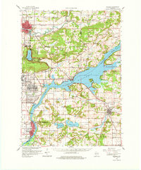
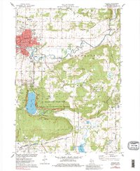
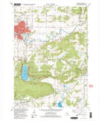
Historical Maps of Baraboo Through Time
6 maps found
Featured Locations
Source Details
SourceU.S. Geological Survey
CopyrightPublic Domain