
1906 Map of Madison
USGS Topo · Published 1906About this map
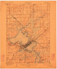
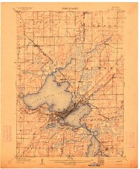
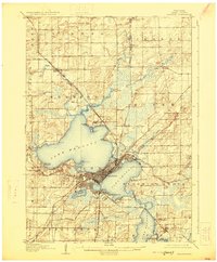
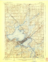
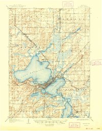
The Ismus between Lake Mendota and Lake Monona is the dense urban core of Madison in this 1904 survey, showing the state capital just as the motor age began. The University of Wisconsin campus occupies the southern shore of Lake Mendota, while landmarks like the State Hospital for the Insane and the Fair Grounds anchor the outskirts. Submerged contours printed in blue provide a rare view of the bathymetry of the Four Lakes, including Lake Waubesa and the smaller Lake Wingra.
Find a feature on this map
58 named features on this map. Tap any name to fly to it.
Don’t see what you’re looking for? This feature index may not catch every label — zoom into the map to look around manually.
Map Details
Editions of this 1906 Madison Map
6 editions found
Other maps of this area

1889 · Evansville
USGS Topo · 1:62,500

1890 · Madison
USGS Topo · 1:62,500

1890 · Sun Prairie
USGS Topo · 1:62,500

1890 · Stoughton
USGS Topo · 1:62,500

1892 · Madison
USGS Topo · 1:62,500

1894 · Evansville
USGS Topo · 1:62,500

1895 · Baraboo
USGS Topo · 1:62,500

1896 · Sun Prairie
USGS Topo · 1:62,500

1901 · Poynette
USGS Topo · 1:62,500

1904 · Madison
USGS Topo · 1:62,500