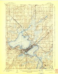
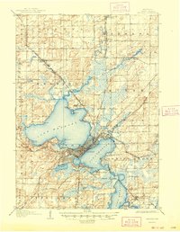
1906 Map of Madison
USGS Topo · Published 1938About this map
Madison and its surrounding isthmus settlements appear at the opening of the twentieth century, anchored by the expansive waters of Lake Mendota, Lake Monona, and Lake Waubesa. This 1904 survey by Robert Muldrow captures the capital city's early footprint, centered on the University of Wisconsin and radiating out toward nascent lakefront communities like Elmside and Mendota Beach. The landscape is heavily influenced by the rail networks of the Chicago and Northwestern Ry and the Chicago Milwaukee and St Paul RR, which connected the central urban core to outlying agricultural hubs and small stations such as Syene and Darwin. To the north, the State Hospital for the Insane occupies a prominent position on the shore near Farwells Point, while the southern reaches feature the State Fish Hatchery and the Monona Assembly grounds, reflecting the region's early mix of institutional presence and seasonal recreation.
Find a feature on this map
54 named features on this map. Tap any name to fly to it.
Don’t see what you’re looking for? This feature index may not catch every label — zoom into the map to look around manually.
Map Details
Editions of this 1906 Madison Map
6 editions found

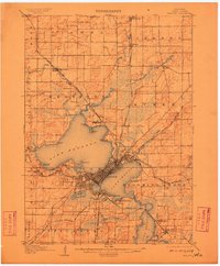
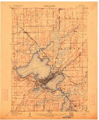
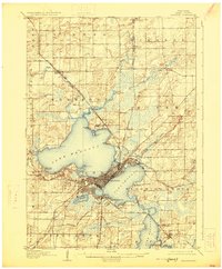
Other maps of this area

1889 · Evansville
USGS Topo · 1:62,500

1890 · Madison
USGS Topo · 1:62,500

1890 · Sun Prairie
USGS Topo · 1:62,500

1890 · Stoughton
USGS Topo · 1:62,500

1892 · Madison
USGS Topo · 1:62,500

1894 · Evansville
USGS Topo · 1:62,500

1895 · Baraboo
USGS Topo · 1:62,500

1896 · Sun Prairie
USGS Topo · 1:62,500

1901 · Poynette
USGS Topo · 1:62,500

1904 · Madison
USGS Topo · 1:62,500