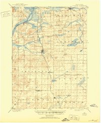
1901 Map of Poynette
USGS Topo · Published 1950About this map
The Wisconsin River cuts through the northwest corner of this turn-of-the-century landscape, framing the old settlement of Dekorra near the riverbanks. The region is defined by a dense network of early rail lines, including the Madison and Portage Line and the C. M. and St. P. RR, which spurred the growth of local hubs like Poynette and Morrisonville. In the agricultural heartland of southern Columbia County, smaller hamlets such as Leeds, Leeds Center, and Keyeser appear as vital social and economic centers for rural families. Wetland features like Mud Lake and Goose Pond dot the terrain, while the Boundary Line between Columbia and Dane counties marks the southern edge of the survey, where the town of Dane begins to emerge.
Find a feature on this map
34 named features on this map. Tap any name to fly to it.
Don’t see what you’re looking for? This feature index may not catch every label — zoom into the map to look around manually.
Map Details
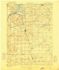
Editions of this 1901 Poynette Map
3 editions found
Other maps of this area

1890 · Madison
USGS Topo · 1:62,500

1890 · Sun Prairie
USGS Topo · 1:62,500

1892 · Madison
USGS Topo · 1:62,500

1895 · Baraboo
USGS Topo · 1:62,500

1896 · Sun Prairie
USGS Topo · 1:62,500

1901 · Poynette
USGS Topo · 1:62,500

1902 · Portage
USGS Topo · 1:62,500

1902 · Briggsville
USGS Topo · 1:62,500

1904 · Madison
USGS Topo · 1:62,500

1905 · Sun Prairie
USGS Topo · 1:62,500