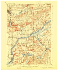
1895 Map of Baraboo
USGS Topo · Published 1926About this map
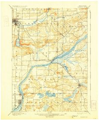
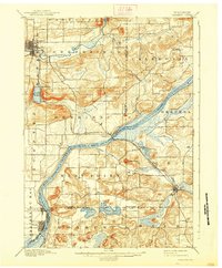
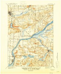
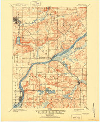
The Baraboo River winds through a landscape defined by the striking topography of the Baraboo Narrows and the deep basin of Devils Lake. Surveyed in the early 1890s, this area shows a well-established network of valley settlements and upland townships. The Wisconsin River serves as a major geographical divider, with the Chicago and Northwestern railroad cutting across the terrain to connect Merrimac and Lodi. Significant elevation changes are marked by features like Gibraltar Rock, which overlooks the river plains. The distribution of small hubs such as Prairie du Sac, Sauk, and Okee illustrates a late-19th-century economy centered on river proximity and rail access. Near the southern boundary, Crystal Lake and Fish Lake sit within a cluster of glacial hills, providing a detailed view of the rural landscape before modern development altered these drainage patterns.
Find a feature on this map
36 named features on this map. Tap any name to fly to it.
Don’t see what you’re looking for? This feature index may not catch every label — zoom into the map to look around manually.
Map Details
Editions of this 1895 Baraboo Map
9 editions found
Other maps of this area

1890 · Madison
USGS Topo · 1:62,500

1892 · Madison
USGS Topo · 1:62,500

1895 · Baraboo
USGS Topo · 1:62,500

1901 · Denzer
USGS Topo · 1:62,500

1901 · Poynette
USGS Topo · 1:62,500

1901 · The Dells
USGS Topo · 1:62,500

1902 · Portage
USGS Topo · 1:62,500

1902 · Briggsville
USGS Topo · 1:62,500

1904 · Madison
USGS Topo · 1:62,500

1906 · Madison
USGS Topo · 1:62,500