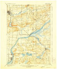
1895 Map of Baraboo
USGS Topo · Published 1931About this map
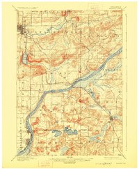
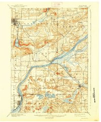
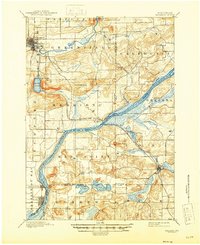
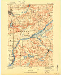
The Wisconsin River carves a dramatic path through this 1892 survey, which captures the region's development during the late nineteenth-century railroad expansion. The Chicago and Northwestern R. R. crosses the water at Merrimac, while the C. M. and St. P. R. R. serves the growing community of Lodi. To the north, the city of Baraboo is established along the banks of the Baraboo River, just north of the distinctive glacial landscape of Devils Lake.
Find a feature on this map
39 named features on this map. Tap any name to fly to it.
Don’t see what you’re looking for? This feature index may not catch every label — zoom into the map to look around manually.
Map Details
Editions of this 1895 Baraboo Map
9 editions found
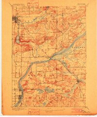
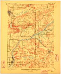
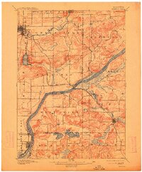
Other maps of this area

1890 · Madison
USGS Topo · 1:62,500

1892 · Madison
USGS Topo · 1:62,500

1895 · Baraboo
USGS Topo · 1:62,500

1901 · Denzer
USGS Topo · 1:62,500

1901 · Poynette
USGS Topo · 1:62,500

1901 · The Dells
USGS Topo · 1:62,500

1902 · Portage
USGS Topo · 1:62,500

1902 · Briggsville
USGS Topo · 1:62,500

1904 · Madison
USGS Topo · 1:62,500

1906 · Madison
USGS Topo · 1:62,500