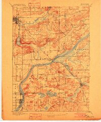
1895 Map of Baraboo
USGS Topo · Published 1902About this map
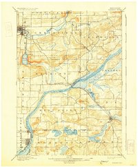
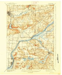
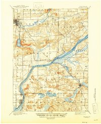
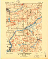
The Wisconsin River snakes through this 1892 survey, defining the boundaries of central Wisconsin counties as it flows past the established rail hubs of Merrimac and Lodi. The topography is dominated by the dramatic quartzite ridges of the Baraboo Range, where Devils Lake is nestled between steep bluffs. Further north, the Baraboo River meanders toward the Baraboo Narrows, providing a natural corridor for the Chicago and North Western Ry to reach the growing seat of Baraboo.
Find a feature on this map
39 named features on this map. Tap any name to fly to it.
Don’t see what you’re looking for? This feature index may not catch every label — zoom into the map to look around manually.
Map Details
Editions of this 1895 Baraboo Map
9 editions found
Other maps of this area

1890 · Madison
USGS Topo · 1:62,500

1892 · Madison
USGS Topo · 1:62,500

1895 · Baraboo
USGS Topo · 1:62,500

1901 · Denzer
USGS Topo · 1:62,500

1901 · Poynette
USGS Topo · 1:62,500

1901 · The Dells
USGS Topo · 1:62,500

1902 · Portage
USGS Topo · 1:62,500

1902 · Briggsville
USGS Topo · 1:62,500

1904 · Madison
USGS Topo · 1:62,500

1906 · Madison
USGS Topo · 1:62,500