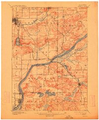
1895 Map of Baraboo
USGS Topo · Published 1913About this map
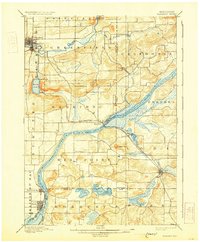
The Wisconsin River carves a deep path through the heart of Sauk and Columbia Counties, serving as the dominant geographic feature of this 1890s survey. The landscape is defined by the sharp transition between the river valley and the high, broken ground of the Baraboo range to the north. Settlement is concentrated in established river towns and rail junctions, including the significant grid of Baraboo and the twin riverside communities of Prairie du Sac and Sauk. The presence of the Chicago and Northwestern railroad facilitated the growth of smaller stops like Merrimac and Lodi, which were essential links in the region's agricultural and transport economy. Natural landmarks such as the glacial Devils Lake and the prominent Gibraltar Rock stand out as distinct topographic features, while numerous smaller streams like Rowley Creek and Spring Creek feed the larger drainage basins. The map illustrates a late 19th-century mosaic of organized townships, including Merrimac, Sumpter, and West Point.
Find a feature on this map
39 named features on this map. Tap any name to fly to it.
Don’t see what you’re looking for? This feature index may not catch every label — zoom into the map to look around manually.
Map Details
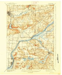
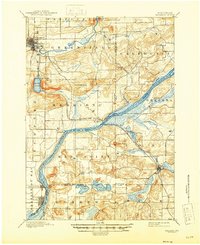
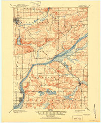
Editions of this 1895 Baraboo Map
9 editions found
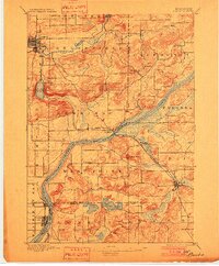
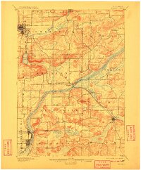
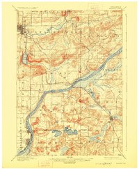
Other maps of this area

1890 · Madison
USGS Topo · 1:62,500

1892 · Madison
USGS Topo · 1:62,500

1895 · Baraboo
USGS Topo · 1:62,500

1901 · Denzer
USGS Topo · 1:62,500

1901 · Poynette
USGS Topo · 1:62,500

1901 · The Dells
USGS Topo · 1:62,500

1902 · Portage
USGS Topo · 1:62,500

1902 · Briggsville
USGS Topo · 1:62,500

1904 · Madison
USGS Topo · 1:62,500

1906 · Madison
USGS Topo · 1:62,500