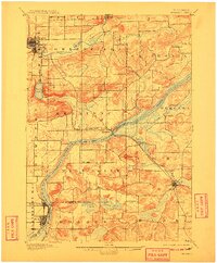
1895 Map of Baraboo
USGS Topo · Published 1908About this map
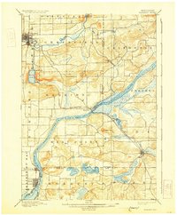
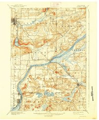
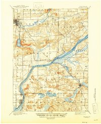
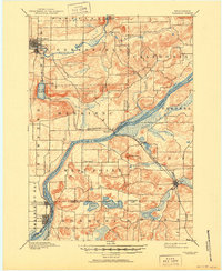
The Baraboo River winds through a landscape of striking relief in this late nineteenth-century survey, passing through the Baraboo townsite and the geological bottleneck of the Baraboo Narrows. To the south, the Wisconsin River creates a natural boundary as it flows past Merrimac and Prairie du Sac. The mapping reflects a period when the Chicago and Northwestern RR was the primary corridor for commerce and travel, linking the established centers of Lodi and Sauk to the rest of the state. Prominent landforms such as Gibraltar Rock and the deep basin of Devils Lake stand out against the agricultural grid of township lines. Smaller settlements like Okee, Alloa, and Farr Corners dot the rural landscape, offering points of interest for those tracing family ties to the pioneer farmsteads and early villages of Sauk, Columbia, and Dane counties.
Find a feature on this map
38 named features on this map. Tap any name to fly to it.
Don’t see what you’re looking for? This feature index may not catch every label — zoom into the map to look around manually.
Map Details
Editions of this 1895 Baraboo Map
9 editions found
Other maps of this area

1890 · Madison
USGS Topo · 1:62,500

1892 · Madison
USGS Topo · 1:62,500

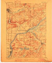
1895 · Baraboo
USGS Topo · 1:62,500

1901 · Denzer
USGS Topo · 1:62,500

1901 · Poynette
USGS Topo · 1:62,500

1901 · The Dells
USGS Topo · 1:62,500

1902 · Portage
USGS Topo · 1:62,500

1902 · Briggsville
USGS Topo · 1:62,500

1904 · Madison
USGS Topo · 1:62,500

1906 · Madison
USGS Topo · 1:62,500