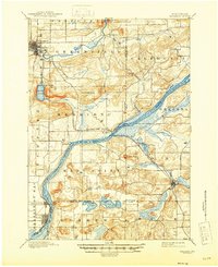
1895 Map of Baraboo
USGS Topo · Published 1946About this map
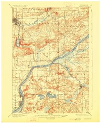
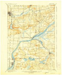
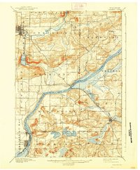
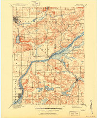
Baraboo serves as the northern anchor of this late nineteenth-century survey, situated along the winding course of the Baraboo River. The landscape is defined by the dramatic topography of the Baraboo Range, including the Baraboo Narrows and the prominent Devils Lake, which is flanked by the small settlement of Kirks. To the south, the Wisconsin River cuts a wide path through the territory, creating a natural boundary between Sauk and Columbia Counties.
Find a feature on this map
37 named features on this map. Tap any name to fly to it.
Don’t see what you’re looking for? This feature index may not catch every label — zoom into the map to look around manually.
Map Details
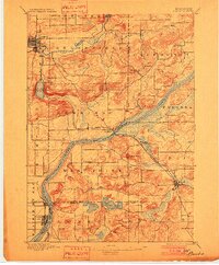
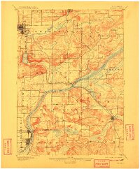
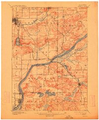
Editions of this 1895 Baraboo Map
9 editions found
Other maps of this area

1890 · Madison
USGS Topo · 1:62,500

1892 · Madison
USGS Topo · 1:62,500

1895 · Baraboo
USGS Topo · 1:62,500

1901 · Denzer
USGS Topo · 1:62,500

1901 · Poynette
USGS Topo · 1:62,500

1901 · The Dells
USGS Topo · 1:62,500

1902 · Portage
USGS Topo · 1:62,500

1902 · Briggsville
USGS Topo · 1:62,500

1904 · Madison
USGS Topo · 1:62,500

1906 · Madison
USGS Topo · 1:62,500