Loading...
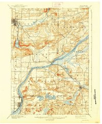
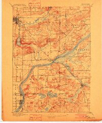
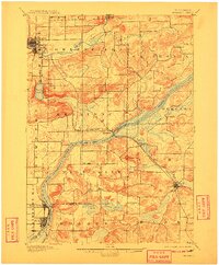
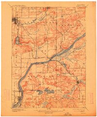
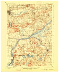
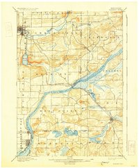
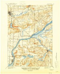
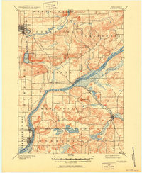
Loading map...1895 Map of Baraboo
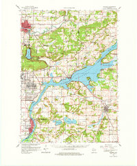
USGS Topo · Published 1938About this map
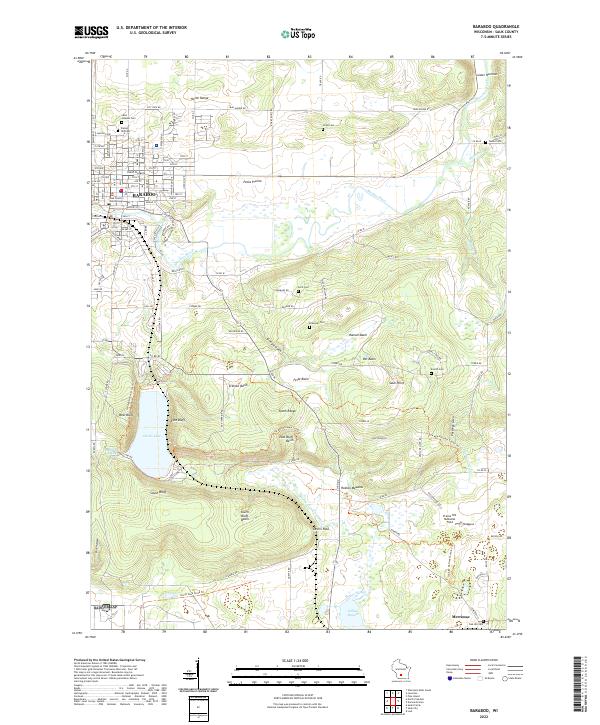
The Wisconsin River carves a dramatic path through this 1890s landscape, serving as a natural divider between the town of Baraboo and the southern agricultural settlements. This survey, conducted by Van. H. Manning, reveals a region defined by its distinct geology and early rail infrastructure. The Chicago and Northwestern R. R. follows the river corridor, connecting industrial nodes and rural depots like Merrimac and Kirks.
Find a feature on this map
35 named features on this map. Tap any name to fly to it.
Don’t see what you’re looking for? This feature index may not catch every label — zoom into the map to look around manually.
Map Details
Date Portrayed1895
Date Published1938
PublisherU.S. Geological Survey
Map TypeTopographic
Scale1:62,500
Physical Dimensions16.83 x 20.39 inches
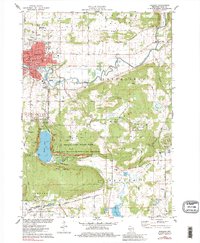
Editions of this 1895 Baraboo Map
9 editions found

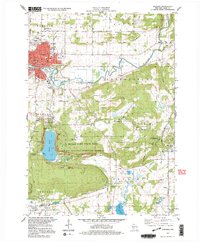
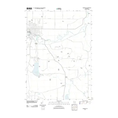
Historical Maps of Baraboo Through Time
10 maps found

Featured Locations
Source Details
SourceU.S. Geological Survey
CopyrightPublic Domain