Old Maps of Bridle Ridge, Springfield for Academic Research
Study the evolution of Bridle Ridge with 19 high-resolution historic maps. Whether you're teaching, researching, or modeling changes in land use, these maps provide essential visual documentation of urban, environmental, and geographic change.
- Analyze long-term change: Track patterns in development, transportation, and natural features.
- Ideal for environmental or urban studies: Support academic projects with primary historical map data.
- Use in the classroom or lab: Educators and researchers rely on these maps to bring historical context to life.
These maps are a powerful tool for teaching, research, and visualizing how Bridle Ridge has changed over the decades.
Bridle Ridge, Springfield maps
(19)- 1907 Map of Cross Plains, 1960 Print
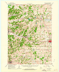
 1907 Cross Plains1960 Print · USGSWestern Dane County comes to life in this early 1900s survey, showing the transition from the rolling prairie to the driftless hills. Genealogists can trace family roots through historic junctions and rural centers like Marxville, Pine Bluff, and Ashton Church.
 - 1909 Map of Cross Plains
 1909 Cross Plains1909 Print · USGSDane County at the turn of the century shows a bustling corridor of rail-side towns and rural townships. Trace the early development of Mt Horeb, Cross Plains, and Middleton Junction alongside landmarks like Ashton Church and Richardson Cave.4 unique versions available
 - 1957 Map of Madison, 1967 Print
 1957 Madison1967 Print · USGSSouth-central Wisconsin in the mid-fifties reveals a landscape of industrial hubs and glacial lakes linked by a dense rail and highway network. Genealogists and historians can trace the development of lakeside communities and find notable sites like Badger Ordnance Works and the Horicon National Wildlife Refuge.3 unique versions available
 - 1960 Map of Madison
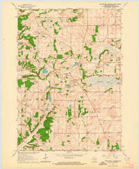
 1960 Madison1960 Print · USGSCentral and Southern Wisconsin are captured in the late fifties, showing the region as its rail-and-river network matured. Trace the paths of the Soo Line RR or locate family roots near Lake Mendota and Horicon National Wildlife Refuge.2 unique versions available
 - 1962 Map of Cross Plains, 1964 Print
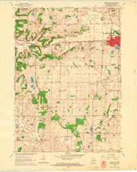
 1962 Cross Plains1964 Print · USGSWestern Dane County in the early sixties shows a landscape of deep valleys and rising ridges between Cross Plains and Mt Horeb. Genealogists and historians can trace family locations through numerous rural sites like St Marys Cem, Richardson Cave, and the Pine Bluff Observatory.2 unique versions available
 - 1962 Map of Springfield Corners, 1964 Print
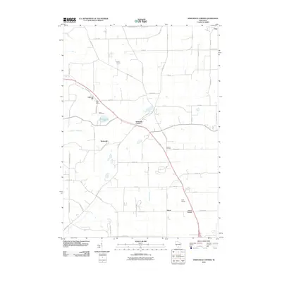
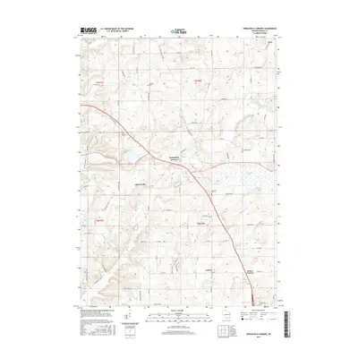
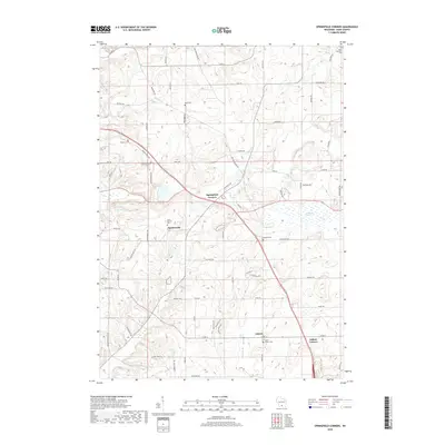
 1962 Springfield Corners1964 Print · USGSThe rural landscapes of Dane County in the early sixties reveal a network of small farming hamlets and glacial marshlands. Genealogists can trace family names at St Johns Cem and Kohlman Cem or locate the rural Springfield Sch.2 unique versions available
 - 1962 Map of Middleton, 1964 Print
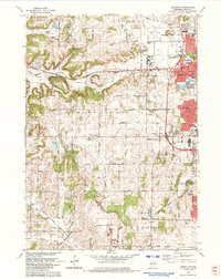
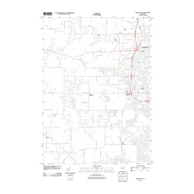
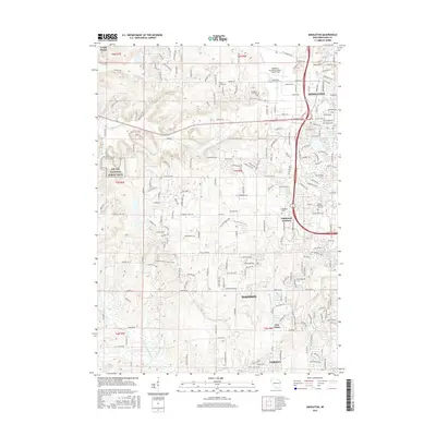
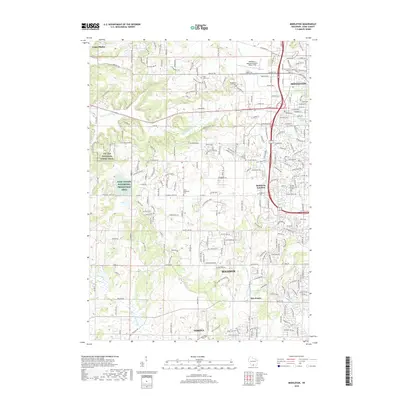
 1962 Middleton1964 Print · USGSDane County underwent a period of significant post-war growth as the town of Middleton expanded along its historic rail lines. Researchers can trace local family history through numerous rural landmarks like St Johns Cem, the Drive-in Theater, and the West Middleton Sch.3 unique versions available
 - 1983 Map of Middleton, 1984 Print
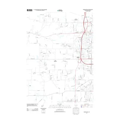
 1983 Middleton1984 Print · USGSThe western suburbs of Madison are shown in the early eighties as they expanded into the hills of Dane County. Researchers can trace historical school sites like Kromrey Sch and the rail corridors of the Wisconsin Western and Chicago and North Western.
 - 1991 Map of Madison
 1991 Madison1991 Print · USGSMadison and its iconic glacial lakes are captured here during a time of steady urban expansion and regional growth. Researchers can trace the mid-century development of the University of Wisconsin, locate family sites near Forest Hill Cem, or explore the footprint of the Badger Army Ammunition Plant.
 - 2010 Map of Middleton, 2010 Print
 2010 Middleton2010 Print · USGSCovers Bridle Ridge, including Madison, Middleton, and other nearby areas
 - 2010 Map of Springfield Corners, 2010 Print
 2010 Springfield Corners2010 Print · USGSCovers Bridle Ridge, including Middleton, Town of Springfield, and other nearby areas
 - 2013 Map of Springfield Corners, 2013 Print
 2013 Springfield Corners2013 Print · USGSCovers Bridle Ridge, including Middleton, Town of Springfield, and other nearby areas
 - 2013 Map of Middleton, 2013 Print
 2013 Middleton2013 Print · USGSCovers Bridle Ridge, including Madison, Middleton, and other nearby areas
 - 2016 Map of Springfield Corners, 2016 Print
 2016 Springfield Corners2016 Print · USGSCovers Bridle Ridge, including Middleton, Town of Springfield, and other nearby areas
 - 2016 Map of Middleton, 2016 Print
 2016 Middleton2016 Print · USGSCovers Bridle Ridge, including Madison, Middleton, and other nearby areas
 - 2018 Map of Springfield Corners, 2018 Print
 2018 Springfield Corners2018 Print · USGSCovers Bridle Ridge, including Middleton, Town of Springfield, and other nearby areas
 - 2018 Map of Middleton, 2018 Print
 2018 Middleton2018 Print · USGSCovers Bridle Ridge, including Madison, Middleton, and other nearby areas
 - 2022 Map of Springfield Corners, 2022 Print
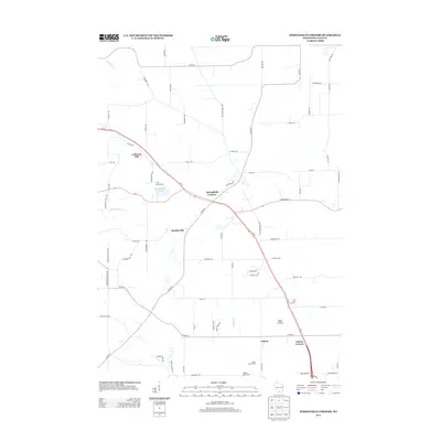
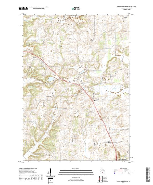 2022 Springfield Corners2022 Print · USGSNorthwest of Madison in the early 2020s, this area maintains its character through historic hamlets and generational churchyards. Genealogists can trace family names at Saint Peter's Cem and Kohlman Cem near the wetlands of Waunakee Marsh.
 - 2022 Map of Middleton, 2022 Print
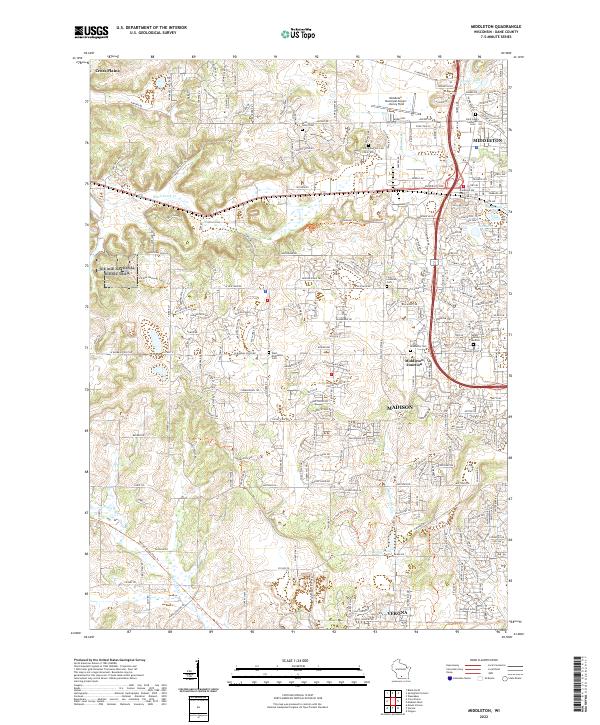 2022 Middleton2022 Print · USGSDane County's western suburbs show a blend of modern infrastructure and preserved glacial history in the early 2020s. Genealogists and historians can locate numerous family sites at Middleton Cem, Sunset Memory Gardens, and along the Wisconsin & Southern RR.
End of results
Showing maps 1-19 of 19
Frequently asked questions
- What are the different types of historical maps available for Bridle Ridge?
- What is the oldest map of Bridle Ridge?
- Where can I purchase historical maps of Bridle Ridge for my home or office?
- Where can I download high-res historical maps of Bridle Ridge?
- Are there historical topographic maps available for Bridle Ridge?
- Is there historical aerial imagery available for Bridle Ridge?
- Where are historical maps of Bridle Ridge sourced from?