Old Maps of Herman, Wisconsin for Academic Research
Study the evolution of Herman with 32 high-resolution historic maps. Whether you're teaching, researching, or modeling changes in land use, these maps provide essential visual documentation of urban, environmental, and geographic change.
- Analyze long-term change: Track patterns in development, transportation, and natural features.
- Ideal for environmental or urban studies: Support academic projects with primary historical map data.
- Use in the classroom or lab: Educators and researchers rely on these maps to bring historical context to life.
These maps are a powerful tool for teaching, research, and visualizing how Herman has changed over the decades.
Herman, WI maps
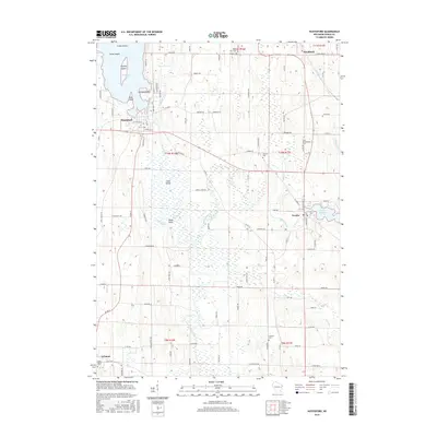
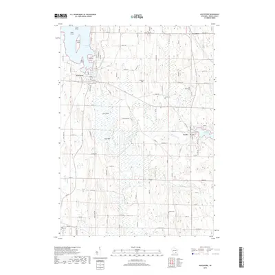
(32)- 1904 Map of Hartford
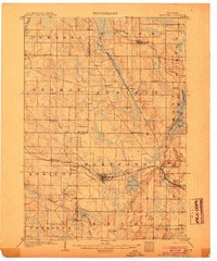 1904 Hartford1904 Print · USGSThe Kettle Moraine region of Washington and Dodge counties comes into focus in this early century survey of Wisconsin’s glacial landscape. Genealogists can trace family roots through small settlements like Schleisingerville, Hochheim, and St. Lawrence, or locate landmarks like Holy Hill and Pike Lake.3 unique versions available
 - 1955 Map of Horicon, 1971 Print
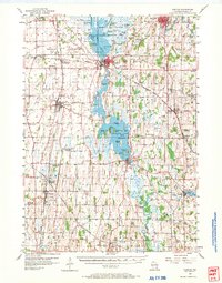 1955 Horicon1971 Print · USGSDodge County's river-and-rail landscape is captured here in the mid-fifties, centered on the wetlands of the Horicon Marsh. Genealogists and local historians can trace rural roots through numerous country schools and cemeteries, from Minnesota Junction to the Holy Assumption Cem and Woodland Road Sch.
 - 1957 Map of Madison, 1967 Print
 1957 Madison1967 Print · USGSSouth-central Wisconsin in the mid-fifties reveals a landscape of industrial hubs and glacial lakes linked by a dense rail and highway network. Genealogists and historians can trace the development of lakeside communities and find notable sites like Badger Ordnance Works and the Horicon National Wildlife Refuge.3 unique versions available
 - 1959 Map of Hartford, 1961 Print
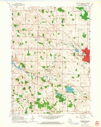
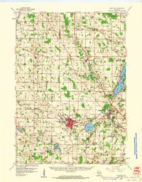 1959 Hartford1961 Print · USGSSoutheastern Wisconsin's kettle moraine landscape is shown here in the late fifties as rail lines and rural schools defined local life. Trace ancestral roots through sites like Christs Manger Sch Cem, the old Lincoln Sch, and the rail junction at Slinger.2 unique versions available
 - 1959 Map of Nenno, 1964 Print
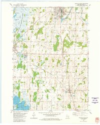
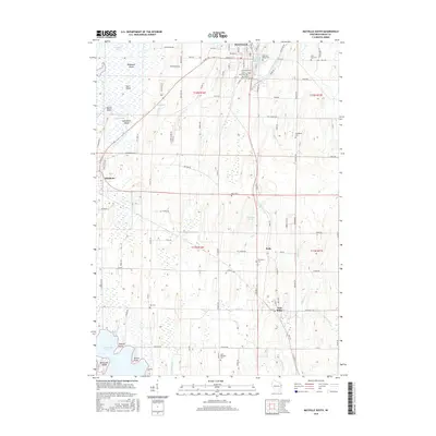
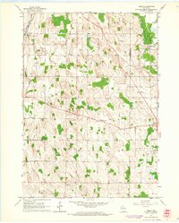 1959 Nenno1964 Print · USGSThe rural borderlands of Dodge and Washington counties are documented here in the late fifties, showcasing a landscape of drumlins and dairy farms. Genealogists can trace family footprints through the many district schools and cemeteries like Reform Cem, Liberty Sch, and Herman Center.3 unique versions available
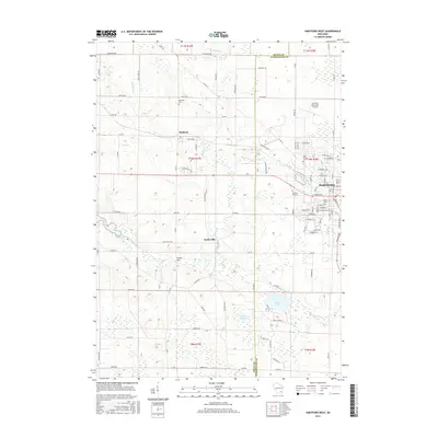
 - 1959 Map of Hartford West, 1964 Print
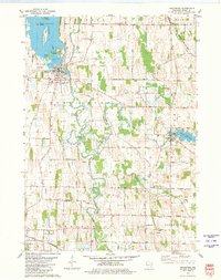
 1959 Hartford West1964 Print · USGSDodge and Washington Counties are shown here in the late fifties as the area balanced industrial growth with its agricultural roots. Genealogists can trace family landmarks through numerous sites like Hallowell Cemetery, Saylesville, and the St Kilian School.3 unique versions available
 - 1960 Map of Madison
 1960 Madison1960 Print · USGSCentral and Southern Wisconsin are captured in the late fifties, showing the region as its rail-and-river network matured. Trace the paths of the Soo Line RR or locate family roots near Lake Mendota and Horicon National Wildlife Refuge.2 unique versions available
 - 1975 Map of Horicon NE, 1977 Print
 1975 Horicon NE1977 Print · USGSDodge County farmland and the edge of a massive wetland complex are captured in this mid-seventies aerial study. Trace the residential growth of Mayville and Iron Ridge or examine the shoreline of Sinnissippi Lake.
 - 1980 Map of Hustisford, 1981 Print
 1980 Hustisford1981 Print · USGSDodge County's river valleys and small farming communities are captured here in the late seventies. Genealogists and local historians can trace rural family plots like St Bartholomew Cem and Lebanon Cem or locate the old John Hustis Sch and Neosho Millpond.
 - 1980 Map of Mayville South, 1981 Print
 1980 Mayville South1981 Print · USGSDodge County in the late seventies is captured here, from the industrial corridors of the Rock River to the vast wetlands of the Horicon Marsh. Trace local family roots through numerous sites like Township Cem, St Johns Ch, and the rural Southview Sch.
 - 1984 Map of Oconomowoc, 1985 Print
 1984 Oconomowoc1985 Print · USGSSoutheast Wisconsin in the mid-eighties shows a landscape defined by its glacial heritage and expanding metropolitan corridors. Genealogists and historians can trace the development of lakeside communities like Oconomowoc and Pewaukee, or find established settlements such as Watertown and Beaver Dam.
 - 1991 Map of Oconomowoc
 1991 Oconomowoc1991 Print · USGSSoutheastern Wisconsin in the early nineties shows a landscape of glacial lakes and growing suburbs. Trace local history through Aztalan State Park, Carroll College, and the sprawling Horicon Marsh State Wildlife Area.
 - 2010 Map of Hartford West, 2010 Print
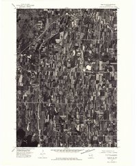
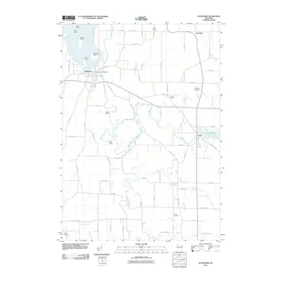
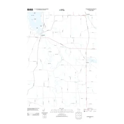
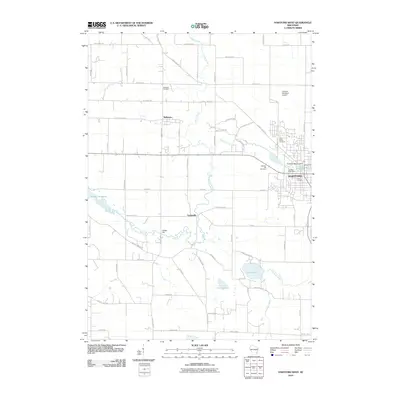 2010 Hartford West2010 Print · USGSCovers Herman, including Hartford, Addison, and other nearby areas
 - 2010 Map of Nenno, 2010 Print
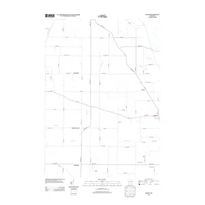
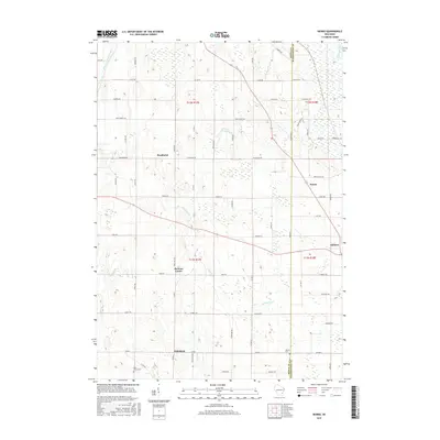
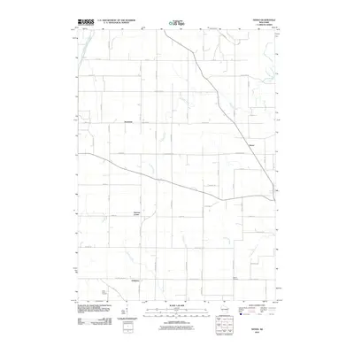 2010 Nenno2010 Print · USGSCovers Herman, including Addison, Wayne, and other nearby areas
 - 2010 Map of Mayville South, 2010 Print
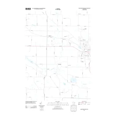
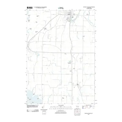 2010 Mayville South2010 Print · USGSCovers Herman, including Mayville, Horicon, and other nearby areas
 - 2010 Map of Hustisford, 2010 Print
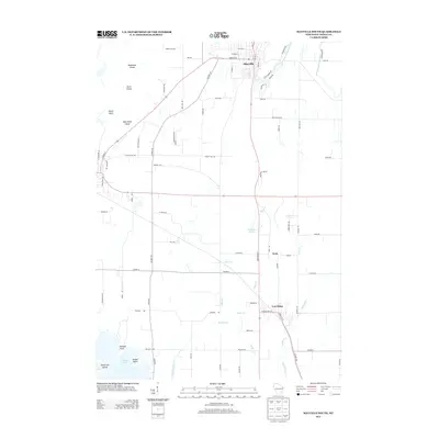
 2010 Hustisford2010 Print · USGSCovers Herman, including Lebanon, Ashippun, and other nearby areas
 - 2013 Map of Hustisford, 2013 Print
 2013 Hustisford2013 Print · USGSCovers Herman, including Lebanon, Ashippun, and other nearby areas
 - 2013 Map of Nenno, 2013 Print
 2013 Nenno2013 Print · USGSCovers Herman, including Addison, Wayne, and other nearby areas
 - 2013 Map of Hartford West, 2013 Print
 2013 Hartford West2013 Print · USGSCovers Herman, including Hartford, Addison, and other nearby areas
 - 2013 Map of Mayville South, 2013 Print
 2013 Mayville South2013 Print · USGSCovers Herman, including Mayville, Horicon, and other nearby areas
 - 2015 Map of Hustisford, 2015 Print
 2015 Hustisford2015 Print · USGSCovers Herman, including Lebanon, Ashippun, and other nearby areas
 - 2015 Map of Hartford West, 2015 Print
 2015 Hartford West2015 Print · USGSCovers Herman, including Hartford, Addison, and other nearby areas
 - 2015 Map of Mayville South, 2015 Print
 2015 Mayville South2015 Print · USGSCovers Herman, including Mayville, Horicon, and other nearby areas
 - 2015 Map of Nenno, 2015 Print
 2015 Nenno2015 Print · USGSCovers Herman, including Addison, Wayne, and other nearby areas
 - 2018 Map of Hustisford, 2018 Print
 2018 Hustisford2018 Print · USGSCovers Herman, including Lebanon, Ashippun, and other nearby areas
Showing maps 1-25 of 32
Top cities near Herman
- West Bend historical maps
- Hartford historical maps
- Richfield historical maps
- Lisbon historical maps
- Merton historical maps
- Mayville historical maps
See more
Top neighborhoods of Herman
Frequently asked questions
- What are the different types of historical maps available for Herman?
- What is the oldest map of Herman?
- Where can I purchase historical maps of Herman for my home or office?
- Where can I download high-res historical maps of Herman?
- Are there historical topographic maps available for Herman?
- Is there historical aerial imagery available for Herman?
- Where are historical maps of Herman sourced from?