2000s (21st Century) Maps of Brussels, Wisconsin
Explore 4 historic maps of Brussels from the 2000s (21st Century). These maps offer a rare glimpse into what life looked like during the 2000s — showing old roads, neighborhoods, homes, and landmarks that have changed or disappeared over time.
Whether you're researching your family's past, planning a metal detecting trip, or studying how Brussels's landscape evolved across the 2000s, these high-resolution maps are a powerful tool for exploring the history of this region.
- Focus on a specific era: All maps on this page are from the 2000s, giving you a focused view of this time period.
- See what’s changed: Compare century-old streets, trails, and buildings to today's modern landscape using overlays and satellite layers.
- Research with precision: Use these maps for genealogy, historical research, land use analysis, or educational projects.
- View, download, or print: Maps are fully viewable online in high resolution, and can be downloaded or printed for your own records.
Start exploring Brussels's history through authentic maps from the 2000s. This is your window into the past.
Brussels, WI maps
(4)- 2022 Map of Brussels, 2022 Print
 2022 Brussels2022 Print · USGSThe Door Peninsula's unique topography and rural settlements are documented here in the early twenty-first century. Genealogists and historians can trace family locations through sites like Saint Huberts Catholic Cem and the villages of Brussels and Kolberg.
 - 2022 Map of Little Sturgeon SW, 2022 Print
 2022 Little Sturgeon SW2022 Print · USGSThe Door County shoreline along Green Bay and Lake Michigan is captured here in the early twenty-first century. Genealogists and local historians can trace family roots around the White Star Cemetery and along rural routes like Gardner Rd and Brussels Rd.
 - 2022 Map of Namur, 2022 Print
 2022 Namur2022 Print · USGSThe Belgian heritage of the Door Peninsula is preserved here as the modern road network meets the shores of Green Bay. Researchers can trace the layout of small crossroads communities and family landmarks like Dhuey Hill, Saint Marys Cem, and Duvall Swamp.
 - 2023 Map of Little Sturgeon, 2023 Print
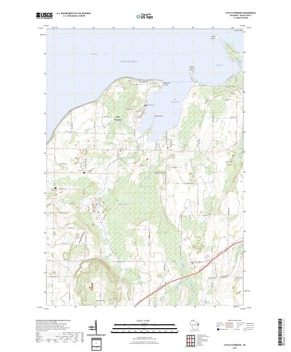 2023 Little Sturgeon2023 Print · USGSThe southwestern shores of Door County appear in high detail on this contemporary survey of the Little Sturgeon area. Genealogists can trace family landmarks and local burial sites like Saint Joseph Cem and Precious Blood Cem.
End of results
Showing maps 1-4 of 4
Top cities near Brussels
- Sturgeon Bay historical maps
- Algoma historical maps
- Luxemburg historical maps
- Humboldt historical maps
- Lincoln historical maps
- Casco historical maps
See more
Top neighborhoods of Brussels
Frequently asked questions
- What are the different types of historical maps available for Brussels?
- What is the oldest map of Brussels?
- Where can I purchase historical maps of Brussels for my home or office?
- Where can I download high-res historical maps of Brussels?
- Are there historical topographic maps available for Brussels?
- Is there historical aerial imagery available for Brussels?
- Where are historical maps of Brussels sourced from?