Old Maps of Forestville, Wisconsin
Explore 31 old maps of Forestville, spanning from 1952 to today. These high-resolution historic maps reveal how streets, neighborhoods, landmarks, and natural features evolved over time — perfect for genealogy, metal detecting, research, and local history exploration.
What you can do with these maps:
- See how Forestville changed over time: Compare historical maps to modern-day views to trace roads, homesites, rail lines & more.
- View detailed metadata: Each map includes creators, publishers, year, scale, and archive source.
- Overlay maps with satellite & LiDAR: Visualize the past alongside modern tools to explore terrain & human change.
- Trusted historical sources: Maps sourced from the USGS, Library of Congress, and other archives.
- Access maps your way: View online, download high-res files, or order prints for personal or research use.
Start exploring old maps of Forestville to uncover forgotten places, hidden landmarks, and the deep history beneath your feet.
Forestville, WI maps
(31)- 1952 Map of Casco, 1954 Print
 1952 Casco1954 Print · USGSWisconsin's Door Peninsula hinterlands come to life in the early 1950s, showing a landscape of small dairy towns and local rail lines. Genealogists can trace family roots through numerous country parishes and burial sites like St Marys Cem, Holy Trinity Cem, and the rural Luxemburg area.2 unique versions available
 - 1954 Map of Manitowoc, 1968 Print
 1954 Manitowoc1968 Print · USGSLake Michigan served as a vital transit corridor in the mid-fifties, with car and auto ferries linking the industrial ports of Wisconsin to the Michigan timberlands. Genealogists and maritime historians can trace active ferry routes like the Ann Arbor Railway Car and Auto Ferry and locate early settlements from Brussels to Algoma.2 unique versions available
 - 1958 Map of Manitowoc
 1958 Manitowoc1958 Print · USGSLake Michigan and its shorelines are shown in the late fifties when maritime transport defined the region. Researchers can trace the routes of the Ann Arbor Railroad Ferry or locate old settlements like St. Nazianz, Rostock, and Two Creeks.
 - 1960 Map of Sturgeon Bay, 1962 Print
 1960 Sturgeon Bay1962 Print · USGSThe Door County peninsula in the early sixties shows a bustling maritime corridor defined by the Sturgeon Bay ship canal. Researchers can locate numerous vanished country schoolhouses like Hainesville Sch, the Ahnapee and Western rail line, and family landmarks like Monument Point.
 - 1960 Map of Algoma, 1962 Print
 1960 Algoma1962 Print · USGSCoastal Kewaunee County thrived in the early sixties as a network of rail and water centered on the port of Algoma. Researchers can trace old family names and community foundations at Brockhausen Cem, the Kodan School, and along the Ahnapee and Western line.2 unique versions available
 - 1961 Map of Little Sturgeon, 1963 Print
 1961 Little Sturgeon1963 Print · USGSThe Door Peninsula and Green Bay coastline come alive in this early sixties survey of the waterside townships. Researchers can trace rural landmarks like the Tornado Sch, White Star Ch, and the many small cemeteries dotting the hills near Little Sturgeon.
 - 1978 Map of Brussels, 1979 Print
 1978 Brussels1979 Print · USGSThe Door Peninsula landscape appears here in the late seventies, showing the transition from the high ridges of the Niagara Escarpment to the eastern lowlands. Researchers can locate family landmarks like St Francis Ch and St Michaels Cem or trace the early Ahnapee State Trail.
 - 1981 Map of Sturgeon Bay West
 1981 Sturgeon Bay West1981 Print · USGSThe Door Peninsula's rugged coast and maritime corridors are captured here in the early eighties. Genealogists and historians can trace family-named sites like Schulties Cem, the old Ahnapee and Western rail line, and Hainesville.
 - 1982 Map of Little Sturgeon, 1983 Print
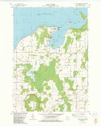 1982 Little Sturgeon1983 Print · USGSDoor County's southern peninsula comes into focus in the early eighties, showcasing a mix of wetland conservation and coastal settlement. Genealogists and historians can locate family landmarks like the Stevenson Cem, St Joseph Ch, and Tornado Memorial County Park.
 - 1982 Map of Forestville, 1983 Print
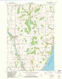 1982 Forestville1983 Print · USGSIn the early 1980s, the Door and Kewaunee border was a quiet landscape of dairy country and river bends. Genealogists can trace family names and local landmarks through sites like St Marys Ch, Tanum Ch Cem, and the village of Forestville.
 - 1984 Map of Sturgeon Bay, 1985 Print
 1984 Sturgeon Bay1985 Print · USGSDoor Peninsula and the Kewaunee coast are documented here in the mid-eighties, showing the deep-water harbor at Sturgeon Bay and the rural agricultural interior. Genealogists can trace family roots through crossroads towns like Kolberg, Duvall, and Sugar Bush.2 unique versions available
 - 2010 Map of Brussels, 2010 Print
 2010 Brussels2010 Print · USGSDoor County agricultural life and the prominent Niagara Escarpment are documented here during the early twenty-first century. Genealogists and historians can locate burial sites like Saint Michaels Cemetery and trace the paths of Silver Creek or the Ahnapee River near Brussels.
 - 2010 Map of Forestville, 2010 Print
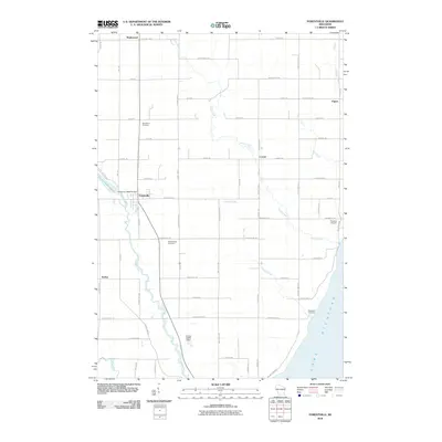 2010 Forestville2010 Print · USGSDoor County at the start of the 2010s shows a landscape of river-fed villages and rural crossroads. Genealogists and historians can trace family-named lands and local landmarks like the Forestville 1885C70 Dam, Saint Mary Cemetery, and the village of Kodan.
 - 2010 Map of Little Sturgeon, 2010 Print
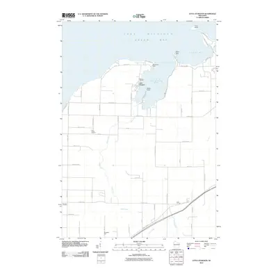 2010 Little Sturgeon2010 Print · USGSDoor County's southern shoreline is detailed in this 2010 study of the bay's indentations and rural uplands. Genealogists can locate family sites at Stevenson Cemetery, White Star Cemetery, or the settlement of Little Sturgeon.
 - 2010 Map of Sturgeon Bay West, 2010 Print
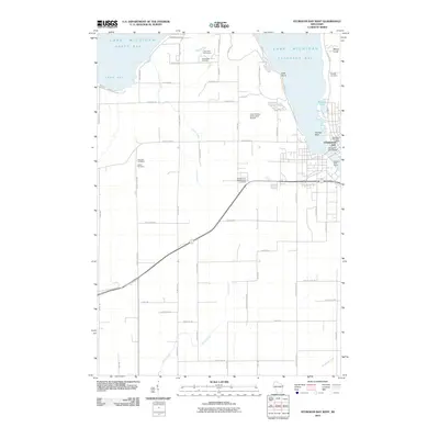 2010 Sturgeon Bay West2010 Print · USGSThe Door County peninsula is captured here in the early twenty-first century, showing the critical maritime corridor where the city meets the bay. Researchers can locate numerous rural family burial grounds like Schulties Cemetery and Bayside Cemetery, or trace the development around Potawatomi State Park.
 - 2013 Map of Little Sturgeon, 2013 Print
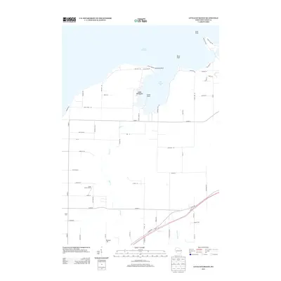 2013 Little Sturgeon2013 Print · USGSThe Door Peninsula shoreline comes into focus during the early twenty-first century, highlighting the rural character of the Little Sturgeon area. Genealogists and local historians can trace family-named sites like Wautier Farm or locate landmarks like Crispy Cedars Airport.
 - 2013 Map of Sturgeon Bay West, 2013 Print
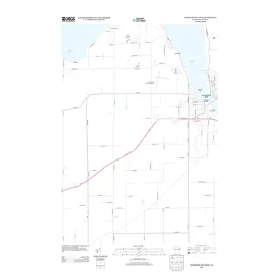 2013 Sturgeon Bay West2013 Print · USGSSturgeon Bay stands at the heart of this Wisconsin peninsula survey during the early twenty-first century. Genealogists and local historians can trace family road names and shoreline changes near Potawatomi State Park, the Sturgeon Bay Bridge, and the Door County Cherryland Airport.
 - 2013 Map of Forestville, 2013 Print
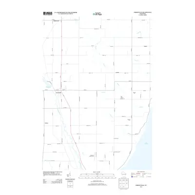 2013 Forestville2013 Print · USGSDoor County's agricultural and riverine landscape is captured here in the early twenty-first century as it meets the Great Lakes coast. Genealogists and researchers can trace family lands near Forestville or locate landmarks like Harmann Farms and the Jorgensen - Stoller Airport.
 - 2013 Map of Brussels, 2013 Print
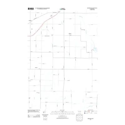 2013 Brussels2013 Print · USGSDoor County agricultural life and topography are captured here in the early twenty-first century, showing a landscape defined by the Niagara Escarpment. Genealogists and local historians can trace family-named lands like Engebose Farms and Dhuey Hill or locate the quiet crossroads of Kolberg and Rosiere.
 - 2015 Map of Sturgeon Bay West, 2015 Print
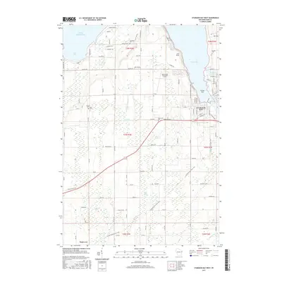 2015 Sturgeon Bay West2015 Print · USGSSturgeon Bay and the Door County peninsula are captured here in the mid-2010s, showcasing the intersection of maritime life and inland agriculture. Researchers can trace the layout of local landmarks like Door County Cherryland Airport, Salem Ch, and the Hainesville Cem.
 - 2015 Map of Forestville, 2015 Print
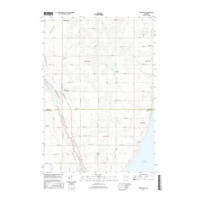 2015 Forestville2015 Print · USGSIn the mid-2010s, this area of the Door Peninsula reveals a landscape of quiet crossroads and winding waterways. Genealogists and hikers can trace the Ice Age National Scenic Trail as it passes Forestville or locate family sites at Woodside Cem and Vignes.
 - 2015 Map of Little Sturgeon, 2015 Print
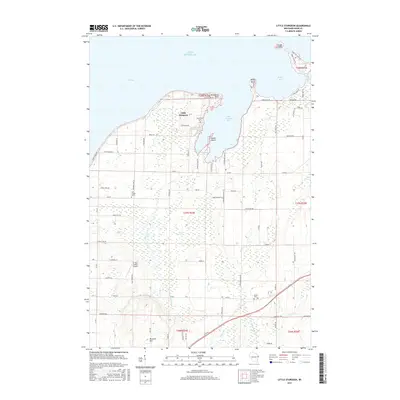 2015 Little Sturgeon2015 Print · USGSDoor County's southern peninsula comes into sharp focus during the mid-2010s, showing the intersection of coastal bay life and inland farming. Genealogists and local historians can locate several rural burial grounds like Stevenson Cem and Geise Cem or trace family land near Brussels Hill.
 - 2015 Map of Brussels, 2015 Print
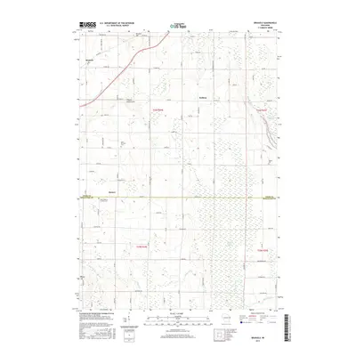 2015 Brussels2015 Print · USGSDoor and Kewaunee counties meet in this agricultural landscape during the mid-2010s, centered on the historic Belgian heritage of the region. Researchers can locate family landmarks like Saint Huberts Catholic Cem and trace the terrain from Brussels Hill to the Forestville Flowage.
 - 2018 Map of Brussels, 2018 Print
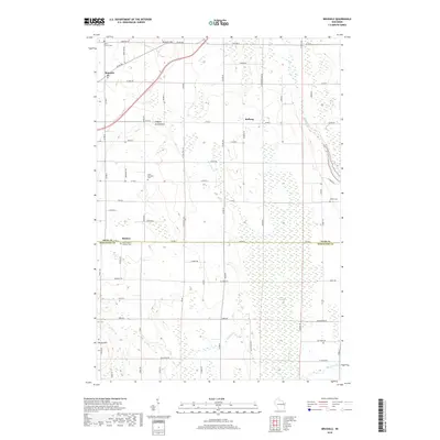 2018 Brussels2018 Print · USGSDoor County agricultural life and the geological rise of the Niagara Escarpment are documented in this recent survey. Researchers can trace family sites near Brussels and Kolberg, or locate rural landmarks like Saint Michaels Cem.
 - 2018 Map of Forestville, 2018 Print
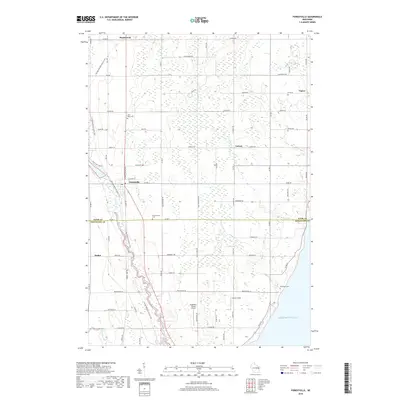 2018 Forestville2018 Print · USGSThe rural border of Door and Kewaunee counties comes alive in this detailed 2018 survey of the lakefront and river country. Genealogists and local historians can trace family locations near Maplewood, Saint Mary Cem, and the winding Ahnapee River.
Showing maps 1-25 of 31
Top cities near Forestville
- Sturgeon Bay historical maps
- Algoma historical maps
- Luxemburg historical maps
- Brussels historical maps
- Lincoln historical maps
- Jacksonport historical maps
See more
Top neighborhoods of Forestville
Frequently asked questions
- What are the different types of historical maps available for Forestville?
- What is the oldest map of Forestville?
- Where can I purchase historical maps of Forestville for my home or office?
- Where can I download high-res historical maps of Forestville?
- Are there historical topographic maps available for Forestville?
- Is there historical aerial imagery available for Forestville?
- Where are historical maps of Forestville sourced from?