2020s Maps of Dairyland, Wisconsin
Explore 6 historic maps of Dairyland from the 2020s. These maps offer a rare glimpse into what life looked like during the 2020s — showing old roads, neighborhoods, homes, and landmarks that have changed or disappeared over time.
Whether you're researching your family's past, planning a metal detecting trip, or studying how Dairyland's landscape evolved across the 2020s, these high-resolution maps are a powerful tool for exploring the history of this region.
- Focus on a specific era: All maps on this page are from the 2020s, giving you a focused view of this time period.
- See what’s changed: Compare century-old streets, trails, and buildings to today's modern landscape using overlays and satellite layers.
- Research with precision: Use these maps for genealogy, historical research, land use analysis, or educational projects.
- View, download, or print: Maps are fully viewable online in high resolution, and can be downloaded or printed for your own records.
Start exploring Dairyland's history through authentic maps from the 2020s. This is your window into the past.
Dairyland, WI maps
(6)- 2022 Map of Moose Junction, 2022 Print
 2022 Moose Junction2022 Print · USGSDouglas County’s wetland interior is documented here in the early twenty-first century, centered on the remote outpost of Moose Junction. Researchers can trace the winding paths of the Spruce River and Toad Cr or locate the sprawling Belden Swamp.
 - 2022 Map of Dairyland, 2022 Print
 2022 Dairyland2022 Print · USGSDouglas County's southern timberlands and the upper reaches of the St. Croix valley are mapped here in the early 2020s. Genealogists can locate Dairyland Cem while outdoor researchers trace McGraw Lake and the Saint Croix National Scenic Riverway.
 - 2022 Map of Empire Swamp, 2022 Print
 2022 Empire Swamp2022 Print · USGSDouglas County’s northern wetlands are preserved in this modern study of the remote Wisconsin borderlands. Researchers can trace the winding course of the Upper Tamarack River and the expansive reaches of Empire Swamp and Bear Cr.
 - 2022 Map of Scovils Lake, 2022 Print
 2022 Scovils Lake2022 Print · USGSNorthwestern Wisconsin's river country is captured here in the early 2020s, centered on the Saint Croix River. Researchers can locate Riverhill Cem and trace the many seasonal paths like Snow Mobile Trl near Scovils Lake.
 - 2022 Map of Black Lake, 2022 Print
 2022 Black Lake2022 Print · USGSThe Minnesota-Wisconsin borderlands appear here in the early twenty-first century, showing a landscape shaped by forest trails and winding creeks. Trace the old rail corridor along the Gandy Dancer State Trail near Belden or locate Black Lake in the north.
 - 2022 Map of Cloverton, 2022 Print
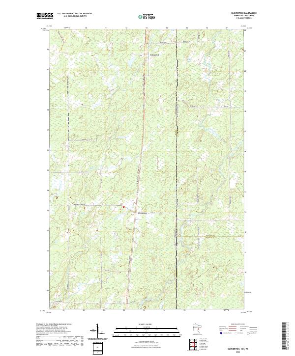 2022 Cloverton2022 Print · USGSSmall border settlements near the Minnesota and Wisconsin line emerge in this contemporary study of Pine County. Researchers can trace the legacy of local transport along the Gandy Dancer State Trail and the waterways of Hay Cr and Cloverton.
End of results
Showing maps 1-6 of 6
Top cities near Dairyland
- Gordon historical maps
- Wascott historical maps
- Bennett historical maps
- Webb Lake historical maps
- Holyoke historical maps
- Kingsdale historical maps
Top neighborhoods of Dairyland
Frequently asked questions
- What are the different types of historical maps available for Dairyland?
- What is the oldest map of Dairyland?
- Where can I purchase historical maps of Dairyland for my home or office?
- Where can I download high-res historical maps of Dairyland?
- Are there historical topographic maps available for Dairyland?
- Is there historical aerial imagery available for Dairyland?
- Where are historical maps of Dairyland sourced from?