Old Maps of Bridge Creek, Wisconsin
Explore 60 old maps of Bridge Creek, spanning from 1935 to today. These high-resolution historic maps reveal how streets, neighborhoods, landmarks, and natural features evolved over time — perfect for genealogy, metal detecting, research, and local history exploration.
What you can do with these maps:
- See how Bridge Creek changed over time: Compare historical maps to modern-day views to trace roads, homesites, rail lines & more.
- View detailed metadata: Each map includes creators, publishers, year, scale, and archive source.
- Overlay maps with satellite & LiDAR: Visualize the past alongside modern tools to explore terrain & human change.
- Trusted historical sources: Maps sourced from the USGS, Library of Congress, and other archives.
- Access maps your way: View online, download high-res files, or order prints for personal or research use.
Start exploring old maps of Bridge Creek to uncover forgotten places, hidden landmarks, and the deep history beneath your feet.
Bridge Creek, WI maps
(60)- 1935 Map of Osseo
 1935 Osseo1935 Print · USGSOsseo and Augusta were busy railway and river hubs in the mid-1930s, where the rural landscape was tied together by dozens of local schools and the Chicago and Northwestern. Genealogists can trace family footprints at Bear Grass Cem and vanished rural landmarks like Rodell Spur and Troubled Waters Sch.
 - 1940 Map of Osseo
 1940 Osseo1940 Print · USGSOsseo and Augusta anchored this river-carved landscape of west-central Wisconsin in the years surrounding the Great Depression. Researchers can trace the heritage of rural neighborhoods through several dozen district schools, including Troubled Waters Sch, Yule Sch, and Churchview Sch.
 - 1948 Map of Fairchild, 1966 Print
 1948 Fairchild1966 Print · USGSWisconsin's West-Central borderlands emerge in this post-war study of the rail-centered towns of Fairchild and Humbird. You can trace the legacy of rural education and industry through numerous landmarks like Blackberry Sch, Wildcat Mound, and the Chicago and North Western rail line.2 unique versions available
 - 1949 Map of Fairchild
 1949 Fairchild1949 Print · USGSThe rural borderlands of Eau Claire, Clark, and Jackson Counties appear here in the late 1940s, centered on the towns of Fairchild and Humbird. Researchers can locate numerous one-room schools like Lone Pine Sch, trace the Chicago and North Western rail line, or find local family sites at Cleveland Cem.
 - 1952 Map of Cadott, 1954 Print
 1952 Cadott1954 Print · USGSChippewa and Eau Claire counties were defined by a thriving network of small school districts and railroad towns in the early fifties. Genealogists can trace family roots through numerous sites like St Rose Cem, Bethlehem Ch, and Baker Sch.2 unique versions available
 - 1952 Map of Stanley, 1954 Print
 1952 Stanley1954 Print · USGSStanley and Thorp anchor this central Wisconsin landscape in the early fifties as the rural schoolhouse system reaches its peak. Genealogists can locate family names at the Evergreen Cem or trace rural education at Busy Bee Sch and Sol Mohr Sch.
 - 1953 Map of Eau Claire, 1965 Print
 1953 Eau Claire1965 Print · USGSWest-central Wisconsin in the mid-fifties shows a landscape of river-valley industry and vast wildlife refuges during the transition from rails to modern highways. Genealogists and historians can trace the rail corridors of the Chicago and North Western or locate family-named landmarks like Decorah Mound and Chippewa Island.4 unique versions available
 - 1958 Map of Eau Claire
 1958 Eau Claire1958 Print · USGSWestern Wisconsin in the late fifties shows a landscape of growing regional hubs and massive wildlife refuges. Trace the rail lines of the Chicago and North Western between Eau Claire and Marshfield, or explore the terrain around Iron Mound and Lake Wissota.
 - 1964 Map of Eau Claire
 1964 Eau Claire1964 Print · USGSWest-central Wisconsin in the mid-1960s was a hub of river-driven industry and expanding rail networks. Researchers can trace historic homesteads near Menomonie, follow the Soo Line RR through Marshfield, or explore the grounds of the Camp McCoy Military Reservation.
 - 1968 Map of Osseo, 1971 Print
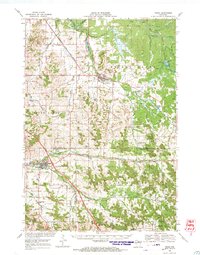 1968 Osseo1971 Print · USGSOsseo and Augusta appear in the late sixties as vital hubs for the Chicago and North Western rail line and regional farming. Researchers can locate historic rural congregations and resting places like St Peters Ch and Thompson Valley Cem amidst a network of small dairy-country valleys.
 - 1979 Map of Horse Creek, 1980 Print
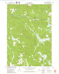 1979 Horse Creek1980 Print · USGSEau Claire County's river valleys and township borders are captured here in the late seventies, showing a landscape of working timber and gravel lands. Genealogists can locate family lands near Koehler Ford, Schoolhouse Creek, and the Hamilton Falls area.
 - 1979 Map of Lake Eau Claire East, 1980 Print
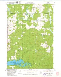 1979 Lake Eau Claire East1980 Print · USGSThe area east of Lake Eau Claire in the late seventies is a landscape of winding creeks and quiet settlements. Researchers can trace family history at Ludington Cem or locate rural landmarks like Wilson Chapel and Hamilton Falls.
 - 1979 Map of Lake Eau Claire West, 1980 Print
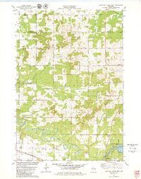 1979 Lake Eau Claire West1980 Print · USGSThe Eau Claire river valley in the late seventies was a landscape of winding creeks and quiet settlements. Researchers can trace rural landmarks like Ludington, locate the Ludington Cem, or follow the Chicago and North Western rail line.
 - 1979 Map of Simes Creek, 1980 Print
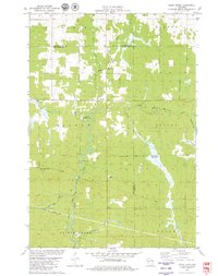 1979 Simes Creek1980 Print · USGSThe borderlands of Eau Claire, Chippewa, and Clark counties are mapped here in the late seventies. Researchers can locate specific rural landmarks such as Hamilton Falls, the Wilson Lookout Tower, and the Pleasant Valley Ch.
 - 1984 Map of Augusta East
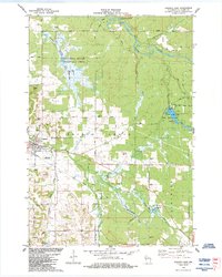 1984 Augusta East1984 Print · USGSAugusta and the surrounding Eau Claire County countryside are shown here in the mid-1980s as a landscape of managed wetlands and rural industry. Researchers can trace the Chicago and North Western Railroad Grade or locate the Forest View School and the Cranberry Bog.
 - 1984 Map of Osseo
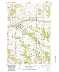 1984 Osseo1984 Print · USGSOsseo and the surrounding Wisconsin countryside are documented here in the mid-1980s as the regional hub for agricultural and river life. Genealogists and local historians can trace family locations near King Valley Ch, the South Valley Cem, and the small settlement of Requa.
 - 1984 Map of Augusta West
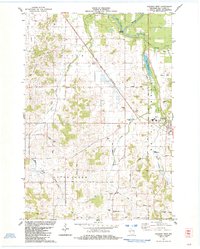 1984 Augusta West1984 Print · USGSThe rural outskirts of Augusta and the town of Rodell come into focus in the mid-1980s, showcasing a landscape defined by the Chicago and North Western rail line. Genealogists can trace family footprints near St Peters Ch, Thompson Valley Cem, and the old Plain View Sch.
 - 1984 Map of Price
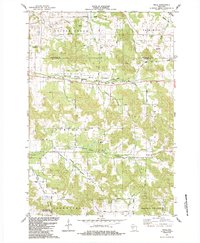 1984 Price1984 Print · USGSThe river valleys of Jackson County are shown in the mid-1980s, revealing a landscape shaped by rural conservation and timber-era transit. Researchers can find local landmarks like North Branch Cem, the Stephen Landing Strip, and the Old Railroad Grade.
 - 1984 Map of Marshfield, 1985 Print
 1984 Marshfield1985 Print · USGSCentral Wisconsin's dairy heartland comes into focus during the mid-eighties as a busy network of rail and farm towns. Researchers can trace the path of the Soo Line, identify the grounds of McMillan State Wildlife Area, and locate smaller settlements like Spokeville and Tioga.2 unique versions available
 - 1985 Map of Eau Claire
 1985 Eau Claire1985 Print · USGSWestern Wisconsin's river valleys and growing mid-century cities are captured here in the mid-eighties. Genealogists and historians can trace the paths of the Chicago and North Western railroad and locate rural landmarks like Dells Millpond and Nine Mile Island.2 unique versions available
 - 2010 Map of Horse Creek, 2010 Print
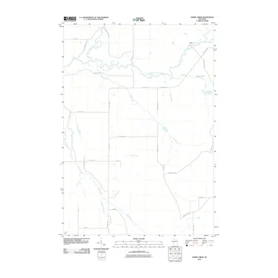 2010 Horse Creek2010 Print · USGSThe Eau Claire County river country is captured here during the first decade of the millennium. Local historians and genealogists can trace the rural network of creeks and forest roads, including the Koehler Ford crossing and the waters of Schoolhouse Creek.
 - 2010 Map of Simes Creek, 2010 Print
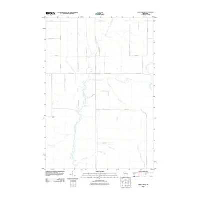 2010 Simes Creek2010 Print · USGSChippewa County remains a landscape of rivers and woodland roads during this early 21st-century survey. You can trace the waters of Hamilton Falls and locate the Wilson Lookout Tower amidst a grid of rural routes like Ritter Rd.
 - 2010 Map of Augusta West, 2010 Print
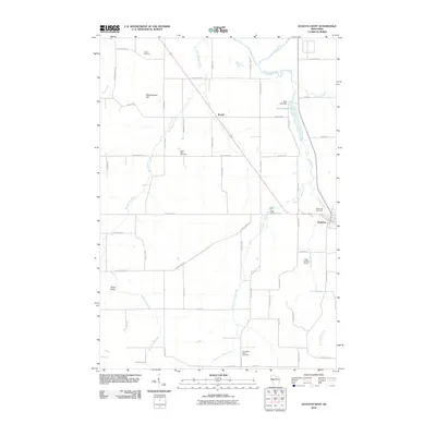 2010 Augusta West2010 Print · USGSWestern Eau Claire County is shown in the early twenty-first century as a landscape defined by its river confluences and rural crossroads. Genealogists and local historians can locate early burial sites like Saint Peter Cemetery or trace the waters of Bridge Creek near Rodell.
 - 2010 Map of Osseo, 2010 Print
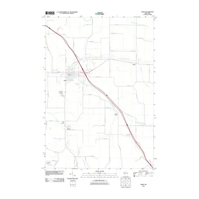 2010 Osseo2010 Print · USGSOsseo and its surrounding river valleys are captured here in the early twenty-first century as the North and South Forks of the Buffalo River converge. Genealogists and researchers can locate South Valley Cemetery, the settlement of Requa, and landmarks like Martha Lake 34.
 - 2010 Map of Lake Eau Claire East, 2010 Print
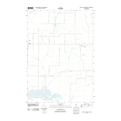 2010 Lake Eau Claire East2010 Print · USGSChippewa County is documented here in the early 2000s, showing a rural landscape defined by the Eau-Claire River. Genealogists and local historians can locate Ludington Cemetery and Saint Peter Cemetery near the communities of Ludington and Wilson.
Showing maps 1-25 of 60
Top cities near Bridge Creek
- Seymour historical maps
- Osseo historical maps
- Augusta historical maps
- Fall Creek historical maps
- Town of Lincoln historical maps
- Edson historical maps
See more
Top neighborhoods of Bridge Creek
Frequently asked questions
- What are the different types of historical maps available for Bridge Creek?
- What is the oldest map of Bridge Creek?
- Where can I purchase historical maps of Bridge Creek for my home or office?
- Where can I download high-res historical maps of Bridge Creek?
- Are there historical topographic maps available for Bridge Creek?
- Is there historical aerial imagery available for Bridge Creek?
- Where are historical maps of Bridge Creek sourced from?