Old Maps of Springvale, Wisconsin for Academic Research
Study the evolution of Springvale with 34 high-resolution historic maps. Whether you're teaching, researching, or modeling changes in land use, these maps provide essential visual documentation of urban, environmental, and geographic change.
- Analyze long-term change: Track patterns in development, transportation, and natural features.
- Ideal for environmental or urban studies: Support academic projects with primary historical map data.
- Use in the classroom or lab: Educators and researchers rely on these maps to bring historical context to life.
These maps are a powerful tool for teaching, research, and visualizing how Springvale has changed over the decades.
Springvale, WI maps
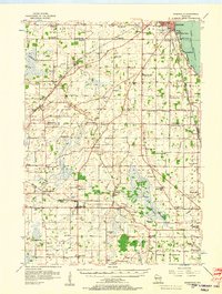
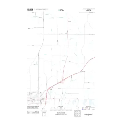
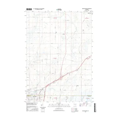
(34)- 1916 Map of Ripon
 1916 Ripon1916 Print · USGSWisconsin’s Fox River Valley and the lakelands of Fond du Lac and Winnebago counties are captured here just before the close of the Great War. Genealogists can trace family roots through dozens of rural landmarks, from Center House to Fera School and the Eureka Lock.
 - 1918 Map of Ripon
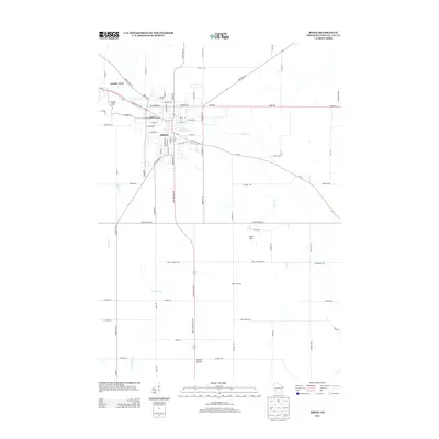
 1918 Ripon1918 Print · USGSFond du Lac and Green Lake counties are shown here at the end of the Great War, when the rail lines still dictated the pace of commerce. Researchers can trace the early boundaries of Berlin and Ripon or locate rural landmarks like the Arcade School and Koro.
 - 1955 Map of Waupun, 1957 Print
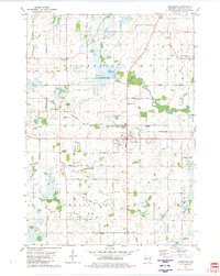
 1955 Waupun1957 Print · USGSIn the mid-1950s, the Dodge and Fond du Lac county border was defined by the massive wetland expanse of the Horicon Marsh. Genealogists and local historians can trace rural school locations like Cattaraugus Sch and the institutional grounds of the State Prison in Waupun.2 unique versions available
 - 1955 Map of Fox Lake, 1957 Print
 1955 Fox Lake1957 Print · USGSIn the mid-1950s, the Dodge and Green Lake County borderlands were defined by a high density of one-room schoolhouses and rail-dependent towns. Trace family roots at Tichora Cem or follow the old Milwaukee Road tracks through Markesan and Fox Lake Junction.
 - 1956 Map of Ripon, 1957 Print
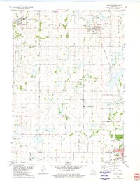
 1956 Ripon1957 Print · USGSRipon and the surrounding Wisconsin lakelands are shown in the mid-fifties as the region's rail and agricultural patterns remained firmly intact. Researchers can locate numerous rural schoolhouses like Prairie Lawn Sch and trace the legacy of Ripon College or the historic settlement of Sacramento.
 - 1956 Map of Rosendale, 1957 Print
 1956 Rosendale1957 Print · USGSWisconsin's farm country meets the shores of Lake Winnebago in the mid-fifties, just as the rural schoolhouse era was fading. Researchers can trace dozens of local landmarks like Paukotuk, Woodhull (Station), and several abandoned sites like Knott Sch.2 unique versions available
 - 1957 Map of Madison, 1967 Print
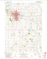
 1957 Madison1967 Print · USGSSouth-central Wisconsin in the mid-fifties reveals a landscape of industrial hubs and glacial lakes linked by a dense rail and highway network. Genealogists and historians can trace the development of lakeside communities and find notable sites like Badger Ordnance Works and the Horicon National Wildlife Refuge.3 unique versions available
 - 1960 Map of Madison
 1960 Madison1960 Print · USGSCentral and Southern Wisconsin are captured in the late fifties, showing the region as its rail-and-river network matured. Trace the paths of the Soo Line RR or locate family roots near Lake Mendota and Horicon National Wildlife Refuge.2 unique versions available
 - 1975 Map of Waupun NW, 1977 Print
 1975 Waupun NW1977 Print · USGSThe northern outskirts of Waupun and the surrounding dairy lands are captured here in the mid-seventies. Researchers can examine the detailed rural landscape around the settlement of Ladoga and the marshy fringes of the Horicon National Wildlife Refuge.
 - 1980 Map of Fond Du Lac
 1980 Fond Du Lac1980 Print · USGSThe Fox River Valley and Horicon Marsh meet here during the late twentieth century, showing a transition from lakeside industry to glacial conservation. Genealogists can locate family sites at Estabrook Cem or trace the rail lines through Ripon and Waupun.
 - 1980 Map of Brandon, 1981 Print
 1980 Brandon1981 Print · USGSBrandon and its surrounding townships are shown here in the late seventies, a landscape shaped by the headwaters of the Rock River and the local rail line. Genealogists can locate several rural burial grounds including Union Prairie Cem and Wood Cem near Fairwater.
 - 1980 Map of Waupun North, 1981 Print
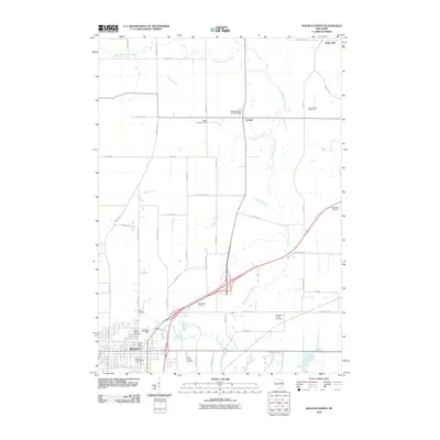
 1980 Waupun North1981 Print · USGSThe city of Waupun and its surrounding townships are shown here in the early eighties, just as the local rail and prison systems remained central to the town's identity. Researchers can trace family roots through numerous sites like Cattaraugus Cem, Amity Sch, and the State Prison Farm.
 - 1980 Map of Ripon, 1981 Print
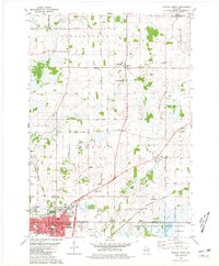
 1980 Ripon1981 Print · USGSRipon and its surrounding townships show a thriving college town and agricultural landscape in the late 1970s. Researchers can trace historic rail corridors and local landmarks like Ripon College, Gothic Millpond, and the rural settlement of Reeds Corners.
 - 1980 Map of Rosendale, 1981 Print
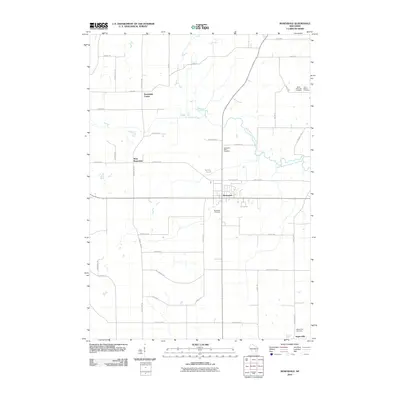
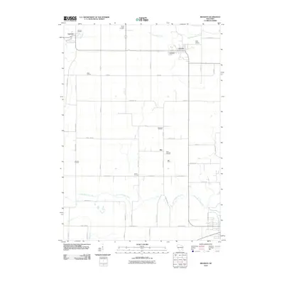
 1980 Rosendale1981 Print · USGSThe village of Rosendale and the surrounding townships of Springvale and Lamartine are captured in the late 1970s. Trace local history at St Marys Ch, the Laconia High Sch, or along the Chicago and North Western railroad.
 - 2010 Map of Waupun North, 2010 Print
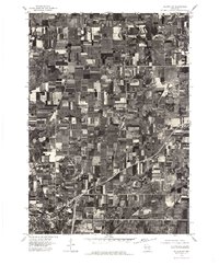
 2010 Waupun North2010 Print · USGSCovers Springvale, including Waupun, Lamartine, and other nearby areas
 - 2010 Map of Rosendale, 2010 Print
 2010 Rosendale2010 Print · USGSCovers Springvale, including Lamartine, Rosendale, and other nearby areas
 - 2010 Map of Brandon, 2010 Print
 2010 Brandon2010 Print · USGSCovers Springvale, including Waupun, Alto, and other nearby areas
 - 2010 Map of Ripon, 2010 Print
 2010 Ripon2010 Print · USGSCovers Springvale, including Ripon, Arcade Acres, and other nearby areas
 - 2013 Map of Rosendale, 2013 Print
 2013 Rosendale2013 Print · USGSCovers Springvale, including Lamartine, Rosendale, and other nearby areas
 - 2013 Map of Brandon, 2013 Print
 2013 Brandon2013 Print · USGSCovers Springvale, including Waupun, Alto, and other nearby areas
 - 2013 Map of Waupun North, 2013 Print
 2013 Waupun North2013 Print · USGSCovers Springvale, including Waupun, Lamartine, and other nearby areas
 - 2013 Map of Ripon, 2013 Print
 2013 Ripon2013 Print · USGSCovers Springvale, including Ripon, Arcade Acres, and other nearby areas
 - 2015 Map of Ripon, 2015 Print
 2015 Ripon2015 Print · USGSCovers Springvale, including Ripon, Arcade Acres, and other nearby areas
 - 2015 Map of Rosendale, 2015 Print
 2015 Rosendale2015 Print · USGSCovers Springvale, including Lamartine, Rosendale, and other nearby areas
 - 2015 Map of Waupun North, 2015 Print
 2015 Waupun North2015 Print · USGSCovers Springvale, including Waupun, Lamartine, and other nearby areas
Showing maps 1-25 of 34
Top cities near Springvale
- Oshkosh historical maps
- Fond du Lac historical maps
- Ripon historical maps
- City of Berlin historical maps
- North Fond du Lac historical maps
- Waupun historical maps
See more
Top neighborhoods of Springvale
Frequently asked questions
- What are the different types of historical maps available for Springvale?
- What is the oldest map of Springvale?
- Where can I purchase historical maps of Springvale for my home or office?
- Where can I download high-res historical maps of Springvale?
- Are there historical topographic maps available for Springvale?
- Is there historical aerial imagery available for Springvale?
- Where are historical maps of Springvale sourced from?