Old Maps of Platteville, Wisconsin for Academic Research
Study the evolution of Platteville with 33 high-resolution historic maps. Whether you're teaching, researching, or modeling changes in land use, these maps provide essential visual documentation of urban, environmental, and geographic change.
- Analyze long-term change: Track patterns in development, transportation, and natural features.
- Ideal for environmental or urban studies: Support academic projects with primary historical map data.
- Use in the classroom or lab: Educators and researchers rely on these maps to bring historical context to life.
These maps are a powerful tool for teaching, research, and visualizing how Platteville has changed over the decades.
Platteville, WI maps
(33)- 1900 Map of Lancaster
 1900 Lancaster1900 Print · USGSGrant County and the Mississippi River bluffs are captured at the close of the nineteenth century, showing a landscape of river towns and ridge-top farms. Researchers can trace the early rail corridors and vanished river landings from Cassville and Potosi to the county seat at Lancaster.
 - 1902 Map of Mineral Point
 1902 Mineral Point1902 Print · USGSSouthwest Wisconsin and Northern Illinois are mapped here at the height of the regional mining era. Genealogists and historians can trace the rail lines of the Illinois Central to vanished junctions and local landmarks like Meekers Grove, Calamine, and Elk Grove.4 unique versions available
 - 1904 Map of Lancaster, 1953 Print
 1904 Lancaster1953 Print · USGSSouthwest Wisconsin and its neighboring river lands are shown at the turn of the century as railroads began to dominate the ridge tops. Researchers can trace the development of the river-and-rail economy through sites like Spechts Ferry, Sinsinawa Mound, and Lancaster.
 - 1908 Map of Lancaster
 1908 Lancaster1908 Print · USGSGrant County and the Mississippi River border appear in the first decade of the twentieth century, when river crossings and new rail lines defined local commerce. Researchers can trace the landings at Spechts Ferry and Mc Cartney or locate early settlements like British Hollow and Beetown.5 unique versions available
 - 1952 Map of Platteville, 1954 Print
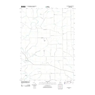
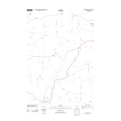
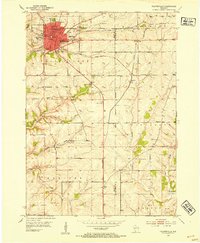 1952 Platteville1954 Print · USGSIn the early fifties, the mining and academic life of Southwest Wisconsin converged at the junction of two major railroads. Genealogists and historians can locate rural landmarks like the Old Elk Grove Cem, the remote Woodchuck Sch, and numerous extraction sites such as Acme Mine.2 unique versions available
 - 1952 Map of Rewey, 1954 Print
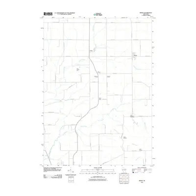
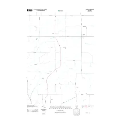
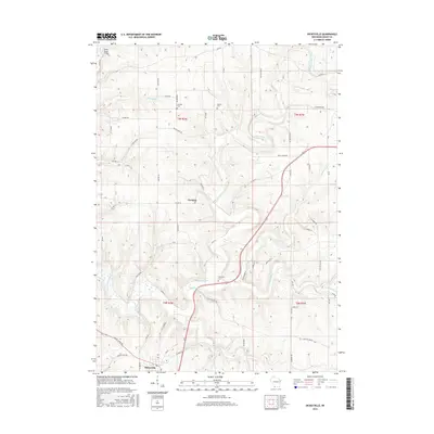
 1952 Rewey1954 Print · USGSRewey and the surrounding dairy country of Iowa, Grant, and Lafayette counties are shown here in the early fifties during a period of transition. Genealogists can locate several family-named burial sites like McReynolds Cem and rural schoolhouses including Hazel Dell Sch and Sunny Dale Sch.3 unique versions available
 - 1959 Map of Dubuque, 1982 Print
 1959 Dubuque1982 Print · USGSThe Tri-State region comes alive in the mid-twentieth century as a hub of river commerce and rail transit. Genealogists and historians can trace the paths of the Illinois Central Gulf through Dubuque or locate the Savanna Ordnance Depot and Lock and Dam No 11.
 - 1961 Map of Dubuque
 1961 Dubuque1961 Print · USGSThe Tri-State region's river-and-rail landscape is captured here during the early sixties, showing the convergence of Iowa, Illinois, and Wisconsin. Trace mid-century rail lines like the Chicago Great Western Ry and explore sites like the Savanna Ordnance Depot and Backbone State Park.
 - 1961 Map of Dickeyville, 1962 Print
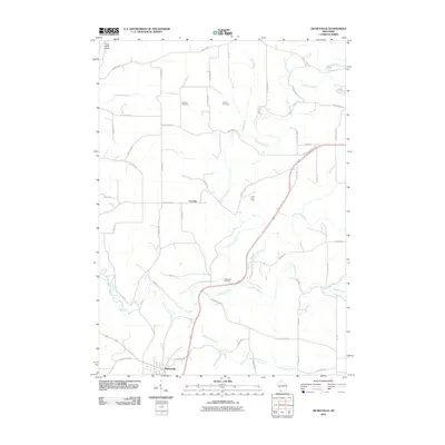
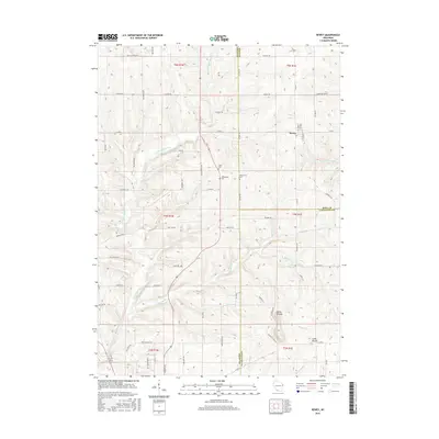
 1961 Dickeyville1962 Print · USGSGrant County's rolling farmland and deep river valleys are captured here in the early sixties. Researchers can trace rural life through landmarks like the Little Grant Mine, family-named cemeteries such as Kaump Cem, and local schoolhouses like Maple Glen Sch.3 unique versions available
 - 1962 Map of Dubuque
 1962 Dubuque1962 Print · USGSThe Tri-State region's river-and-rail economy is captured here in the early sixties, centered on the Mississippi River bluffs. Genealogists and historians can locate Numerous lead and zinc mines, the New Melleray Abbey Monastery, and rural hubs like Saint Olaf.2 unique versions available
 - 1962 Map of Ellenboro, 1964 Print
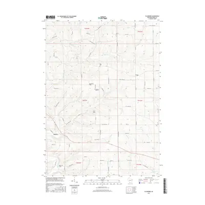
 1962 Ellenboro1964 Print · USGSGrant County's rural landscape is captured here in the early sixties, showing the intricate network of ridge-top farms and valley settlements. Genealogists can trace family footprints across several burial sites and rural institutions, including Whig Cem, Union Sch, and the riverside community of Ellenboro.2 unique versions available
 - 1976 Map of Dubuque
 1976 Dubuque1976 Print · USGSThe tri-state borderlands of Iowa, Wisconsin, and Illinois come alive during the mid-seventies, showing a region built on river commerce and mining. Genealogists and historians can trace the paths of the Illinois Central railroad or locate heritage sites like the New Melleray Abbey Monastery and Backbone State Park.
 - 1984 Map of Dubuque North, 1985 Print
 1984 Dubuque North1985 Print · USGSThis Tri-State region was a hub of Midwestern mining and river commerce in the mid-eighties. Researchers can trace the legacy of the Lead District through specific sites like Annie Mine or locate early civic centers such as First Capitol State Park.2 unique versions available
 - 2010 Map of Rewey, 2010 Print
 2010 Rewey2010 Print · USGSCovers Platteville, including Mifflin, Rewey, and other nearby areas
 - 2010 Map of Ellenboro, 2010 Print
 2010 Ellenboro2010 Print · USGSCovers Platteville, including Ellenboro, Harrison, and other nearby areas
 - 2010 Map of Dickeyville, 2010 Print
 2010 Dickeyville2010 Print · USGSCovers Platteville, including Dickeyville, Paris, and other nearby areas
 - 2010 Map of Platteville, 2010 Print
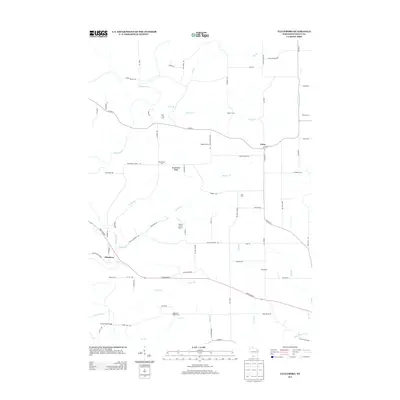
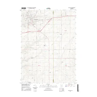
 2010 Platteville2010 Print · USGSCovers Platteville, including Elk Grove, Elmo, and other nearby areas
 - 2013 Map of Dickeyville, 2013 Print
 2013 Dickeyville2013 Print · USGSCovers Platteville, including Dickeyville, Paris, and other nearby areas
 - 2013 Map of Ellenboro, 2013 Print
 2013 Ellenboro2013 Print · USGSCovers Platteville, including Ellenboro, Harrison, and other nearby areas
 - 2013 Map of Rewey, 2013 Print
 2013 Rewey2013 Print · USGSCovers Platteville, including Mifflin, Rewey, and other nearby areas
 - 2013 Map of Platteville, 2013 Print
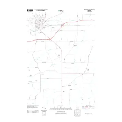 2013 Platteville2013 Print · USGSCovers Platteville, including Elk Grove, Elmo, and other nearby areas
 - 2016 Map of Platteville, 2016 Print
 2016 Platteville2016 Print · USGSCovers Platteville, including Elk Grove, Elmo, and other nearby areas
 - 2016 Map of Ellenboro, 2016 Print
 2016 Ellenboro2016 Print · USGSCovers Platteville, including Ellenboro, Harrison, and other nearby areas
 - 2016 Map of Dickeyville, 2016 Print
 2016 Dickeyville2016 Print · USGSCovers Platteville, including Dickeyville, Paris, and other nearby areas
 - 2016 Map of Rewey, 2016 Print
 2016 Rewey2016 Print · USGSCovers Platteville, including Mifflin, Rewey, and other nearby areas
Showing maps 1-25 of 33
Top cities near Platteville
- Dubuque historical maps
- Platteville historical maps
- Lancaster historical maps
- Jamestown historical maps
- East Dubuque historical maps
- Cuba City historical maps
See more
Frequently asked questions
- What are the different types of historical maps available for Platteville?
- What is the oldest map of Platteville?
- Where can I purchase historical maps of Platteville for my home or office?
- Where can I download high-res historical maps of Platteville?
- Are there historical topographic maps available for Platteville?
- Is there historical aerial imagery available for Platteville?
- Where are historical maps of Platteville sourced from?