Old Maps of Estates of Lawsonia, Brooklyn for Hiking & Exploration
Hike through history with 15 historic maps of Estates of Lawsonia. Explore old trails, ghost towns, and forgotten backroads — perfect for outdoor adventurers and local explorers.
- Rediscover forgotten places: Map out old mining camps, roads, and footpaths that no longer exist on modern maps.
- Layer with modern tools: Combine with LiDAR or satellite views to plan hikes through historical terrain.
- Made for exploration: Popular among hikers, overlanders, and local history lovers.
Use these maps to find adventure and explore the hidden past of Estates of Lawsonia.
Estates of Lawsonia, Brooklyn maps
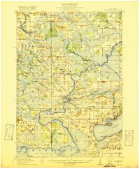
(15)- 1915 Map of Neshkoro
 1915 Neshkoro1915 Print · USGSCovers Estates of Lawsonia, including Princeton, Marquette, and other nearby areas
 - 1916 Map of Ripon
 1916 Ripon1916 Print · USGSCovers Estates of Lawsonia, including Ripon, Berlin, and other nearby areas
 - 1918 Map of Neshkoro
 1918 Neshkoro1918 Print · USGSCovers Estates of Lawsonia, including Princeton, Marquette, and other nearby areas3 unique versions available
 - 1918 Map of Ripon
 1918 Ripon1918 Print · USGSCovers Estates of Lawsonia, including Ripon, Berlin, and other nearby areas
 - 1956 Map of Ripon, 1957 Print
 1956 Ripon1957 Print · USGSCovers Estates of Lawsonia, including Ripon, Berlin, and other nearby areas
 - 1957 Map of Madison, 1967 Print
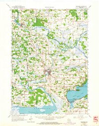
 1957 Madison1967 Print · USGSCovers Estates of Lawsonia, including Milwaukee, Madison, and other nearby areas3 unique versions available
 - 1960 Map of Madison
 1960 Madison1960 Print · USGSCovers Estates of Lawsonia, including Milwaukee, Madison, and other nearby areas2 unique versions available
 - 1963 Map of Neshkoro, 1964 Print
 1963 Neshkoro1964 Print · USGSCovers Estates of Lawsonia, including Princeton, Marquette, and other nearby areas2 unique versions available
 - 1980 Map of Fond Du Lac
 1980 Fond Du Lac1980 Print · USGSCovers Estates of Lawsonia, including Oshkosh, Fond du Lac, and other nearby areas
 - 1980 Map of Green Lake, 1981 Print
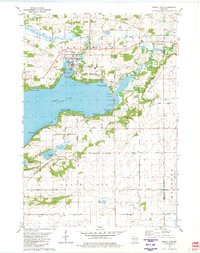 1980 Green Lake1981 Print · USGSCovers Estates of Lawsonia, including Green Lake, City of Green Lake, and other nearby areas
 - 1984 Map of Princeton East
 1984 Princeton East1984 Print · USGSCovers Estates of Lawsonia, including Princeton, Marquette, and other nearby areas
 - 1985 Map of Wisconsin Dells
 1985 Wisconsin Dells1985 Print · USGSCovers Estates of Lawsonia, including Portage, Reedsburg, and other nearby areas
 - 1990 Map of Wisconsin Dells, 1991 Print
 1990 Wisconsin Dells1991 Print · USGSCovers Estates of Lawsonia, including Portage, Reedsburg, and other nearby areas
 - 2022 Map of Green Lake, 2022 Print
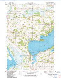
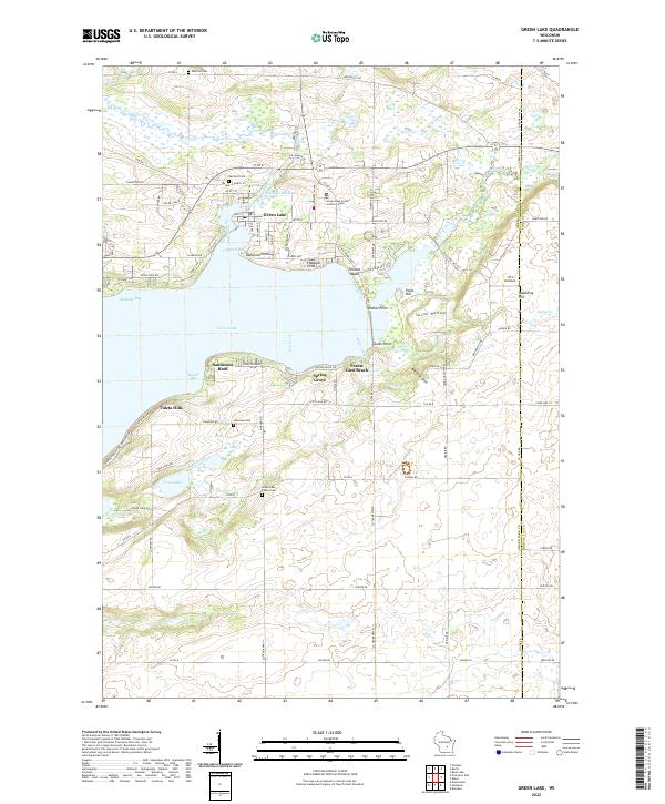 2022 Green Lake2022 Print · USGSCovers Estates of Lawsonia, including Green Lake, City of Green Lake, and other nearby areas
 - 2022 Map of Princeton East, 2022 Print
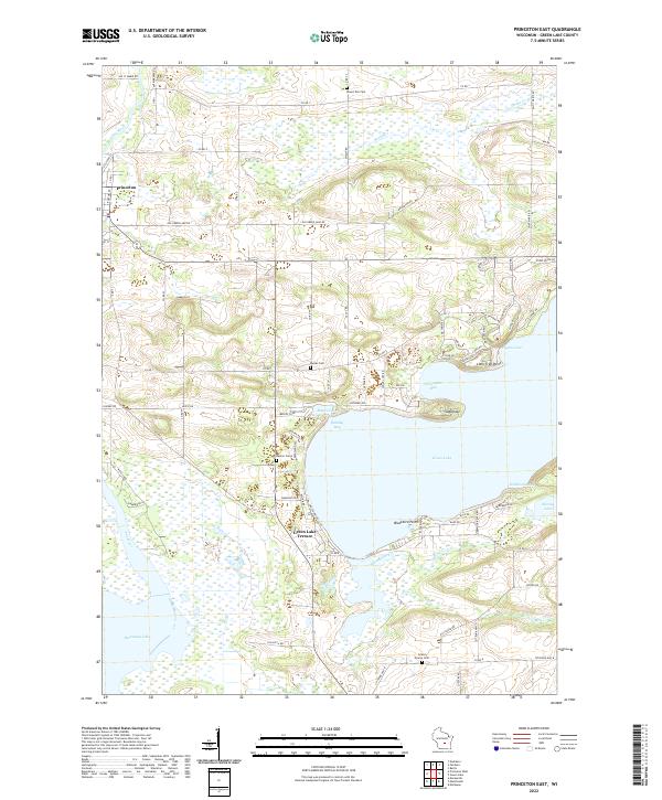 2022 Princeton East2022 Print · USGSCovers Estates of Lawsonia, including Princeton, Marquette, and other nearby areas
End of results
Showing maps 1-15 of 15
Frequently asked questions
- What are the different types of historical maps available for Estates of Lawsonia?
- What is the oldest map of Estates of Lawsonia?
- Where can I purchase historical maps of Estates of Lawsonia for my home or office?
- Where can I download high-res historical maps of Estates of Lawsonia?
- Are there historical topographic maps available for Estates of Lawsonia?
- Is there historical aerial imagery available for Estates of Lawsonia?
- Where are historical maps of Estates of Lawsonia sourced from?