Old Maps of Pleasant Point, Wisconsin for Genealogy
Trace your family roots with 12 historic maps of Pleasant Point. These high-res maps reveal old neighborhoods, homesites, landmarks, and streets — helping you uncover where your ancestors lived and how the area evolved over time.
- Explore historic neighborhoods: Identify where your relatives may have lived in the 1800s or 1900s.
- Compare maps over time: Trace the changes in streets, buildings, and landmarks for multi-generational research.
- Perfect for genealogy & ancestry research: Used by family historians and researchers to map out lineage and migration.
These maps are an incredible resource for exploring your personal connection to Pleasant Point's past.
Pleasant Point, WI maps
(12)- 1916 Map of Ripon
 1916 Ripon1916 Print · USGSWisconsin’s Fox River Valley and the lakelands of Fond du Lac and Winnebago counties are captured here just before the close of the Great War. Genealogists can trace family roots through dozens of rural landmarks, from Center House to Fera School and the Eureka Lock.
 - 1918 Map of Ripon
 1918 Ripon1918 Print · USGSFond du Lac and Green Lake counties are shown here at the end of the Great War, when the rail lines still dictated the pace of commerce. Researchers can trace the early boundaries of Berlin and Ripon or locate rural landmarks like the Arcade School and Koro.
 - 1956 Map of Ripon, 1957 Print
 1956 Ripon1957 Print · USGSRipon and the surrounding Wisconsin lakelands are shown in the mid-fifties as the region's rail and agricultural patterns remained firmly intact. Researchers can locate numerous rural schoolhouses like Prairie Lawn Sch and trace the legacy of Ripon College or the historic settlement of Sacramento.
 - 1957 Map of Madison, 1967 Print
 1957 Madison1967 Print · USGSSouth-central Wisconsin in the mid-fifties reveals a landscape of industrial hubs and glacial lakes linked by a dense rail and highway network. Genealogists and historians can trace the development of lakeside communities and find notable sites like Badger Ordnance Works and the Horicon National Wildlife Refuge.3 unique versions available
 - 1960 Map of Madison
 1960 Madison1960 Print · USGSCentral and Southern Wisconsin are captured in the late fifties, showing the region as its rail-and-river network matured. Trace the paths of the Soo Line RR or locate family roots near Lake Mendota and Horicon National Wildlife Refuge.2 unique versions available
 - 1980 Map of Fond Du Lac
 1980 Fond Du Lac1980 Print · USGSThe Fox River Valley and Horicon Marsh meet here during the late twentieth century, showing a transition from lakeside industry to glacial conservation. Genealogists can locate family sites at Estabrook Cem or trace the rail lines through Ripon and Waupun.
 - 1980 Map of Green Lake, 1981 Print
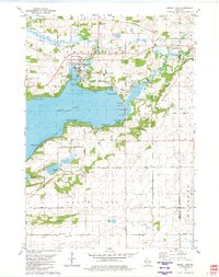 1980 Green Lake1981 Print · USGSGreen Lake at the start of the eighties shows a thriving waterfront community defined by its deep bays and emerging residential pockets. Genealogists and local historians can trace legacy sites like Dartford Cem, Center House, and the sprawling Fairground.
 - 2010 Map of Green Lake, 2010 Print
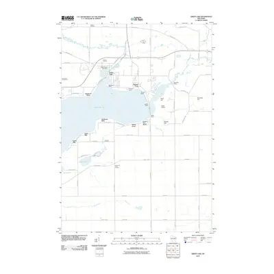 2010 Green Lake2010 Print · USGSCovers Pleasant Point, including Green Lake, City of Green Lake, and other nearby areas
 - 2013 Map of Green Lake, 2013 Print
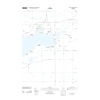 2013 Green Lake2013 Print · USGSCovers Pleasant Point, including Green Lake, City of Green Lake, and other nearby areas
 - 2015 Map of Green Lake, 2015 Print
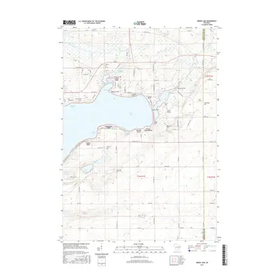 2015 Green Lake2015 Print · USGSCovers Pleasant Point, including Green Lake, City of Green Lake, and other nearby areas
 - 2018 Map of Green Lake, 2018 Print
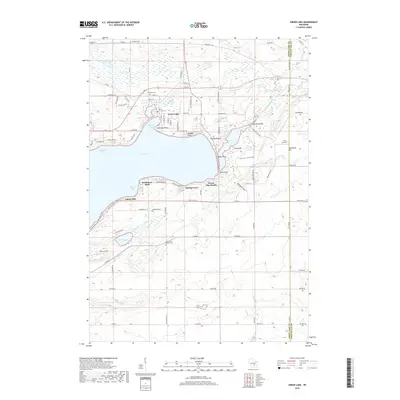 2018 Green Lake2018 Print · USGSCovers Pleasant Point, including Green Lake, City of Green Lake, and other nearby areas
 - 2022 Map of Green Lake, 2022 Print
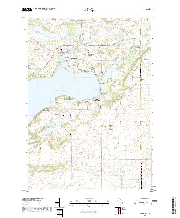 2022 Green Lake2022 Print · USGSThe glacial waters of Green Lake and its surrounding communities are documented here in the early twenty-first century. Researchers can trace family sites at Dartford Cem or Green Lake Center Cem and locate landmarks from Sandstone Bluff to Skunk Hollow.
End of results
Showing maps 1-12 of 12
Top cities near Pleasant Point
- Ripon historical maps
- Berlin historical maps
- City of Berlin historical maps
- Omro historical maps
- Waupun historical maps
- Redgranite historical maps
See more
Frequently asked questions
- What are the different types of historical maps available for Pleasant Point?
- What is the oldest map of Pleasant Point?
- Where can I purchase historical maps of Pleasant Point for my home or office?
- Where can I download high-res historical maps of Pleasant Point?
- Are there historical topographic maps available for Pleasant Point?
- Is there historical aerial imagery available for Pleasant Point?
- Where are historical maps of Pleasant Point sourced from?