Old Maps of Green Lake, Wisconsin for Academic Research
Study the evolution of Green Lake with 37 high-resolution historic maps. Whether you're teaching, researching, or modeling changes in land use, these maps provide essential visual documentation of urban, environmental, and geographic change.
- Analyze long-term change: Track patterns in development, transportation, and natural features.
- Ideal for environmental or urban studies: Support academic projects with primary historical map data.
- Use in the classroom or lab: Educators and researchers rely on these maps to bring historical context to life.
These maps are a powerful tool for teaching, research, and visualizing how Green Lake has changed over the decades.
Green Lake, WI maps
(37)- 1915 Map of Neshkoro
 1915 Neshkoro1915 Print · USGSCentral Wisconsin at the height of the river-and-rail era shows a network of locks and rural schoolhouses. Trace the early layouts of Princeton and Neshkoro, or locate landmarks like White River Lock and Puckaway Lake.
 - 1916 Map of Ripon
 1916 Ripon1916 Print · USGSWisconsin’s Fox River Valley and the lakelands of Fond du Lac and Winnebago counties are captured here just before the close of the Great War. Genealogists can trace family roots through dozens of rural landmarks, from Center House to Fera School and the Eureka Lock.
 - 1918 Map of Neshkoro
 1918 Neshkoro1918 Print · USGSThe Fox River valley and its complex lock system are recorded here during a period of active river and rail commerce. Genealogists can locate numerous rural schoolhouses and vanished rail stops near Princeton, Neshkoro, and the White River Lock.3 unique versions available
 - 1918 Map of Ripon
 1918 Ripon1918 Print · USGSFond du Lac and Green Lake counties are shown here at the end of the Great War, when the rail lines still dictated the pace of commerce. Researchers can trace the early boundaries of Berlin and Ripon or locate rural landmarks like the Arcade School and Koro.
 - 1955 Map of Randolph, 1956 Print
 1955 Randolph1956 Print · USGSDodge and Columbia counties are seen here in the mid-fifties, dominated by prairie farming and the rail lines connecting towns like Friesland and Cambria. Researchers can trace the heritage of rural education and faith through sites like Penrhos Sch and Rosedale Ch.2 unique versions available
 - 1955 Map of Fox Lake, 1957 Print
 1955 Fox Lake1957 Print · USGSIn the mid-1950s, the Dodge and Green Lake County borderlands were defined by a high density of one-room schoolhouses and rail-dependent towns. Trace family roots at Tichora Cem or follow the old Milwaukee Road tracks through Markesan and Fox Lake Junction.
 - 1956 Map of Ripon, 1957 Print
 1956 Ripon1957 Print · USGSRipon and the surrounding Wisconsin lakelands are shown in the mid-fifties as the region's rail and agricultural patterns remained firmly intact. Researchers can locate numerous rural schoolhouses like Prairie Lawn Sch and trace the legacy of Ripon College or the historic settlement of Sacramento.
 - 1957 Map of Madison, 1967 Print
 1957 Madison1967 Print · USGSSouth-central Wisconsin in the mid-fifties reveals a landscape of industrial hubs and glacial lakes linked by a dense rail and highway network. Genealogists and historians can trace the development of lakeside communities and find notable sites like Badger Ordnance Works and the Horicon National Wildlife Refuge.3 unique versions available
 - 1960 Map of Madison
 1960 Madison1960 Print · USGSCentral and Southern Wisconsin are captured in the late fifties, showing the region as its rail-and-river network matured. Trace the paths of the Soo Line RR or locate family roots near Lake Mendota and Horicon National Wildlife Refuge.2 unique versions available
 - 1963 Map of Neshkoro, 1964 Print
 1963 Neshkoro1964 Print · USGSCentral Wisconsin's river valleys and lakefronts are shown here in the early sixties, as the rail and water networks still shaped local life. Genealogists and historians can locate rural landmarks like St Johns Cem, the Rabbitt Sch, and the Bed-ah-Wick Landing Field.2 unique versions available
 - 1980 Map of Fond Du Lac
 1980 Fond Du Lac1980 Print · USGSThe Fox River Valley and Horicon Marsh meet here during the late twentieth century, showing a transition from lakeside industry to glacial conservation. Genealogists can locate family sites at Estabrook Cem or trace the rail lines through Ripon and Waupun.
 - 1980 Map of Manchester, 1981 Print
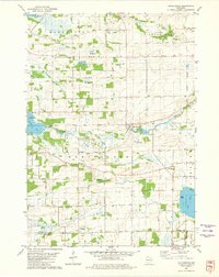 1980 Manchester1981 Print · USGSGreen Lake and Marquette counties are captured here in the early eighties, showing a landscape of river-fed lakes and established farmsteads. Genealogists can trace local roots at Phelps Cem or Williams Cem, while following the Old Indian Treaty Boundary and historic Grand River crossings.
 - 1980 Map of Green Lake, 1981 Print
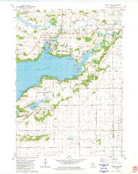 1980 Green Lake1981 Print · USGSGreen Lake at the start of the eighties shows a thriving waterfront community defined by its deep bays and emerging residential pockets. Genealogists and local historians can trace legacy sites like Dartford Cem, Center House, and the sprawling Fairground.
 - 1980 Map of Markesan, 1981 Print
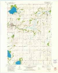 1980 Markesan1981 Print · USGSMarkesan and the surrounding Mackford township are shown in the early 1980s as the rail and river landscape evolved. You can locate family history markers like Memorial Cem, the Prairie View Sch, and the Utley quarry works.
 - 1984 Map of Princeton East
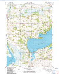 1984 Princeton East1984 Print · USGSGreen Lake and the Fox River valley are shown here in the 1980s, capturing a landscape of deep waters, wetlands, and small settlements. Researchers can trace the Old Railroad Grade, locate the Terrace Shores Ch, and find family sites at Mt Tom Cem or Dayton Cem.
 - 1985 Map of Wisconsin Dells
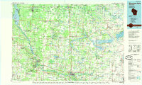 1985 Wisconsin Dells1985 Print · USGSCentral Wisconsin in the mid-eighties was a landscape of intricate river bends, rail junctions, and sprawling marshlands. Researchers can trace historic routes along the Soo Line or locate family landmarks near Lyndon Station, Buffalo Lake, and Puckaway Lake.
 - 1990 Map of Wisconsin Dells, 1991 Print
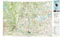 1990 Wisconsin Dells1991 Print · USGSCentral Wisconsin's river valleys and lake country are captured in detail here during the late twentieth century. Researchers can trace the rail-and-water geography connecting Wisconsin Dells and Portage with landmarks like Blackhawk Island and Buffalo Lake.
 - 2010 Map of Princeton East, 2010 Print
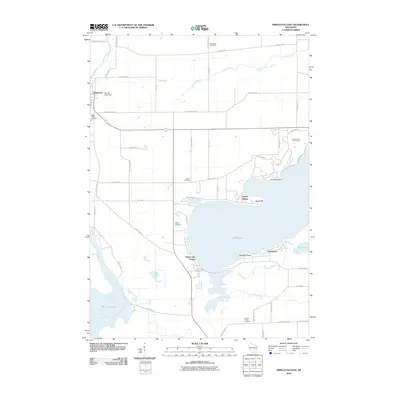 2010 Princeton East2010 Print · USGSThe Green Lake shoreline and Fox River wetlands come into focus in the early twenty-first century as recreation and rural life meet. Trace local genealogy and land use through Mount Tom Cemetery, the Golf Courses of Lawsonia, and the river landing at Wicks Lndg.
 - 2010 Map of Markesan, 2010 Print
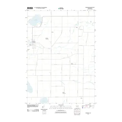 2010 Markesan2010 Print · USGSMarkesan and the surrounding Green Lake County countryside appear here in the early 21st century, showing a landscape of glacial lakes and small-town industry. Researchers can trace local lineage through Tichora Cemetery or locate landmarks like Utley Quarry and the Del Monte Corporation Landing Strip.
 - 2010 Map of Manchester, 2010 Print
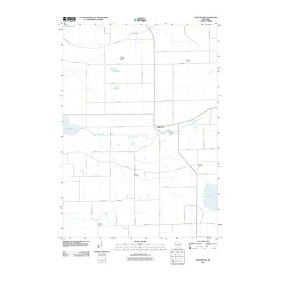 2010 Manchester2010 Print · USGSManchester and the surrounding wetlands of Green Lake County are captured here in the early twenty-first century. Genealogists can locate family burial sites like Phelps Cemetery or Williams Cemetery while tracing the winding courses of the Grand River and Fox River.
 - 2010 Map of Green Lake, 2010 Print
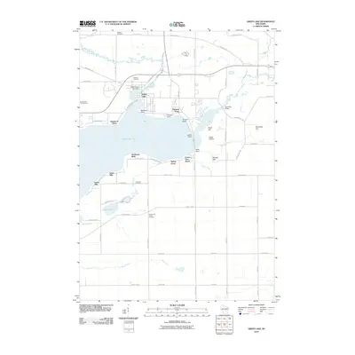 2010 Green Lake2010 Print · USGSGreen Lake and its surrounding shoreline communities are shown here at the start of the 2010s. Genealogists and local historians can trace family locations through several burial grounds like Bluffton Cemetery or landmarks like Sandstone Bluff and the Upper Green Lake Dam.
 - 2013 Map of Markesan, 2013 Print
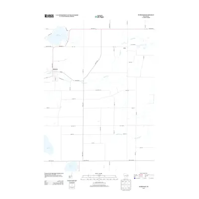 2013 Markesan2013 Print · USGSGreen Lake County is captured here in the early twenty-first century, showing the established rural patterns of south-central Wisconsin. Genealogists and researchers can trace local landmarks and industrial sites like the Utley Quarry, the village of Markesan, and the shores of Little Green Lake.
 - 2013 Map of Green Lake, 2013 Print
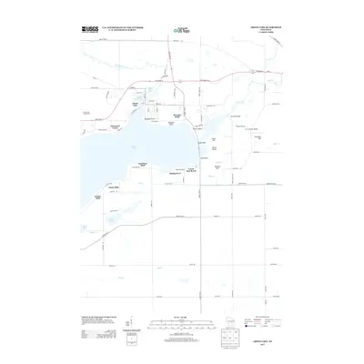 2013 Green Lake2013 Print · USGSGreen Lake County at the start of the 2010s reveals a specialized landscape of lakeside communities and rural Wisconsin aviation. Researchers can trace the development of established enclaves like Sherwood Forest and find local landmarks such as Mitchell Glen and the Puchyan Mill Race.
 - 2013 Map of Princeton East, 2013 Print
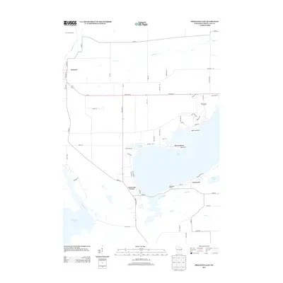 2013 Princeton East2013 Print · USGSGreen Lake County's recreational and residential landscape is captured here in the early twenty-first century. Genealogists and local historians can trace modern property lines and roads around Green Lake, from the Golf Courses of Lawsonia to the homes at Greenwyck.
 - 2013 Map of Manchester, 2013 Print
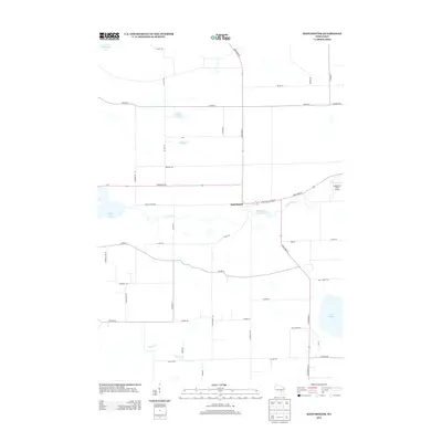 2013 Manchester2013 Print · USGSManchester and its surrounding Green Lake County farmlands are shown here in the early twenty-first century as a landscape of interconnected river systems. Researchers can trace the legacy of local industry at the Mill Pond (historical) or locate family landmarks along Phelps Rd and Yunker Rd.
Showing maps 1-25 of 37
Top cities near Green Lake
- Ripon historical maps
- Berlin historical maps
- City of Berlin historical maps
- Waupun historical maps
- Fox Lake historical maps
- Princeton historical maps
See more
Top neighborhoods of Green Lake
- Greenwyck historical maps
- Indian Hills historical maps
- Tuleta Hills historical maps
- Utley historical maps
- Center House historical maps
- Forest Glen Beach historical maps
See more
Frequently asked questions
- What are the different types of historical maps available for Green Lake?
- What is the oldest map of Green Lake?
- Where can I purchase historical maps of Green Lake for my home or office?
- Where can I download high-res historical maps of Green Lake?
- Are there historical topographic maps available for Green Lake?
- Is there historical aerial imagery available for Green Lake?
- Where are historical maps of Green Lake sourced from?