2000s (21st Century) Maps of Ridgeway, Wisconsin
Explore 20 historic maps of Ridgeway from the 2000s (21st Century). These maps offer a rare glimpse into what life looked like during the 2000s — showing old roads, neighborhoods, homes, and landmarks that have changed or disappeared over time.
Whether you're researching your family's past, planning a metal detecting trip, or studying how Ridgeway's landscape evolved across the 2000s, these high-resolution maps are a powerful tool for exploring the history of this region.
- Focus on a specific era: All maps on this page are from the 2000s, giving you a focused view of this time period.
- See what’s changed: Compare century-old streets, trails, and buildings to today's modern landscape using overlays and satellite layers.
- Research with precision: Use these maps for genealogy, historical research, land use analysis, or educational projects.
- View, download, or print: Maps are fully viewable online in high resolution, and can be downloaded or printed for your own records.
Start exploring Ridgeway's history through authentic maps from the 2000s. This is your window into the past.
Ridgeway, WI maps
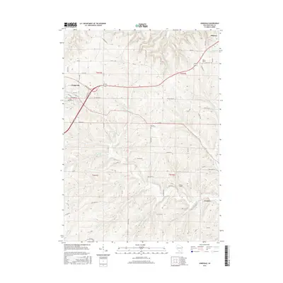
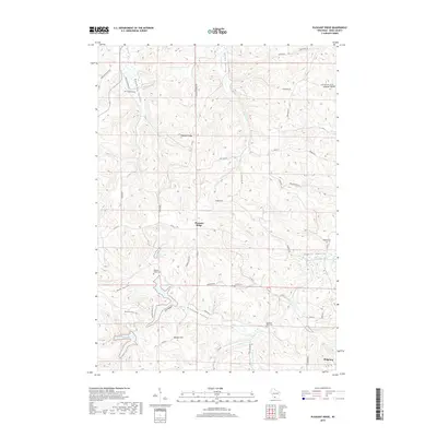
(20)- 2010 Map of Pleasant Ridge, 2010 Print
 2010 Pleasant Ridge2010 Print · USGSCovers Ridgeway, including Wyoming, Pleasant Ridge, and other nearby areas
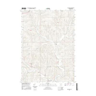
 - 2010 Map of Hollandale, 2010 Print
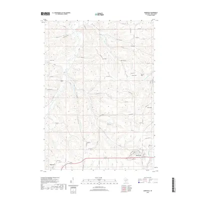
 2010 Hollandale2010 Print · USGSCovers Ridgeway, including Barneveld, Waldwick, and other nearby areas
 - 2010 Map of Jonesdale, 2010 Print
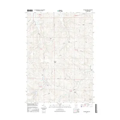
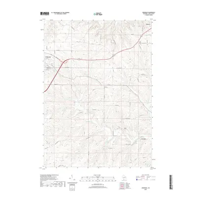
 2010 Jonesdale2010 Print · USGSCovers Ridgeway, including Dodgeville, Waldwick, and other nearby areas
 - 2010 Map of Barneveld, 2010 Print
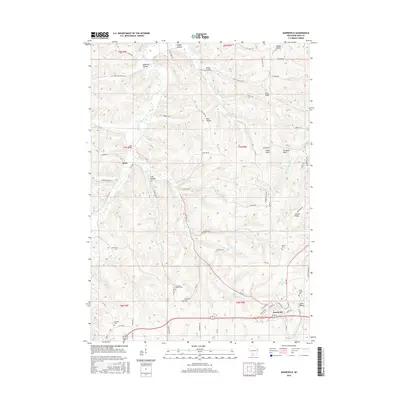
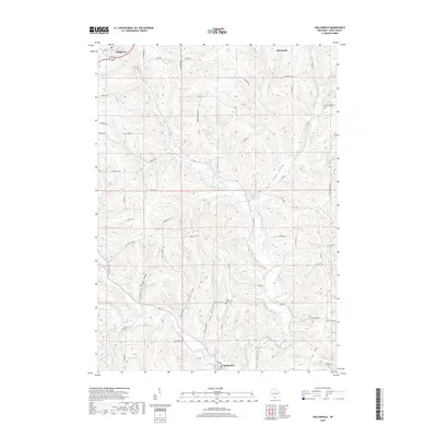
 2010 Barneveld2010 Print · USGSCovers Ridgeway, including Barneveld, Brigham, and other nearby areas
 - 2013 Map of Pleasant Ridge, 2013 Print
 2013 Pleasant Ridge2013 Print · USGSCovers Ridgeway, including Wyoming, Pleasant Ridge, and other nearby areas
 - 2013 Map of Hollandale, 2013 Print
 2013 Hollandale2013 Print · USGSCovers Ridgeway, including Barneveld, Waldwick, and other nearby areas
 - 2013 Map of Barneveld, 2013 Print
 2013 Barneveld2013 Print · USGSCovers Ridgeway, including Barneveld, Brigham, and other nearby areas
 - 2013 Map of Jonesdale, 2013 Print
 2013 Jonesdale2013 Print · USGSCovers Ridgeway, including Dodgeville, Waldwick, and other nearby areas
 - 2016 Map of Jonesdale, 2016 Print
 2016 Jonesdale2016 Print · USGSCovers Ridgeway, including Dodgeville, Waldwick, and other nearby areas
 - 2016 Map of Hollandale, 2016 Print
 2016 Hollandale2016 Print · USGSCovers Ridgeway, including Barneveld, Waldwick, and other nearby areas
 - 2016 Map of Barneveld, 2016 Print
 2016 Barneveld2016 Print · USGSCovers Ridgeway, including Barneveld, Brigham, and other nearby areas
 - 2016 Map of Pleasant Ridge, 2016 Print
 2016 Pleasant Ridge2016 Print · USGSCovers Ridgeway, including Wyoming, Pleasant Ridge, and other nearby areas
 - 2018 Map of Pleasant Ridge, 2018 Print
 2018 Pleasant Ridge2018 Print · USGSCovers Ridgeway, including Wyoming, Pleasant Ridge, and other nearby areas
 - 2018 Map of Barneveld, 2018 Print
 2018 Barneveld2018 Print · USGSCovers Ridgeway, including Barneveld, Brigham, and other nearby areas
 - 2018 Map of Jonesdale, 2018 Print
 2018 Jonesdale2018 Print · USGSCovers Ridgeway, including Dodgeville, Waldwick, and other nearby areas
 - 2018 Map of Hollandale, 2018 Print
 2018 Hollandale2018 Print · USGSCovers Ridgeway, including Barneveld, Waldwick, and other nearby areas
 - 2022 Map of Hollandale, 2022 Print
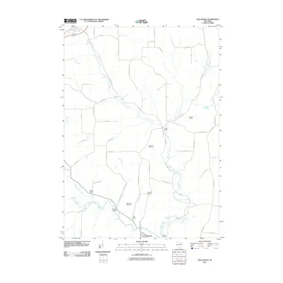
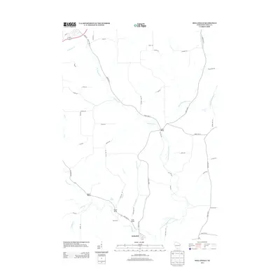
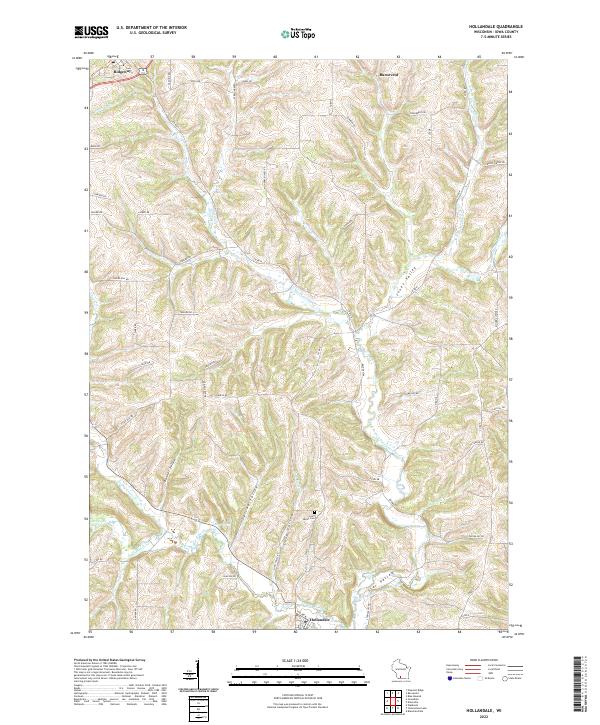 2022 Hollandale2022 Print · USGSWisconsin's river valleys and rural uplands are shown here as they appeared in the early 2020s. Genealogists and researchers can trace family roots near Hollandale or locate the Long Valley Cem along the banks of the East Branch Pecatonica River.
 - 2022 Map of Jonesdale, 2022 Print
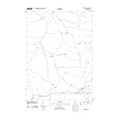
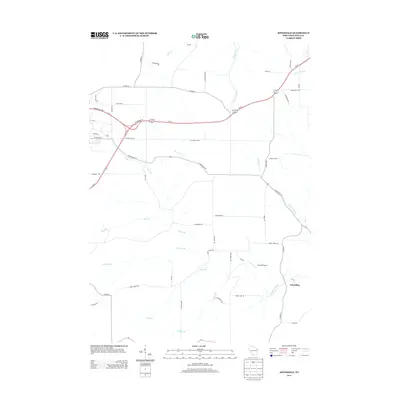
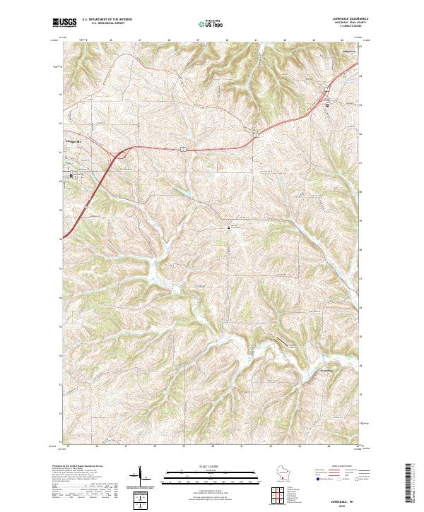 2022 Jonesdale2022 Print · USGSThe rolling hills of Iowa County are documented here in the early 2020s, showcasing the rural transition between Dodgeville and Ridgeway. Researchers can trace old family lands near Garrison Grove Cem, the path of the Military Ridge State Trl, and the small community of Jonesdale.
 - 2022 Map of Barneveld, 2022 Print
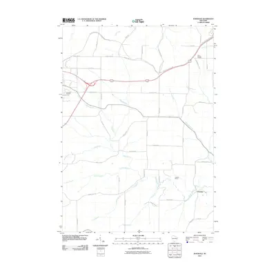
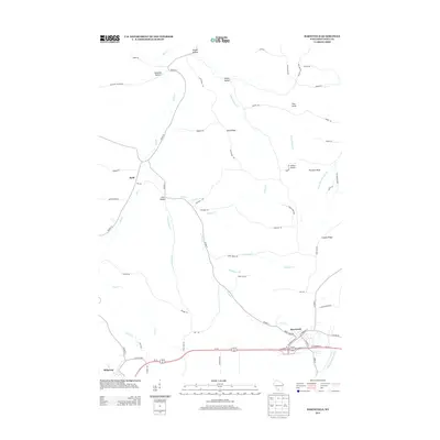
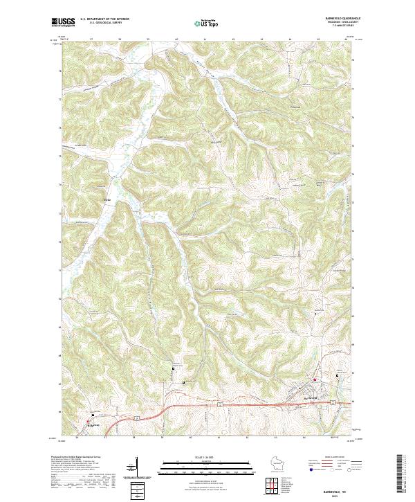 2022 Barneveld2022 Print · USGSIowa County in the early 2020s reflects a landscape of ridge-top settlements and deep-cut valleys. Researchers can trace the Military Ridge State Trl through Barneveld and Ridgeway, while locating rural sites like Jenneton Baptist Cem and Hyde.
 - 2022 Map of Pleasant Ridge, 2022 Print
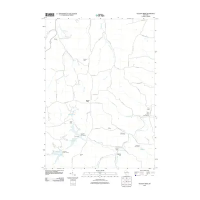
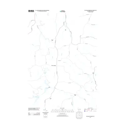
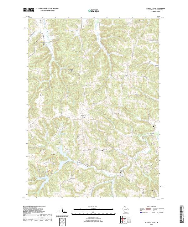 2022 Pleasant Ridge2022 Print · USGSThe Iowa County uplands appear in great detail during the early twenty-first century, showing the rural landscapes around Pleasant Ridge and Ridgeway. Researchers can trace local lineage at Rockwell Mills Cem or explore the water systems of Halverson Lake and Cox Hollow Lake.
End of results
Showing maps 1-20 of 20
Top cities near Ridgeway
- Dodgeville historical maps
- Mineral Point historical maps
- Spring Green historical maps
- Barneveld historical maps
- Town of Mazomanie historical maps
- Lone Rock historical maps
See more
Frequently asked questions
- What are the different types of historical maps available for Ridgeway?
- What is the oldest map of Ridgeway?
- Where can I purchase historical maps of Ridgeway for my home or office?
- Where can I download high-res historical maps of Ridgeway?
- Are there historical topographic maps available for Ridgeway?
- Is there historical aerial imagery available for Ridgeway?
- Where are historical maps of Ridgeway sourced from?