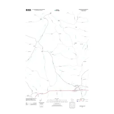
2013 Map of Barneveld
USGS Topo · Published 2013About this map
Barneveld and Ridgeway anchor the southern portion of this landscape, situated along the corridor formed by Us-18 151. The terrain is defined by a series of prominent ridges and drainages, notably Blue Ridge and the Coulee Ridge, which separate the various hollows that have shaped local settlement and agriculture. Numerous family-named landmarks such as Amacher Hollow, Knight Hollow, and White Hollow highlight the genealogy of the area, while the topography rises to distinct points like Pinnacle Bluff, Pine Knob, and the curiously named Indian Castle.
Find a feature on this map
69 named features on this map. Tap any name to fly to it.
Don’t see what you’re looking for? This feature index may not catch every label — zoom into the map to look around manually.
Map Details
Editions of this 2013 Barneveld Map
This is the sole edition of this map. No revisions or reprints were ever made.
Other maps of this area

1902 · Mineral Point
USGS Topo · 1:125,000

1905 · Richland Center
USGS Topo · 1:125,000

1920 · Blue Mounds
USGS Topo · 1:62,500

1922 · Blue Mounds
USGS Topo · 1:62,500

1923 · Blanchardville
USGS Topo · 1:62,500

1954 · Rockford
USGS Topo · 1:250,000

1955 · Rockford
USGS Topo · 1:250,000

1957 · Madison
USGS Topo · 1:250,000

1958 · Rockford
USGS Topo · 1:250,000

1958 · La Crosse
USGS Topo · 1:250,000