Old Maps of Hoyt, Pence for Metal Detecting
Plan your next treasure hunt with 11 historic maps of Hoyt. Find old homesites, ghost towns, trails, and gathering spots that may be lost to time — perfect for identifying promising metal detecting locations.
- Locate forgotten sites: Uncover places like long-lost settlements, abandoned rail lines, or gathering spots.
- Plan better hunts: Use map overlays combined with LiDAR or satellite views to narrow in on historically rich areas.
- Made for detectorists: Thousands of hobbyists use these maps to discover relics, coins, and hidden history.
Use these historic maps to boost your research and find new opportunities beneath the surface of Hoyt.
Hoyt, Pence maps
(11)- 1940 Map of Upson, 1961 Print
 1940 Upson1961 Print · USGSIron County’s timber and rail history is captured here at the start of the 1940s, when the northwoods were dotted with logging camps and active sidings. Genealogists and historians can trace family ties at Hillside Cem or locate the distinct footprints of Iron Belt and the remote LeClair Camp.2 unique versions available
 - 1943 Map of Upson
 1943 Upson1943 Print · USGSIron County during the early 1940s reveals a landscape shaped by mining, timber, and the railroads that served them. Genealogists and local historians can trace family-named outposts like McIver Camp and LeClair Camp or locate burials at Hillside Cem.2 unique versions available
 - 1953 Map of Ashland, 1964 Print
 1953 Ashland1964 Print · USGSNorthern Wisconsin's lakefront and timberlands are seen here in the mid-1950s, showing the intersection of industrial rail lines and vast wilderness. Genealogists and historians can trace the Soo Line through rail towns like Mellen or locate family roots in the Apostle Islands and Bad River Indian Reservation.3 unique versions available
 - 1956 Map of Iron Belt, 1957 Print
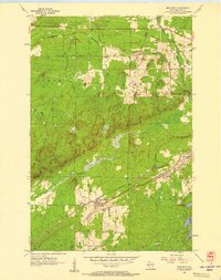 1956 Iron Belt1957 Print · USGSIron County mining towns and timberlands are captured here during the mid-fifties industrial era. Researchers can trace the rail-to-mine connections through Iron Belt, Pence, and Montreal, or locate family sites near Hillside Cem.2 unique versions available
 - 1958 Map of Ashland
 1958 Ashland1958 Print · USGSCoastal Wisconsin and the Michigan borderlands meet here in the late fifties, dominated by the timbered expanses and iron-rich ranges. Genealogists can trace family footprints in settlements like Odanah and Montreal, or locate landmarks such as the Coast Guard Station and Agricultural Experiment Station.
 - 1980 Map of Ironwood
 1980 Ironwood1980 Print · USGSThe Michigan-Wisconsin borderlands appear in the late twentieth century as a landscape defined by iron mining and deep forests. Researchers can trace the rail-and-river economy through the Soo Line and Chicago and North Western tracks connecting Mellen, Glidden, and Hurley.
 - 2010 Map of Iron Belt, 2010 Print
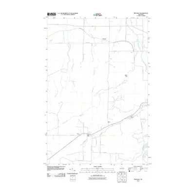 2010 Iron Belt2010 Print · USGSIron County, Wisconsin, is documented here in the early 2000s, showing the enduring layout of its northern mining-era settlements. Researchers can locate Hillside Cemetery and trace the local road networks surrounding Iron Belt, Pence, and Kimball.
 - 2013 Map of Iron Belt, 2013 Print
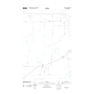 2013 Iron Belt2013 Print · USGSIron County’s mining and timber heritage is visible in this modern survey of the communities along the Montreal River. Researchers can trace the local road networks and watercourses like the Potato River that surround the settlements of Iron Belt and Pence.
 - 2015 Map of Iron Belt, 2015 Print
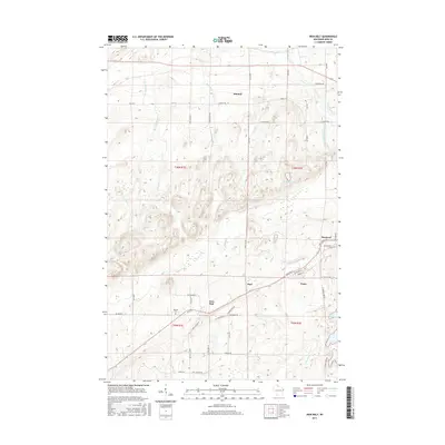 2015 Iron Belt2015 Print · USGSIron County's mining heritage is on display in this study of Iron Belt and Montreal during the early twenty-first century. Researchers can trace local lineage at Hillside Cem or follow the paths of Plummer Mine Rd and the West Fork Montreal River.
 - 2018 Map of Iron Belt, 2018 Print
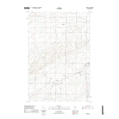 2018 Iron Belt2018 Print · USGSIron County, Wisconsin, is documented here in 2018, showcasing the enduring settlement patterns of the Gogebic Range. Researchers can trace family history through Hillside Cem and the streets of Iron Belt, Montreal, and Pence.
 - 2022 Map of Iron Belt, 2022 Print
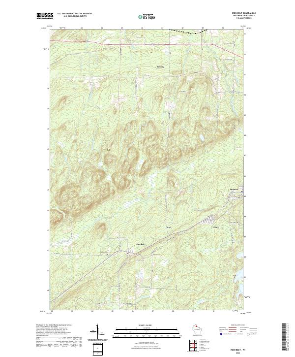 2022 Iron Belt2022 Print · USGSMining history and northern Wisconsin settlement patterns define this portion of the Gogebic Range. Genealogists and researchers can trace the streets of Iron Belt, Montreal, and Pence, or locate local landmarks like Hillside Cem.
End of results
Showing maps 1-11 of 11
Top cities near Hoyt
- Ironwood historical maps
- Bessemer historical maps
- Mercer historical maps
- Hurley historical maps
- Montreal historical maps
- Kimball historical maps
See more
Frequently asked questions
- What are the different types of historical maps available for Hoyt?
- What is the oldest map of Hoyt?
- Where can I purchase historical maps of Hoyt for my home or office?
- Where can I download high-res historical maps of Hoyt?
- Are there historical topographic maps available for Hoyt?
- Is there historical aerial imagery available for Hoyt?
- Where are historical maps of Hoyt sourced from?