Old Maps of City Point, Wisconsin for Metal Detecting
Plan your next treasure hunt with 18 historic maps of City Point. Find old homesites, ghost towns, trails, and gathering spots that may be lost to time — perfect for identifying promising metal detecting locations.
- Locate forgotten sites: Uncover places like long-lost settlements, abandoned rail lines, or gathering spots.
- Plan better hunts: Use map overlays combined with LiDAR or satellite views to narrow in on historically rich areas.
- Made for detectorists: Thousands of hobbyists use these maps to discover relics, coins, and hidden history.
Use these historic maps to boost your research and find new opportunities beneath the surface of City Point.
City Point, WI maps
(18)- 1953 Map of Eau Claire, 1965 Print
 1953 Eau Claire1965 Print · USGSWest-central Wisconsin in the mid-fifties shows a landscape of river-valley industry and vast wildlife refuges during the transition from rails to modern highways. Genealogists and historians can trace the rail corridors of the Chicago and North Western or locate family-named landmarks like Decorah Mound and Chippewa Island.4 unique versions available
 - 1957 Map of City Point, 1960 Print
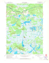
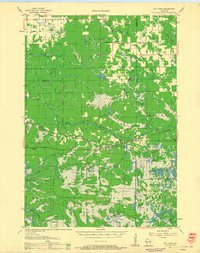 1957 City Point1960 Print · USGSJackson and Clark Counties are shown here in the late fifties, dominated by the timber and cranberry industries of the Central Wisconsin Sand County. Genealogists and historians can locate rural landmarks like Audubon Sch, Martyrs Cem, and the old rail siding at Spaulding.2 unique versions available
 - 1958 Map of Eau Claire
 1958 Eau Claire1958 Print · USGSWestern Wisconsin in the late fifties shows a landscape of growing regional hubs and massive wildlife refuges. Trace the rail lines of the Chicago and North Western between Eau Claire and Marshfield, or explore the terrain around Iron Mound and Lake Wissota.
 - 1958 Map of Hatfield, 1960 Print
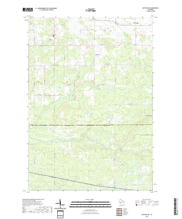
 1958 Hatfield1960 Print · USGSIn the late fifties, the central Wisconsin lake country was defined by its vast flowage systems and timbered mounds. Researchers can trace rural school locations like Carlyle Sch and explore old transport routes through Komensky Station or along an old railroad grade.
 - 1964 Map of Eau Claire
 1964 Eau Claire1964 Print · USGSWest-central Wisconsin in the mid-1960s was a hub of river-driven industry and expanding rail networks. Researchers can trace historic homesteads near Menomonie, follow the Soo Line RR through Marshfield, or explore the grounds of the Camp McCoy Military Reservation.
 - 1970 Map of City Point NE, 1972 Print
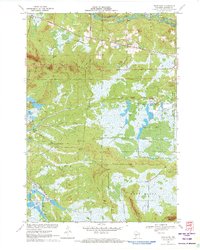
 1970 City Point NE1972 Print · USGSThe Wood County marshlands and the settlement of Sherwood are captured here in the early 1970s. Researchers can trace the drainage of Ammundson Marsh or locate the Cranberry Bog and Sherwood Lake recreation area.2 unique versions available
 - 1970 Map of Spaulding, 1972 Print
 1970 Spaulding1972 Print · USGSJackson County’s cranberry country and railroad corridors are captured here in the early seventies. Genealogists and local historians can trace the tracks through Pray and Spaulding or locate landmarks like Potter Flowage and Saddle Mound.2 unique versions available
 - 1970 Map of City Point, 1972 Print
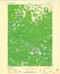
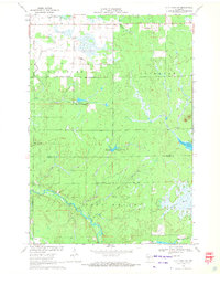
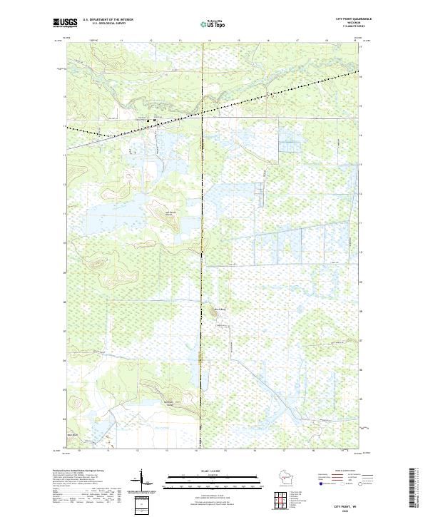
 1970 City Point1972 Print · USGSWood County’s cranberry country and rail history are well-preserved here in the early seventies, centered on the junction at City Point. Researchers can trace the legacy of local families through the Martyrs Cem City Point Cem and the complex drainage of the Remington Ditch and Bissig Ditch.3 unique versions available
 - 1970 Map of City Point NW, 1972 Print
 1970 City Point NW1972 Print · USGSCentral Wisconsin's wetland-rich borderlands are documented here at a time when the East Fork Black River and local marshlands defined the landscape. Genealogists and researchers can trace the settlement at Pray and find specific landmarks like the isolated Grave and Amundson Marsh.2 unique versions available
 - 1970 Map of Hatfield NE, 1972 Print
 1970 Hatfield NE1972 Print · USGSCentral Wisconsin timber and marshlands appear in detail during the early seventies, centered on the community of Shortville. Researchers can trace the meandering path of the East Fork Black River and locate the drainage of Rock Creek through the surrounding township lands.3 unique versions available
 - 1970 Map of Hatfield SE, 1972 Print
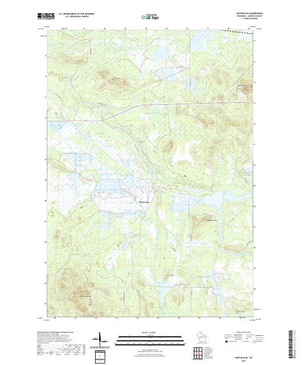
 1970 Hatfield SE1972 Print · USGSJackson County's wetland interior is captured here in the early 1970s, showcasing a complex system of state forest lands and managed flowages. Researchers can trace the legacy of regional industry and land use through the Cranberry Bogs, the Old Railroad Grade, and distinctive landmarks like Saddle Mound.2 unique versions available
 - 1985 Map of Black River Falls
 1985 Black River Falls1985 Print · USGSCentral Wisconsin in the mid-1980s is defined by its sprawling wildlife refuges and the winding Black River corridor. Genealogists and researchers can trace rural settlements like Millston and Warrens or locate historical sites such as the Iron Mine and the grounds of Fort McCoy.2 unique versions available
 - 2022 Map of City Point NE, 2022 Print
 2022 City Point NE2022 Print · USGSWisconsin's marshlands at the junction of Wood, Clark, and Jackson counties are captured in this modern survey. Genealogists and local historians can trace family locations near the Sherwood Cem and the small settlements of Sherwood and Nevins.
 - 2022 Map of Hatfield NE, 2022 Print
 2022 Hatfield NE2022 Print · USGSThe Clark and Jackson County borderlands are documented here in the early twenty-first century, centered on the East Fork Black River. Genealogists and local historians can locate Shortville, the Levis Cem, and the crossing of Old Hwy 54 near Waterbury.
 - 2022 Map of City Point, 2022 Print
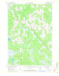
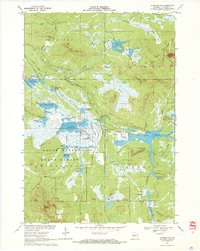
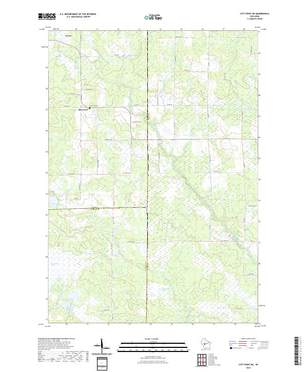
 2022 City Point2022 Print · USGSThe marshlands of central Wisconsin are shown here in modern detail where the East Fork Black River flows past City Point. Researchers can trace old family burial sites at City Point Cemetery or locate distinctive landforms like Birch Bluff and Van Tassle Island.
 - 2022 Map of Hatfield SE, 2022 Print
 2022 Hatfield SE2022 Print · USGSJackson County's marshlands and glacial mounds are documented in this recent survey of the Central Wisconsin landscape. Researchers can trace intricate water systems like Townline Reservoir and find local landmarks such as Wildcat Mound and Speck Oaks.
 - 2022 Map of City Point NW, 2022 Print
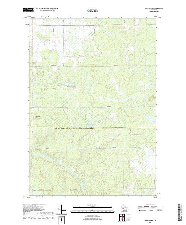 2022 City Point NW2022 Print · USGSCentral Wisconsin's wetland and river systems are shown in detail during the early 2020s. Researchers can trace the watercourse of the East Fork Black River and locate the crossroads settlement of Pray near Brushy Ridge.
 - 2022 Map of Spaulding, 2022 Print
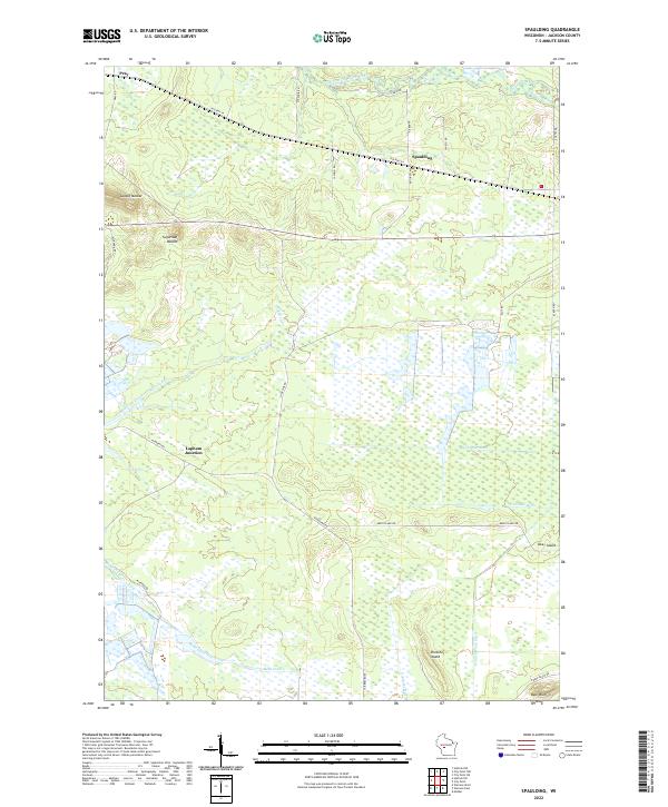 2022 Spaulding2022 Print · USGSWetlands and drainage ditches define this Jackson County landscape as it appeared in the early 2020s. Genealogists and local historians can trace the rural reaches of Pray, Spaulding, and Lapham Junction or locate family-named landmarks like Bear Bluff.
End of results
Showing maps 1-18 of 18
Top cities near City Point
- Neillsville historical maps
- Lynn historical maps
- Granton historical maps
- Sherwood historical maps
- Warrens historical maps
- Millston historical maps
Top neighborhoods of City Point
Frequently asked questions
- What are the different types of historical maps available for City Point?
- What is the oldest map of City Point?
- Where can I purchase historical maps of City Point for my home or office?
- Where can I download high-res historical maps of City Point?
- Are there historical topographic maps available for City Point?
- Is there historical aerial imagery available for City Point?
- Where are historical maps of City Point sourced from?