Old Maps of City Point, Wisconsin
Explore 42 old maps of City Point, spanning from 1953 to today. These high-resolution historic maps reveal how streets, neighborhoods, landmarks, and natural features evolved over time — perfect for genealogy, metal detecting, research, and local history exploration.
What you can do with these maps:
- See how City Point changed over time: Compare historical maps to modern-day views to trace roads, homesites, rail lines & more.
- View detailed metadata: Each map includes creators, publishers, year, scale, and archive source.
- Overlay maps with satellite & LiDAR: Visualize the past alongside modern tools to explore terrain & human change.
- Trusted historical sources: Maps sourced from the USGS, Library of Congress, and other archives.
- Access maps your way: View online, download high-res files, or order prints for personal or research use.
Start exploring old maps of City Point to uncover forgotten places, hidden landmarks, and the deep history beneath your feet.
City Point, WI maps
(42)- 1953 Map of Eau Claire, 1965 Print
 1953 Eau Claire1965 Print · USGSWest-central Wisconsin in the mid-fifties shows a landscape of river-valley industry and vast wildlife refuges during the transition from rails to modern highways. Genealogists and historians can trace the rail corridors of the Chicago and North Western or locate family-named landmarks like Decorah Mound and Chippewa Island.4 unique versions available
 - 1957 Map of City Point, 1960 Print
 1957 City Point1960 Print · USGSJackson and Clark Counties are shown here in the late fifties, dominated by the timber and cranberry industries of the Central Wisconsin Sand County. Genealogists and historians can locate rural landmarks like Audubon Sch, Martyrs Cem, and the old rail siding at Spaulding.2 unique versions available
 - 1958 Map of Eau Claire
 1958 Eau Claire1958 Print · USGSWestern Wisconsin in the late fifties shows a landscape of growing regional hubs and massive wildlife refuges. Trace the rail lines of the Chicago and North Western between Eau Claire and Marshfield, or explore the terrain around Iron Mound and Lake Wissota.
 - 1958 Map of Hatfield, 1960 Print
 1958 Hatfield1960 Print · USGSIn the late fifties, the central Wisconsin lake country was defined by its vast flowage systems and timbered mounds. Researchers can trace rural school locations like Carlyle Sch and explore old transport routes through Komensky Station or along an old railroad grade.
 - 1964 Map of Eau Claire
 1964 Eau Claire1964 Print · USGSWest-central Wisconsin in the mid-1960s was a hub of river-driven industry and expanding rail networks. Researchers can trace historic homesteads near Menomonie, follow the Soo Line RR through Marshfield, or explore the grounds of the Camp McCoy Military Reservation.
 - 1970 Map of City Point NE, 1972 Print
 1970 City Point NE1972 Print · USGSThe Wood County marshlands and the settlement of Sherwood are captured here in the early 1970s. Researchers can trace the drainage of Ammundson Marsh or locate the Cranberry Bog and Sherwood Lake recreation area.2 unique versions available
 - 1970 Map of Spaulding, 1972 Print
 1970 Spaulding1972 Print · USGSJackson County’s cranberry country and railroad corridors are captured here in the early seventies. Genealogists and local historians can trace the tracks through Pray and Spaulding or locate landmarks like Potter Flowage and Saddle Mound.2 unique versions available
 - 1970 Map of City Point, 1972 Print
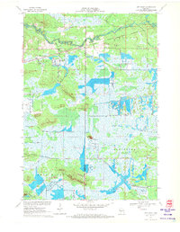 1970 City Point1972 Print · USGSWood County’s cranberry country and rail history are well-preserved here in the early seventies, centered on the junction at City Point. Researchers can trace the legacy of local families through the Martyrs Cem City Point Cem and the complex drainage of the Remington Ditch and Bissig Ditch.3 unique versions available
 - 1970 Map of City Point NW, 1972 Print
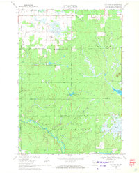 1970 City Point NW1972 Print · USGSCentral Wisconsin's wetland-rich borderlands are documented here at a time when the East Fork Black River and local marshlands defined the landscape. Genealogists and researchers can trace the settlement at Pray and find specific landmarks like the isolated Grave and Amundson Marsh.2 unique versions available
 - 1970 Map of Hatfield NE, 1972 Print
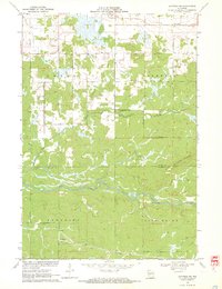 1970 Hatfield NE1972 Print · USGSCentral Wisconsin timber and marshlands appear in detail during the early seventies, centered on the community of Shortville. Researchers can trace the meandering path of the East Fork Black River and locate the drainage of Rock Creek through the surrounding township lands.3 unique versions available
 - 1970 Map of Hatfield SE, 1972 Print
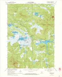 1970 Hatfield SE1972 Print · USGSJackson County's wetland interior is captured here in the early 1970s, showcasing a complex system of state forest lands and managed flowages. Researchers can trace the legacy of regional industry and land use through the Cranberry Bogs, the Old Railroad Grade, and distinctive landmarks like Saddle Mound.2 unique versions available
 - 1985 Map of Black River Falls
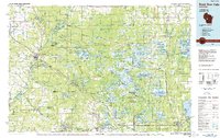 1985 Black River Falls1985 Print · USGSCentral Wisconsin in the mid-1980s is defined by its sprawling wildlife refuges and the winding Black River corridor. Genealogists and researchers can trace rural settlements like Millston and Warrens or locate historical sites such as the Iron Mine and the grounds of Fort McCoy.2 unique versions available
 - 2010 Map of City Point NE, 2010 Print
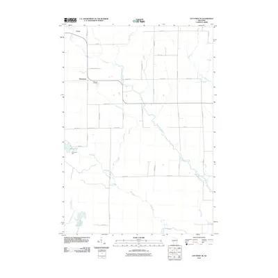 2010 City Point NE2010 Print · USGSSherwood and Nevins are documented here in the early twenty-first century, showcasing a rural Wisconsin landscape tied to the East Fork Black River. Researchers can trace local history at the Sherwood Cemetery or locate landmarks like Sherwood Dam and Sherwood Lake 15.
 - 2010 Map of Spaulding, 2010 Print
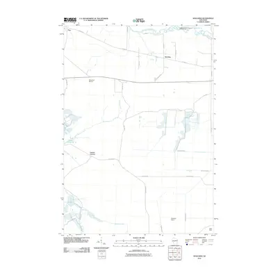 2010 Spaulding2010 Print · USGSThe marshlands of Jackson County come alive in this early 21st-century survey of the Spaulding area. Genealogists and local historians can trace family road names and hydrological landmarks like Potter Flowage 58, Sugarloaf Mound, and Drescher Island.
 - 2010 Map of Hatfield NE, 2010 Print
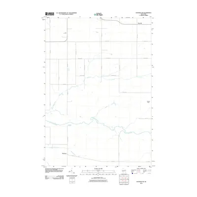 2010 Hatfield NE2010 Print · USGSShortville and the river valleys of Jackson County are captured here during a period of modern rural stability. Genealogists and local historians can trace family land near Levis Cemetery or follow the paths of Rock Creek and the East Fork Black River.
 - 2010 Map of City Point, 2010 Print
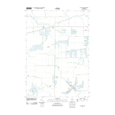 2010 City Point2010 Print · USGSCity Point and the surrounding Jackson County wetlands are captured here in the early twenty-first century, showing a landscape shaped by water and wood. Researchers can trace local lineage at Martyrs Cemetery or explore the network of dams and canals including Remington Ditch and Van Tassle Island.
 - 2010 Map of Hatfield SE, 2010 Print
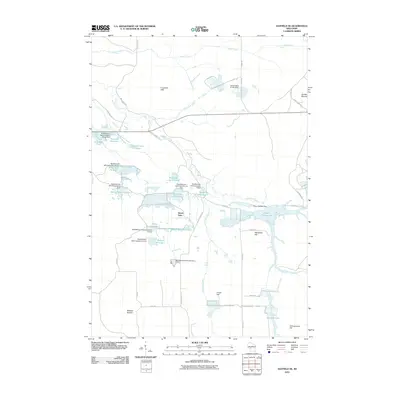 2010 Hatfield SE2010 Print · USGSManaged wetlands and isolated mounds dominate this Jackson County landscape at the start of the 21st century. Researchers can trace decades of water management through the many dams and reservoirs like Schwartz Pool, Seventeen Reservoir, and Potter Flowage 58.
 - 2010 Map of City Point NW, 2010 Print
 2010 City Point NW2010 Print · USGSThe Clark County backcountry at the start of the 2010s shows a landscape of managed watersheds and forest roads. Researchers can trace the drainage of the East Fork Black River and locate distinctive landmarks like Qualley E1854 Dam and Sherwood Lake 15.
 - 2013 Map of City Point NE, 2013 Print
 2013 City Point NE2013 Print · USGSSherwood and the surrounding Clark County wetlands are captured here in the early twenty-first century as the landscape remains defined by its glacial waterways. Genealogists and local historians can trace family-named routes like Accola Rd and Niemann Rd near Sherwood Lake and the East Fork Black River.
 - 2013 Map of Hatfield SE, 2013 Print
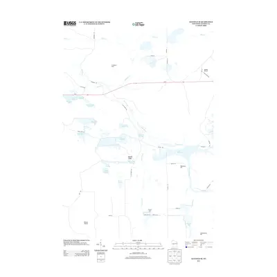 2013 Hatfield SE2013 Print · USGSJackson County’s wetland interior is documented here in the early twenty-first century, showing a landscape of specialized water management and isolated mounds. Researchers can trace the network of pools and flowages such as Schwartz Pool and Potter Flowage alongside landmarks like Saddle Mound.
 - 2013 Map of Spaulding, 2013 Print
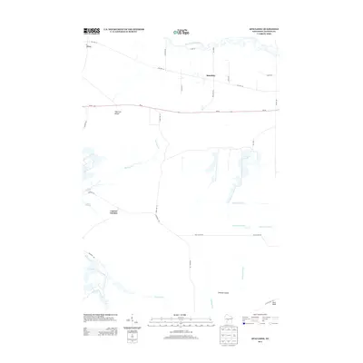 2013 Spaulding2013 Print · USGSJackson County's wooded marshlands and river corridors are documented here during the early twenty-first century. Researchers can trace local landmarks like Sugarloaf Mound and the drainage networks of the North Floater Ditch near the settlement of Spaulding.
 - 2013 Map of City Point, 2013 Print
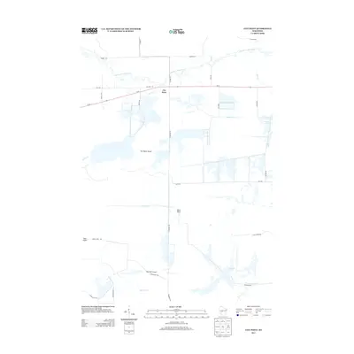 2013 City Point2013 Print · USGSJackson County's wetland landscape is captured here in the early twenty-first century, centered on the small community of City Point. Genealogists and local historians can trace family-named landmarks like Van Tassle Island and Ketchum Island among a complex network of drainage works including Weisner Ditch.
 - 2013 Map of Hatfield NE, 2013 Print
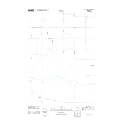 2013 Hatfield NE2013 Print · USGSShortville and the surrounding rural Jackson County landscape are captured here in the early twenty-first century. Researchers can trace the path of the East Fork Black River or locate the settlement of Waterbury and the historic Old Hwy 54 corridor.
 - 2013 Map of City Point NW, 2013 Print
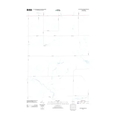 2013 City Point NW2013 Print · USGSWisconsin's northern woods and wetlands come into focus here in the early twenty-first century. Genealogists and outdoorsmen can trace the rural road network and water features like Washwood Pond, Sherwood Lake, and the winding East Fork Black River.
 - 2015 Map of City Point NE, 2015 Print
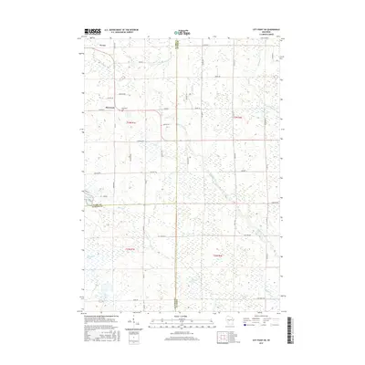 2015 City Point NE2015 Print · USGSSherwood and the surrounding tri-county marshes are documented here during the mid-2010s. Genealogists and local historians can trace family-named roads like Baltus Rd and locate the Sherwood Cem near the East Fork Black River.
Showing maps 1-25 of 42
Top cities near City Point
- Neillsville historical maps
- Lynn historical maps
- Granton historical maps
- Sherwood historical maps
- Warrens historical maps
- Millston historical maps
Top neighborhoods of City Point
Frequently asked questions
- What are the different types of historical maps available for City Point?
- What is the oldest map of City Point?
- Where can I purchase historical maps of City Point for my home or office?
- Where can I download high-res historical maps of City Point?
- Are there historical topographic maps available for City Point?
- Is there historical aerial imagery available for City Point?
- Where are historical maps of City Point sourced from?