Old Maps of Clearview Estates, Armenia for Hiking & Exploration
Hike through history with 9 historic maps of Clearview Estates. Explore old trails, ghost towns, and forgotten backroads — perfect for outdoor adventurers and local explorers.
- Rediscover forgotten places: Map out old mining camps, roads, and footpaths that no longer exist on modern maps.
- Layer with modern tools: Combine with LiDAR or satellite views to plan hikes through historical terrain.
- Made for exploration: Popular among hikers, overlanders, and local history lovers.
Use these maps to find adventure and explore the hidden past of Clearview Estates.
Clearview Estates, Armenia maps
(9)- 1955 Map of Green Bay, 1968 Print
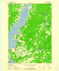
 1955 Green Bay1968 Print · USGSCentral and Eastern Wisconsin are captured here in the mid-fifties, showing the industrial growth of the Fox Valley and Wisconsin River corridors. Genealogists and historians can trace rail lines like the Green Bay and Western through settlements like Weyauwega, Clintonville, and Pulaski.2 unique versions available
 - 1958 Map of Arkdale, 1960 Print
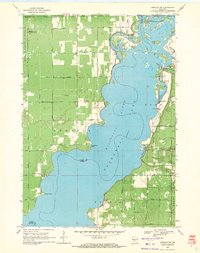
 1958 Arkdale1960 Print · USGSIn the late fifties, the central Wisconsin landscape of Adams County was defined by the massive Petenwell Flowage and rural farming life. Genealogists can trace family names at Violet Lawn Sch, Spring Branch Cem, and the settlement of Arkdale.
 - 1969 Map of Arkdale NW, 1971 Print
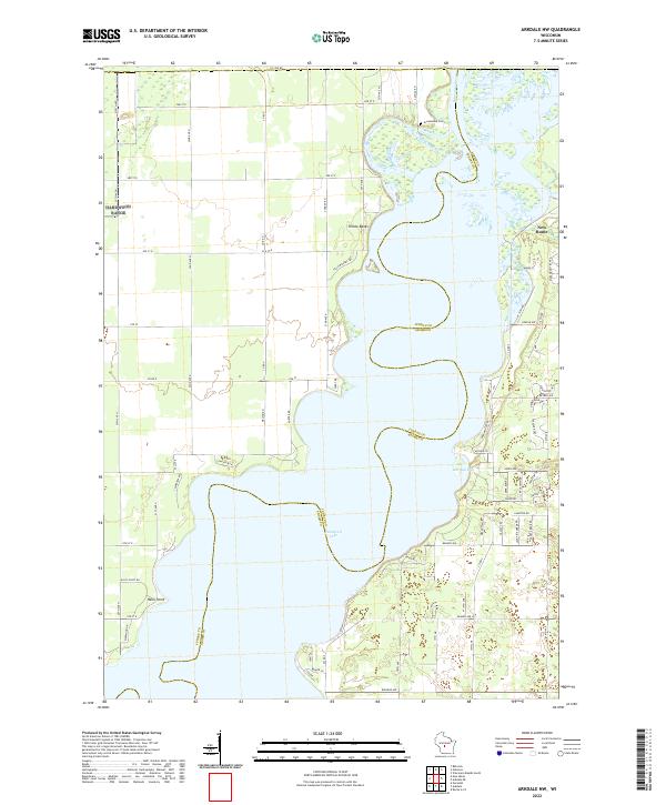
 1969 Arkdale NW1971 Print · USGSThe shorelines of the Wisconsin River define the local landscape during the late sixties, where recreation and military activity exist side-by-side. Trace old landmarks like Cranberry Rock Lookout Tower, the settlement at New Rome, and the expansive National Guard Bombing and Gunnery Range.3 unique versions available
 - 1985 Map of Wisconsin Rapids
 1985 Wisconsin Rapids1985 Print · USGSCentral Wisconsin in the mid-eighties shows a landscape of engineered waterways and active rail corridors between Wisconsin Rapids and Waupaca. Genealogists and researchers can trace local landmarks like Roche A Cri State Park, the SOO LINE, and small settlements like Coddington or Rudolph.2 unique versions available
 - 2010 Map of Arkdale NW, 2010 Print
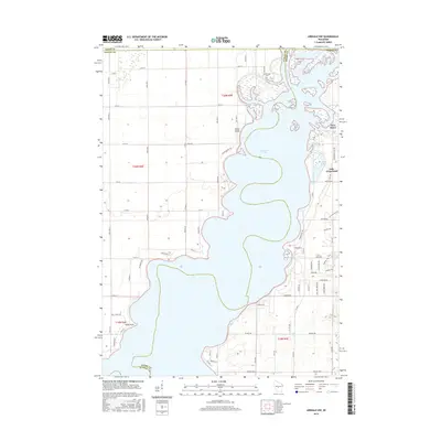
 2010 Arkdale NW2010 Print · USGSCovers Clearview Estates, including Big Flats, Saratoga, and other nearby areas
 - 2013 Map of Arkdale NW, 2013 Print
 2013 Arkdale NW2013 Print · USGSCovers Clearview Estates, including Big Flats, Saratoga, and other nearby areas
 - 2015 Map of Arkdale NW, 2015 Print
 2015 Arkdale NW2015 Print · USGSCovers Clearview Estates, including Big Flats, Saratoga, and other nearby areas
 - 2018 Map of Arkdale NW, 2018 Print
 2018 Arkdale NW2018 Print · USGSCovers Clearview Estates, including Big Flats, Saratoga, and other nearby areas
 - 2022 Map of Arkdale NW, 2022 Print
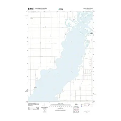
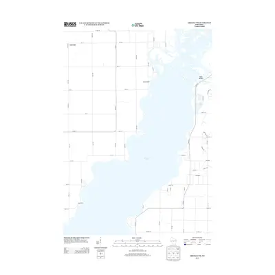
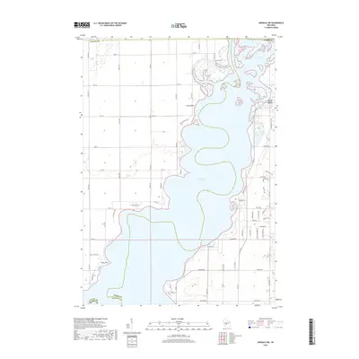
 2022 Arkdale NW2022 Print · USGSThe sprawling waters of Petenwell Lake define this region along the Juneau and Adams county line in the early twenty-first century. Researchers can trace the development of New Rome and locate landmarks like Greenwood Cem and Halls Point.
End of results
Showing maps 1-9 of 9
Frequently asked questions
- What are the different types of historical maps available for Clearview Estates?
- What is the oldest map of Clearview Estates?
- Where can I purchase historical maps of Clearview Estates for my home or office?
- Where can I download high-res historical maps of Clearview Estates?
- Are there historical topographic maps available for Clearview Estates?
- Is there historical aerial imagery available for Clearview Estates?
- Where are historical maps of Clearview Estates sourced from?