2000s (21st Century) Maps of Salem Lakes, Wisconsin
Explore 22 historic maps of Salem Lakes from the 2000s (21st Century). These maps offer a rare glimpse into what life looked like during the 2000s — showing old roads, neighborhoods, homes, and landmarks that have changed or disappeared over time.
Whether you're researching your family's past, planning a metal detecting trip, or studying how Salem Lakes's landscape evolved across the 2000s, these high-resolution maps are a powerful tool for exploring the history of this region.
- Focus on a specific era: All maps on this page are from the 2000s, giving you a focused view of this time period.
- See what’s changed: Compare century-old streets, trails, and buildings to today's modern landscape using overlays and satellite layers.
- Research with precision: Use these maps for genealogy, historical research, land use analysis, or educational projects.
- View, download, or print: Maps are fully viewable online in high resolution, and can be downloaded or printed for your own records.
Start exploring Salem Lakes's history through authentic maps from the 2000s. This is your window into the past.
Salem Lakes, WI maps
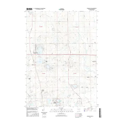
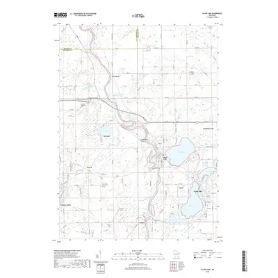
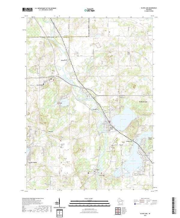
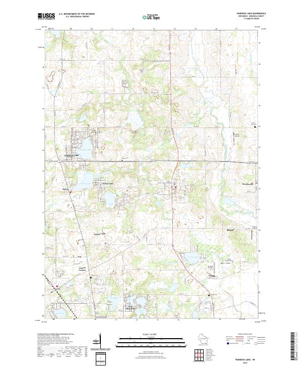
(22)- 2010 Map of Paddock Lake, 2010 Print
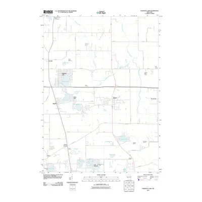 2010 Paddock Lake2010 Print · USGSCovers Salem Lakes, including Bristol, Paddock Lake, and other nearby areas
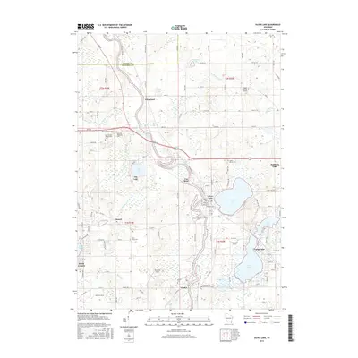
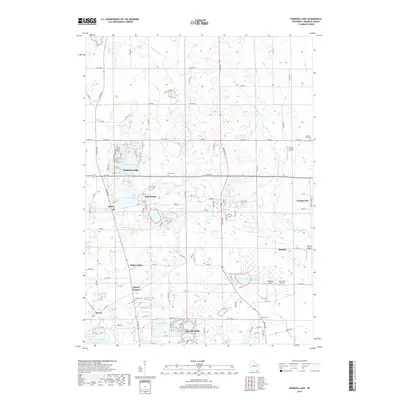
 - 2010 Map of Silver Lake, 2010 Print
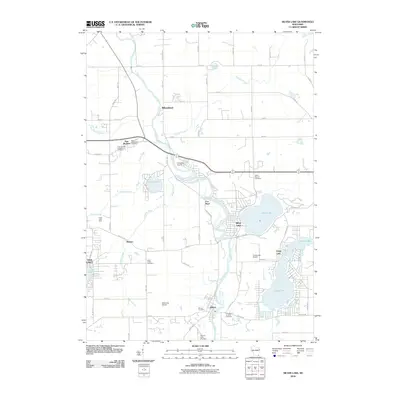 2010 Silver Lake2010 Print · USGSCovers Salem Lakes, including Twin Lakes, Wheatland, and other nearby areas
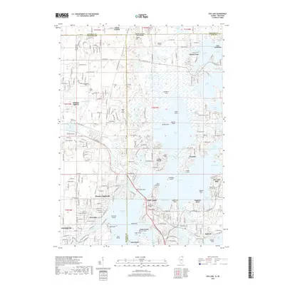
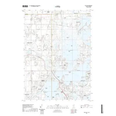
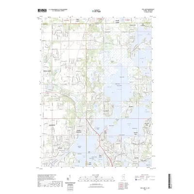
 - 2012 Map of Fox Lake, 2012 Print
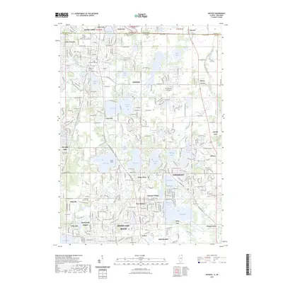
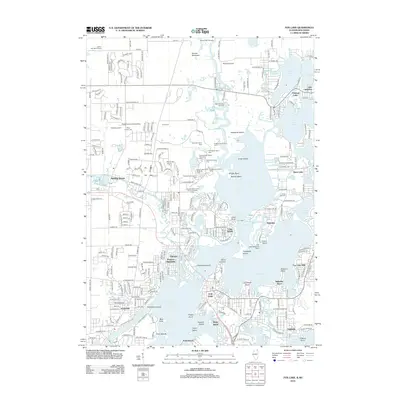 2012 Fox Lake2012 Print · USGSCovers Salem Lakes, including Antioch, Johnsburg, and other nearby areas
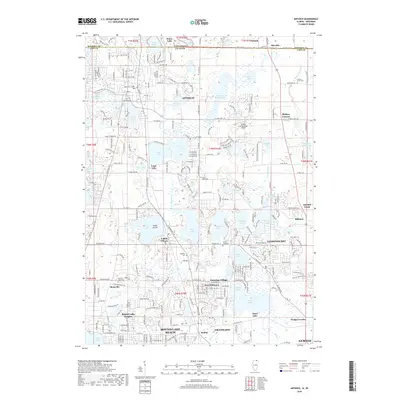
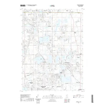
 - 2012 Map of Antioch, 2012 Print
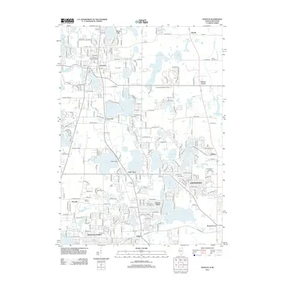 2012 Antioch2012 Print · USGSCovers Salem Lakes, including Gurnee, Round Lake Beach, and other nearby areas
 - 2013 Map of Silver Lake, 2013 Print
 2013 Silver Lake2013 Print · USGSCovers Salem Lakes, including Twin Lakes, Wheatland, and other nearby areas
 - 2013 Map of Paddock Lake, 2013 Print
 2013 Paddock Lake2013 Print · USGSCovers Salem Lakes, including Bristol, Paddock Lake, and other nearby areas
 - 2015 Map of Antioch, 2015 Print
 2015 Antioch2015 Print · USGSCovers Salem Lakes, including Gurnee, Round Lake Beach, and other nearby areas
 - 2015 Map of Fox Lake, 2015 Print
 2015 Fox Lake2015 Print · USGSCovers Salem Lakes, including Antioch, Johnsburg, and other nearby areas
 - 2016 Map of Paddock Lake, 2016 Print
 2016 Paddock Lake2016 Print · USGSCovers Salem Lakes, including Bristol, Paddock Lake, and other nearby areas
 - 2016 Map of Silver Lake, 2016 Print
 2016 Silver Lake2016 Print · USGSCovers Salem Lakes, including Twin Lakes, Wheatland, and other nearby areas
 - 2018 Map of Fox Lake, 2018 Print
 2018 Fox Lake2018 Print · USGSCovers Salem Lakes, including Antioch, Johnsburg, and other nearby areas
 - 2018 Map of Antioch, 2018 Print
 2018 Antioch2018 Print · USGSCovers Salem Lakes, including Gurnee, Round Lake Beach, and other nearby areas
 - 2018 Map of Silver Lake, 2018 Print
 2018 Silver Lake2018 Print · USGSCovers Salem Lakes, including Twin Lakes, Wheatland, and other nearby areas
 - 2018 Map of Paddock Lake, 2018 Print
 2018 Paddock Lake2018 Print · USGSCovers Salem Lakes, including Bristol, Paddock Lake, and other nearby areas
 - 2021 Map of Fox Lake, 2021 Print
 2021 Fox Lake2021 Print · USGSCovers Salem Lakes, including Antioch, Johnsburg, and other nearby areas
 - 2021 Map of Antioch, 2021 Print
 2021 Antioch2021 Print · USGSCovers Salem Lakes, including Gurnee, Round Lake Beach, and other nearby areas
 - 2022 Map of Silver Lake, 2022 Print
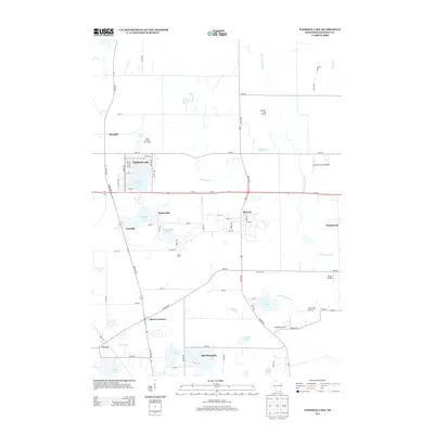
 2022 Silver Lake2022 Print · USGSKenosha County's lake country is captured here in detail, showing the developed shorelines and rural crossroads of the early 2020s. Genealogists can locate family sites at Salem Mound Cem or Wheatland Presbyterian Cem while tracing the Fox River valley.
 - 2022 Map of Paddock Lake, 2022 Print
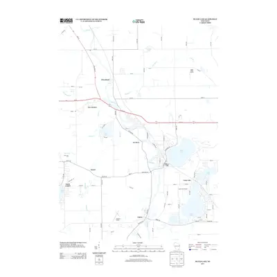
 2022 Paddock Lake2022 Print · USGSKenosha County's lake-rich landscape is captured in this recent survey, showcasing the enduring settlement patterns around Paddock Lake and Salem Oaks. Trace family sites at the Liberty Cem or explore the network of small airfields like Dutch Gap Airstrip and Winfield Airport.
 - 2023 Map of Fox Lake, 2023 Print
 2023 Fox Lake2023 Print · USGSCovers Salem Lakes, including Antioch, Johnsburg, and other nearby areas
 - 2023 Map of Antioch, 2023 Print
 2023 Antioch2023 Print · USGSCovers Salem Lakes, including Gurnee, Round Lake Beach, and other nearby areas
 - 2024 Map of Fox Lake, 2024 Print
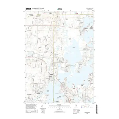
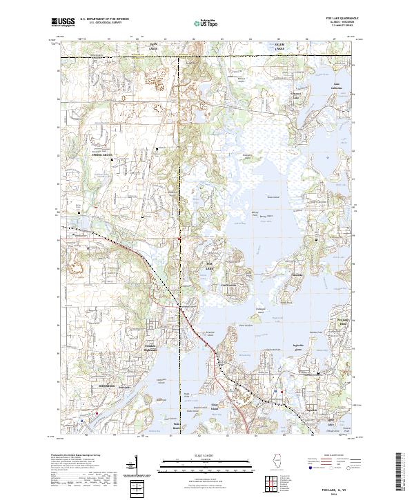 2024 Fox Lake2024 Print · USGSThe Illinois-Wisconsin borderlands come alive in this recent survey of the Fox River's sprawling glacial lake system. Researchers can trace family history at Spring Grove Cem or explore the complex shorelines of Pistakee Lake and Chain-O-Lakes State Park.
 - 2024 Map of Antioch, 2024 Print
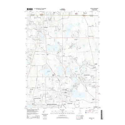
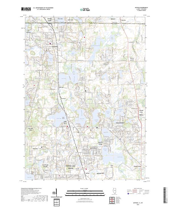 2024 Antioch2024 Print · USGSNorthern Illinois lake country is captured here during a period of significant residential expansion near the Wisconsin border. Genealogists and historians can trace family locations through Hillside Cemetery, Antioch, and smaller settlements like Millburn or Pikeville.
End of results
Showing maps 1-22 of 22
Top cities near Salem Lakes
- Kenosha historical maps
- Waukegan historical maps
- Gurnee historical maps
- Round Lake Beach historical maps
- McHenry historical maps
- Mount Pleasant historical maps
See more
Top neighborhoods of Salem Lakes
- Wilmot historical maps
- Fox River historical maps
- Wilmot historical maps
- Camp Lake historical maps
- Trevor historical maps
- Salem historical maps
See more
Frequently asked questions
- What are the different types of historical maps available for Salem Lakes?
- What is the oldest map of Salem Lakes?
- Where can I purchase historical maps of Salem Lakes for my home or office?
- Where can I download high-res historical maps of Salem Lakes?
- Are there historical topographic maps available for Salem Lakes?
- Is there historical aerial imagery available for Salem Lakes?
- Where are historical maps of Salem Lakes sourced from?