Old Maps of Salem Lakes, Wisconsin for Genealogy
Trace your family roots with 32 historic maps of Salem Lakes. These high-res maps reveal old neighborhoods, homesites, landmarks, and streets — helping you uncover where your ancestors lived and how the area evolved over time.
- Explore historic neighborhoods: Identify where your relatives may have lived in the 1800s or 1900s.
- Compare maps over time: Trace the changes in streets, buildings, and landmarks for multi-generational research.
- Perfect for genealogy & ancestry research: Used by family historians and researchers to map out lineage and migration.
These maps are an incredible resource for exploring your personal connection to Salem Lakes's past.
Salem Lakes, WI maps
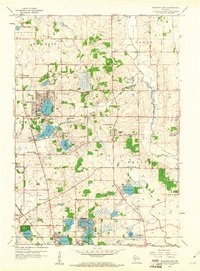
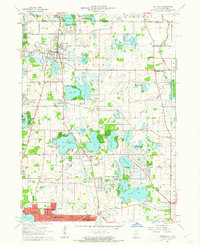
(32)- 1893 Map of Silver Lake
 1893 Silver Lake1893 Print · USGSSoutheastern Wisconsin at the end of the nineteenth century is a land of emerging rail hubs and numerous glacial lakes. You can trace the path of the Chicago Milwaukee and St. Paul Railroad through Union Grove or explore the water-rich landscape around Silver Lake and Camp Lake.2 unique versions available
 - 1906 Map of Silver Lake
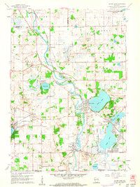
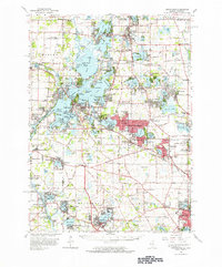
 1906 Silver Lake1906 Print · USGSSoutheastern Wisconsin at the turn of the century shows a landscape of glacial lakes and critical rail junctions during its peak dairy era. Genealogists and historians can trace the early layouts of Union Grove, Salem, and Wilmot alongside the routes of the Wisconsin Central Railroad.3 unique versions available
 - 1920 Map of Grays Lake
 1920 Grays Lake1920 Print · USGSLake County and the Illinois-Wisconsin borderlands are shown here in the early twenties, when the region was a bustling network of lakeside retreats and rural school districts. Genealogists and historians can trace dozens of family-named landmarks and institutions, including the English Prairie School, St Marys Chapel, and Union Cemetery.3 unique versions available
 - 1923 Map of Grays Lake
 1923 Grays Lake1923 Print · USGSThe glacial lake country of northern Illinois is captured here in the early twenties, just as the resort and rail economy flourished. Genealogists can trace family roots at St Marys Chapel, English Prairie School, and numerous villages like Wauconda and Spring Grove.4 unique versions available
 - 1954 Map of Rockford
 1954 Rockford1954 Print · USGSThe Rock River valley and the Illinois-Wisconsin borderlands are captured here in the mid-1950s during a period of robust industrial and agricultural activity. Genealogists and historians can trace rail-era corridors like the Illinois Central RR and locate landmarks from Big Foot Prairie to Lake Geneva.
 - 1955 Map of Rockford
 1955 Rockford1955 Print · USGSThe Rock River valley and southern Wisconsin dairy country are shown here in the mid-fifties as the region's manufacturing centers grew. Genealogists and historians can trace the paths of the Chicago and North Western RR and Illinois Central RR through hubs like Rockford and Beloit.
 - 1958 Map of Rockford, 1974 Print
 1958 Rockford1974 Print · USGSNorthern Illinois and southern Wisconsin are shown here in the mid-twentieth century as rail-dependent industrial towns began to interface with growing lakefront communities. Genealogists can trace family roots through settlements like Saylesville and Tess Corners or locate historical landmarks like the Rockford Ordnance Depot.4 unique versions available
 - 1959 Map of Paddock Lake, 1961 Print
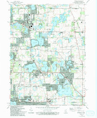
 1959 Paddock Lake1961 Print · USGSSoutheast Wisconsin in the late fifties shows a landscape of glacial lakes and growing lakeside communities. Genealogists can trace family roots at Union Cem or Hosmer Cem, and locate landmarks like the Holy Family Convent and Paddock Lake Sch.3 unique versions available
 - 1960 Map of Silver Lake, 1962 Print
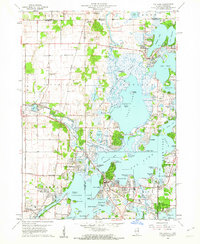
 1960 Silver Lake1962 Print · USGSSouthern Wisconsin at the start of the sixties reveals a landscape of quiet glacial lakes and evolving military footprints. Genealogists and local historians can trace the foundations of Silver Lake and New Munster or explore the massive Richard Bong Air Force Base (Abandoned).3 unique versions available
 - 1960 Map of Fox Lake, 1962 Print
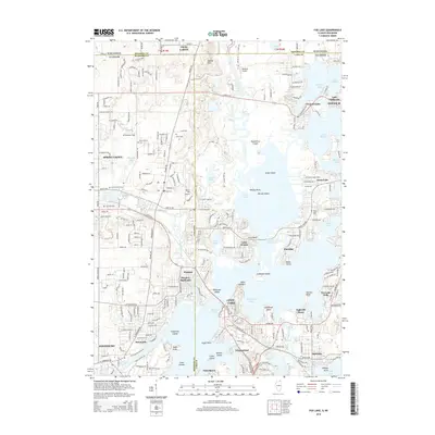
 1960 Fox Lake1962 Print · USGSThe Chain O’Lakes region in the early sixties was a bustling landscape of resort life and growing residential pockets. Trace the layout of settlements like Lotus Woods, locate local landmarks like Wilmot Hills Raceway, and find family-named cemeteries such as Orvis Cem.3 unique versions available
 - 1960 Map of Silver Lake, 1962 Print
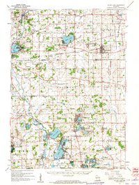 1960 Silver Lake1962 Print · USGSKenosha County in the early sixties is captured here as a landscape of rural schoolhouses and emerging mid-century recreation. Trace the footprint of the Richard Bong Air Force Base (Abandoned) or locate local landmarks like the Great Lakes Dragway and Wilmot Hills Raceway.3 unique versions available
 - 1960 Map of Antioch, 1962 Print
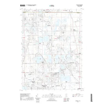
 1960 Antioch1962 Print · USGSLake County's glacial terrain was rapidly evolving in the early sixties as new suburbs like Lindenhurst rose among the ancient waters. Researchers can trace family roots at St Benedicts Abbey, Hickory Union Cem, and the early runways of Antioch Airport.3 unique versions available
 - 1960 Map of Grayslake, 1965 Print
 1960 Grayslake1965 Print · USGSLake County's glacial landscape is captured here in the early sixties, showing the rise of commuter suburbs among the region's famous waterways. Researchers can locate dozens of country landmarks like Wray-Imeson Cem, Allendale Farm Sch, and Antioch Airport.
 - 1963 Map of Rockford
 1963 Rockford1963 Print · USGSThe mid-century industrial corridor along the Rock River is shown here during a period of rapid post-war growth. Researchers can trace the extensive rail lines of the Chicago and North Western or locate local landmarks like the Rockford Ordnance Depot and Holy Hill.
 - 1980 Map of Lake Geneva, 1981 Print
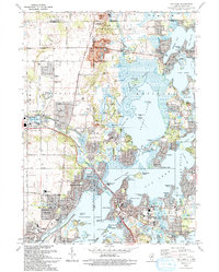
 1980 Lake Geneva1981 Print · USGSSoutheastern Wisconsin at the start of the eighties reveals a landscape of glacial moraines and established lakefront resorts. Researchers can trace historic rail lines like the Chicago and North Western RR or locate landmarks such as Yerkes Observatory and East Lawn Cem.
 - 1981 Map of Elgin
 1981 Elgin1981 Print · USGSNorthern Illinois and southern Wisconsin are shown in the early eighties as suburban growth meets glacial terrain. Trace the paths of the Milwaukee Road through Harvard or explore the wetlands of Volo Bog State Natural Area.
 - 1993 Map of Fox Lake
 1993 Fox Lake1993 Print · USGSThe Illinois-Wisconsin border country comes alive in this survey of the Chain O' Lakes during the early nineties. Genealogists and local historians can trace family-named sites like Wray-Imeson Cem or explore the transit history of the Chicago and North Western railroad.
 - 1993 Map of Antioch
 1993 Antioch1993 Print · USGSThe Chain O'Lakes region in the early nineties shows a dense network of suburban growth and glacial water bodies along the Illinois-Wisconsin line. Genealogists and local historians can trace old community markers like Hickory Union Cem, Wedges Corner, and the Petty Sch.
 - 2012 Map of Fox Lake, 2012 Print
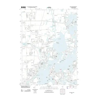 2012 Fox Lake2012 Print · USGSCovers Salem Lakes, including Antioch, Johnsburg, and other nearby areas
 - 2012 Map of Antioch, 2012 Print
 2012 Antioch2012 Print · USGSCovers Salem Lakes, including Gurnee, Round Lake Beach, and other nearby areas
 - 2015 Map of Antioch, 2015 Print
 2015 Antioch2015 Print · USGSCovers Salem Lakes, including Gurnee, Round Lake Beach, and other nearby areas
 - 2015 Map of Fox Lake, 2015 Print
 2015 Fox Lake2015 Print · USGSCovers Salem Lakes, including Antioch, Johnsburg, and other nearby areas
 - 2018 Map of Fox Lake, 2018 Print
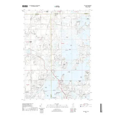 2018 Fox Lake2018 Print · USGSCovers Salem Lakes, including Antioch, Johnsburg, and other nearby areas
 - 2018 Map of Antioch, 2018 Print
 2018 Antioch2018 Print · USGSCovers Salem Lakes, including Gurnee, Round Lake Beach, and other nearby areas
 - 2021 Map of Fox Lake, 2021 Print
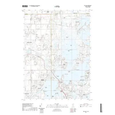 2021 Fox Lake2021 Print · USGSCovers Salem Lakes, including Antioch, Johnsburg, and other nearby areas
Showing maps 1-25 of 32
Top cities near Salem Lakes
- Kenosha historical maps
- Waukegan historical maps
- Gurnee historical maps
- Round Lake Beach historical maps
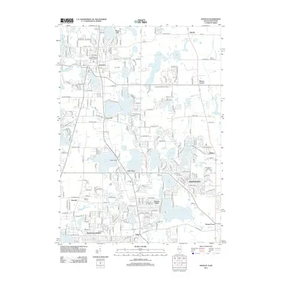
- McHenry historical maps
- Mount Pleasant historical maps
See more
Top neighborhoods of Salem Lakes
- Wilmot historical maps
- Fox River historical maps
- Trevor historical maps
- Wilmot historical maps
- Camp Lake historical maps
- Salem historical maps
See more
Frequently asked questions
- What are the different types of historical maps available for Salem Lakes?
- What is the oldest map of Salem Lakes?
- Where can I purchase historical maps of Salem Lakes for my home or office?
- Where can I download high-res historical maps of Salem Lakes?
- Are there historical topographic maps available for Salem Lakes?
- Is there historical aerial imagery available for Salem Lakes?
- Where are historical maps of Salem Lakes sourced from?