2010s Maps of Kewaunee County, Wisconsin
Explore 64 historic maps of Kewaunee County from the 2010s. These maps offer a rare glimpse into what life looked like during the 2010s — showing old roads, neighborhoods, homes, and landmarks that have changed or disappeared over time.
Whether you're researching your family's past, planning a metal detecting trip, or studying how Kewaunee County's landscape evolved across the 2010s, these high-resolution maps are a powerful tool for exploring the history of this region.
- Focus on a specific era: All maps on this page are from the 2010s, giving you a focused view of this time period.
- See what’s changed: Compare century-old streets, trails, and buildings to today's modern landscape using overlays and satellite layers.
- Research with precision: Use these maps for genealogy, historical research, land use analysis, or educational projects.
- View, download, or print: Maps are fully viewable online in high resolution, and can be downloaded or printed for your own records.
Start exploring Kewaunee County's history through authentic maps from the 2010s. This is your window into the past.
Kewaunee County, WI maps
(64)- 2010 Map of New Franken, 2010 Print
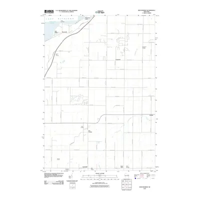 2010 New Franken2010 Print · USGSCoastal Green Bay meets the quiet farming communities of Brown County in the early twenty-first century. Researchers can locate numerous historic parish sites and burial grounds like Saint Marys Cemetery, Saint Huberts Cemetery, and the community of Walhain.
 - 2010 Map of Stangelville, 2010 Print
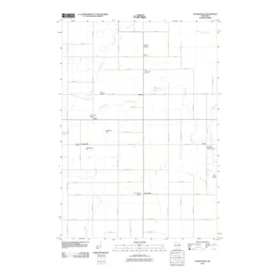 2010 Stangelville2010 Print · USGSKewaunee County's rural townships are documented here during the first decade of the millennium, showing a landscape of small crossroads settlements and family farms. Genealogists can locate specific burial sites like Saint Wenceslaus Cemetery and Saint Anna Cemetery near Pilsen.
 - 2010 Map of Brussels, 2010 Print
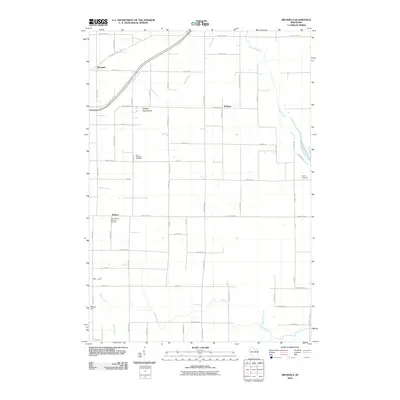 2010 Brussels2010 Print · USGSDoor County agricultural life and the prominent Niagara Escarpment are documented here during the early twenty-first century. Genealogists and historians can locate burial sites like Saint Michaels Cemetery and trace the paths of Silver Creek or the Ahnapee River near Brussels.
 - 2010 Map of Forestville, 2010 Print
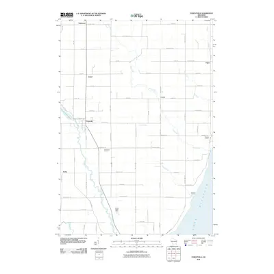 2010 Forestville2010 Print · USGSDoor County at the start of the 2010s shows a landscape of river-fed villages and rural crossroads. Genealogists and historians can trace family-named lands and local landmarks like the Forestville 1885C70 Dam, Saint Mary Cemetery, and the village of Kodan.
 - 2010 Map of Kewaunee, 2010 Print
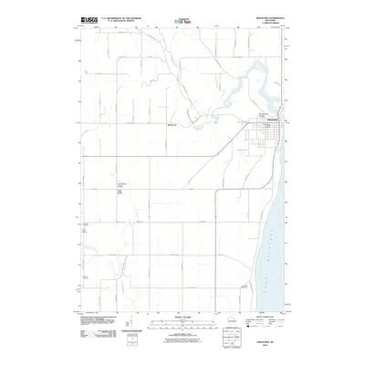 2010 Kewaunee2010 Print · USGSThe Wisconsin shoreline and its agricultural interior are documented here during the first decade of the 21st century. Genealogists can trace family heritage across numerous burial sites such as Saint Peters Cemetery and Forest View Cemetery while exploring the crossroads of East Krok.
 - 2010 Map of Algoma NE, 2010 Print
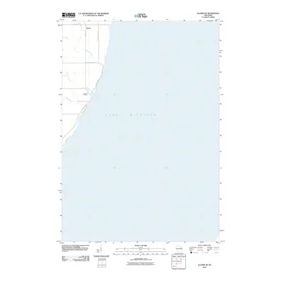 2010 Algoma NE2010 Print · USGSThe Door County shoreline in the early twenty-first century is captured here, showing the rural landscape south of Sturgeon Bay. Genealogists and local historians can locate Claybanks Cemetery and trace the paths of Woodard Creek and Schuyler Creek as they meet Lake Michigan.
 - 2010 Map of Kewaunee OE E, 2010 Print
 2010 Kewaunee OE E2010 Print · USGSThe eastern shore of Wisconsin meets the great expanse of the lake in this early twenty-first-century survey. Trace the waterfront at Kewaunee and locate maritime landmarks like the North Pierce Light alongside Lakeshore Dr.
 - 2010 Map of Poland, 2010 Print
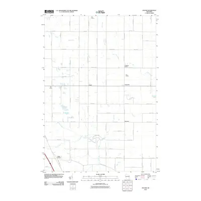 2010 Poland2010 Print · USGSEastern Brown County was still a landscape of established crossroads and family farms at the start of the decade. Genealogists and local historians can trace legacy road names and locate rural landmarks like Poland, Langes Corners, and Saint Josephs Cemetery.
 - 2010 Map of Dyckesville, 2010 Print
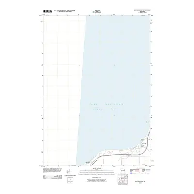 2010 Dyckesville2010 Print · USGSThe Green Bay shoreline near the Brown and Kewaunee county line comes into focus in this recent study of coastal Wisconsin. Genealogists and local historians can trace family locations near Dyckesville, the Saint Louis Catholic Cemetery, and Wellers Dock.
 - 2010 Map of Luxemburg, 2010 Print
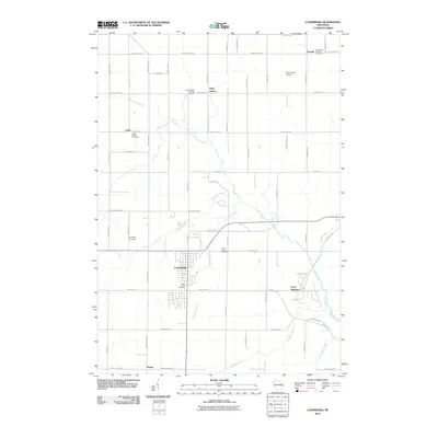 2010 Luxemburg2010 Print · USGSNear the close of the first decade of the 2000s, this area of Kewaunee County shows a landscape of established dairy farms and tightly-knit rural communities. Researchers can trace family history through numerous local sites like Saint Marys Cemetery, Casco Junction, and the historic settlement at Thiry Daems.
 - 2010 Map of Casco, 2010 Print
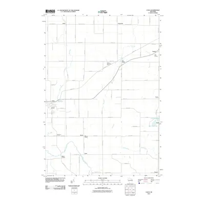 2010 Casco2010 Print · USGSKewaunee County's rural farming communities and river valleys are captured here in the early 2000s. Researchers can locate family heritage sites like Holy Trinity Cemetery or trace the Ahnapee Trl through settlements like Slovan and Rio Creek.
 - 2010 Map of Denmark, 2010 Print
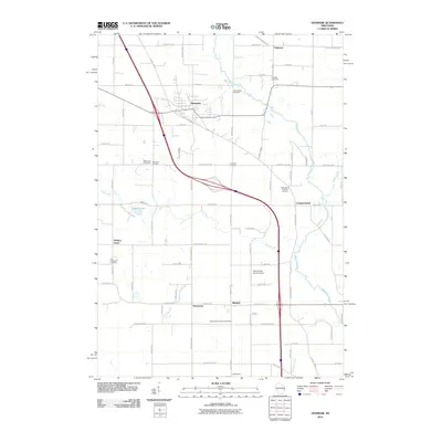 2010 Denmark2010 Print · USGSNorth of the Twin Rivers in the early twenty-first century, this area of Brown County maintains its deep rural roots and crossroads identity. Genealogists and local historians can trace family ties at the Bohemian Cemetery, West Danish Cemetery, or the village of Denmark.
 - 2010 Map of Namur, 2010 Print
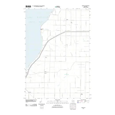 2010 Namur2010 Print · USGSCoastal Door County and the Belgian settlement area around Namur are shown here during the early 2000s. Genealogists and historians can trace family roots through sites like Saint Marys Cemetery, Duvall, and the shores of Little Mud Lake.
 - 2010 Map of Algoma, 2010 Print
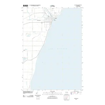 2010 Algoma2010 Print · USGSAlgoma and the Kewaunee County shoreline are shown here during the first decade of the new millennium, capturing the town’s relationship with the Ahnapee River. Researchers can locate family sites at Evergreen Cemetery, trace the path of the Ahnapee Trl, and explore the area surrounding the Henry Iwen Dam.
 - 2010 Map of Larrabee, 2010 Print
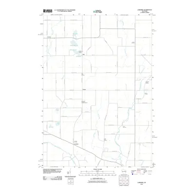 2010 Larrabee2010 Print · USGSManitowoc County remains a pastoral landscape of river forks and small hamlets in this recent survey. Researchers can trace family roots through several denominational sites, including the Bolt Bohemian Township Cemetery, Saint Mary Catholic Cemetery, and the quiet crossroads of Zander.
 - 2010 Map of Two Creeks, 2010 Print
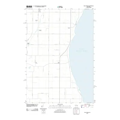 2010 Two Creeks2010 Print · USGSThe Lake Michigan shoreline of Manitowoc County is captured here in the early twenty-first century. Family researchers and historians can trace local lineages through the Sandy Bay Cemetery, the village of Norman, and landmarks like the Zellner 3WR-1928 Dam.
 - 2013 Map of Algoma NE, 2013 Print
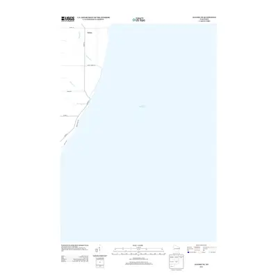 2013 Algoma NE2013 Print · USGSThe Lake Michigan shoreline of Door County is captured here in the early twenty-first century, showing a landscape of coastal bluffs and rural homesteads. Trace the path of Woodard Cr near Salona or explore the local routes along Mount Lookout Rd.
 - 2013 Map of Luxemburg, 2013 Print
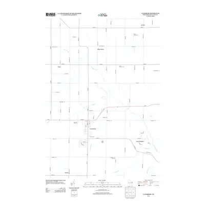 2013 Luxemburg2013 Print · USGSWisconsin's Kewaunee County reveals its agricultural heart and historic crossroads in this early twenty-first-century survey. Genealogists and local historians can trace family-named lands like Junion Homestead Farm and Theys Orchard, or locate regional hubs such as Luxemburg and Casco Junction.
 - 2013 Map of Poland, 2013 Print
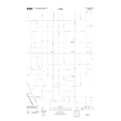 2013 Poland2013 Print · USGSDairy country in eastern Brown County comes into focus in the early twenty-first century, showing a landscape of century farms and crossroads hamlets. Genealogists and local historians can locate heritage sites like Rosik Century Farms, Martyville Dairy, and Coppens Corner.
 - 2013 Map of Larrabee, 2013 Print
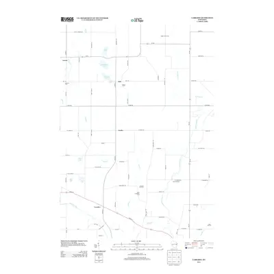 2013 Larrabee2013 Print · USGSManitowoc County agriculture and river valleys are captured here in the early twenty-first century. Researchers can locate specific family operations like Evergreen Dairy Farm and Steinhorst Farms or trace the West Twin River through Larrabee.
 - 2013 Map of Forestville, 2013 Print
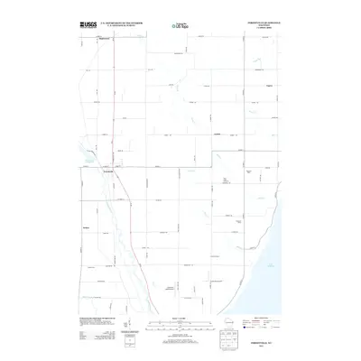 2013 Forestville2013 Print · USGSDoor County's agricultural and riverine landscape is captured here in the early twenty-first century as it meets the Great Lakes coast. Genealogists and researchers can trace family lands near Forestville or locate landmarks like Harmann Farms and the Jorgensen - Stoller Airport.
 - 2013 Map of Stangelville, 2013 Print
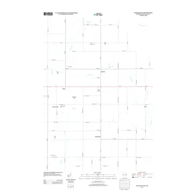 2013 Stangelville2013 Print · USGSKewaunee County's dairy heartland is captured here in the early twenty-first century, showing a landscape shaped by family farms and rural hamlets. Genealogists and local historians can locate long-standing agricultural sites like Salzsieder Farms and settlements such as Stangelville and Pilsen.
 - 2013 Map of Algoma, 2013 Print
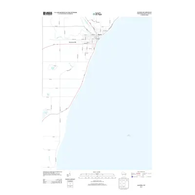 2013 Algoma2013 Print · USGSCoastal Kewaunee County comes into focus in this recent survey of the Lake Michigan shoreline. Genealogists and local historians can trace the streets of Algoma, locate the Algoma Utilities Commission, or explore the rural landscape around Bruemmerville.
 - 2013 Map of New Franken, 2013 Print
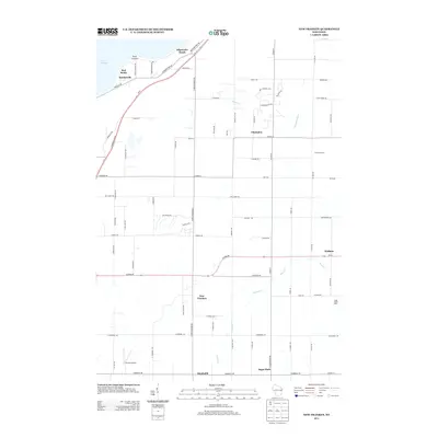 2013 New Franken2013 Print · USGSCoastal bluffs and quiet dairy farms define this Brown County landscape as it appeared in the early twenty-first century. Genealogists can trace family footprints through crossroads settlements like New Franken, Sugar Bush, and the lakeside community of Benderville.
 - 2013 Map of Denmark, 2013 Print
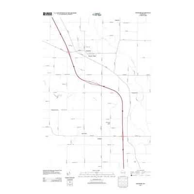 2013 Denmark2013 Print · USGSEastern Wisconsin’s dairy country and rural crossroads are captured here during a period of modern growth and agricultural stability. Genealogists and local historians can trace the development of Denmark, Maribel, and smaller nodes like Koslowski Corners or Fontenoy.
Showing maps 1-25 of 64
Top cities of Kewaunee County
- Algoma historical maps
- Kewaunee historical maps
- Luxemburg historical maps
- Lincoln historical maps
- Casco historical maps
Frequently asked questions
- What are the different types of historical maps available for Kewaunee County?
- What is the oldest map of Kewaunee County?
- Where can I purchase historical maps of Kewaunee County for my home or office?
- Where can I download high-res historical maps of Kewaunee County?
- Are there historical topographic maps available for Kewaunee County?
- Is there historical aerial imagery available for Kewaunee County?
- Where are historical maps of Kewaunee County sourced from?