Old Maps of Franklin, Wisconsin
Explore 29 old maps of Franklin, spanning from 1954 to today. These high-resolution historic maps reveal how streets, neighborhoods, landmarks, and natural features evolved over time — perfect for genealogy, metal detecting, research, and local history exploration.
What you can do with these maps:
- See how Franklin changed over time: Compare historical maps to modern-day views to trace roads, homesites, rail lines & more.
- View detailed metadata: Each map includes creators, publishers, year, scale, and archive source.
- Overlay maps with satellite & LiDAR: Visualize the past alongside modern tools to explore terrain & human change.
- Trusted historical sources: Maps sourced from the USGS, Library of Congress, and other archives.
- Access maps your way: View online, download high-res files, or order prints for personal or research use.
Start exploring old maps of Franklin to uncover forgotten places, hidden landmarks, and the deep history beneath your feet.
Franklin, WI maps
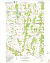
(29)- 1954 Map of Kewaunee, 1956 Print
 1954 Kewaunee1956 Print · USGSCoastal Kewaunee County and northern Manitowoc County appear here in the mid-fifties, dominated by small farm settlements and a dense network of rural schoolhouses. Genealogists can trace family roots through numerous sites like Chernesville Cem, St Peters Ch, and Tisch Mills.2 unique versions available
 - 1954 Map of Denmark, 1956 Print
 1954 Denmark1956 Print · USGSSoutheast of Green Bay in the mid-fifties, this area shows a dense network of rural schoolhouses and parish churches. Genealogists can trace family roots through sites like Little Irish Church Cem, Coppens Corner, and the East Wayside Sch (Abandoned).2 unique versions available
 - 1954 Map of Manitowoc, 1968 Print
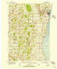
 1954 Manitowoc1968 Print · USGSLake Michigan served as a vital transit corridor in the mid-fifties, with car and auto ferries linking the industrial ports of Wisconsin to the Michigan timberlands. Genealogists and maritime historians can trace active ferry routes like the Ann Arbor Railway Car and Auto Ferry and locate early settlements from Brussels to Algoma.2 unique versions available
 - 1958 Map of Manitowoc
 1958 Manitowoc1958 Print · USGSLake Michigan and its shorelines are shown in the late fifties when maritime transport defined the region. Researchers can trace the routes of the Ann Arbor Railroad Ferry or locate old settlements like St. Nazianz, Rostock, and Two Creeks.
 - 1978 Map of Denmark, 1979 Print
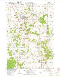 1978 Denmark1979 Print · USGSBrown County and Manitowoc County crossroads come alive in the late seventies, showing the transition from village centers to protected forest lands. Genealogists can locate family names at West Danish Cem or trace the early paths of Denmark and Maribel.
 - 1978 Map of Poland, 1979 Print
 1978 Poland1979 Print · USGSThe rural borderlands of Brown and Kewaunee counties are captured here in the late seventies. Researchers can locate family-named landmarks like Coppens Corner, trace the Chicago and North Western rail line, or find local burial records at St Josephs Cem.2 unique versions available
 - 1978 Map of Stangelville, 1979 Print
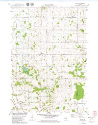
 1978 Stangelville1979 Print · USGSKewaunee County farming life is detailed in the late 1970s, showing a landscape defined by small hamlets and family-named roads. Genealogists can trace property proximity to Stangelville, Ellisville, and several country parishes like Zion Ch or St Anna Cem.
 - 1978 Map of Larrabee, 1979 Print
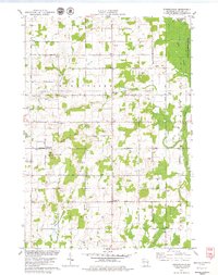
 1978 Larrabee1979 Print · USGSThe rural borderlands of Manitowoc and Kewaunee counties are captured here in the late seventies, showing a landscape of family farms and glacial lakes. Genealogists can trace family names and local landmarks like Tisch Mills, St Johns Sch, and the German Cem.
 - 1984 Map of Manitowoc, 1985 Print
 1984 Manitowoc1985 Print · USGSThe Lake Michigan shoreline of eastern Wisconsin is captured here in the mid-eighties, showing the bustling ports and rail-fed industry of the era. Genealogists and researchers can trace family-named sites near Stangelville, find the Francis Creek National Cem, or locate the U S Coast Guard Station.2 unique versions available
 - 2010 Map of Stangelville, 2010 Print
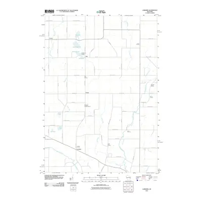
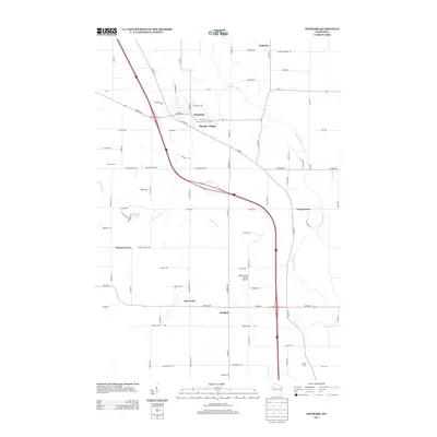
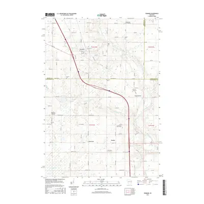
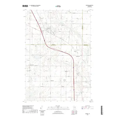
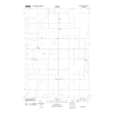 2010 Stangelville2010 Print · USGSCovers Franklin, including Carlton, Krok, and other nearby areas
 - 2010 Map of Poland, 2010 Print
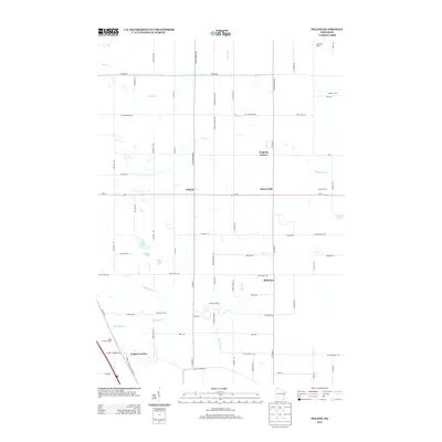
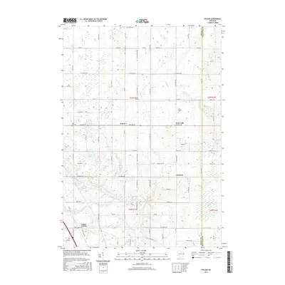
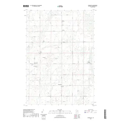
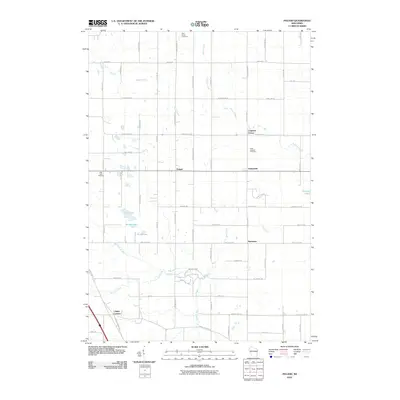 2010 Poland2010 Print · USGSCovers Franklin, including Humboldt, Eaton, and other nearby areas
 - 2010 Map of Denmark, 2010 Print
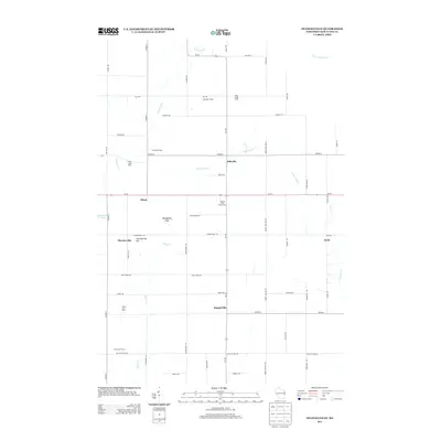
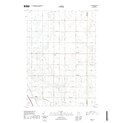
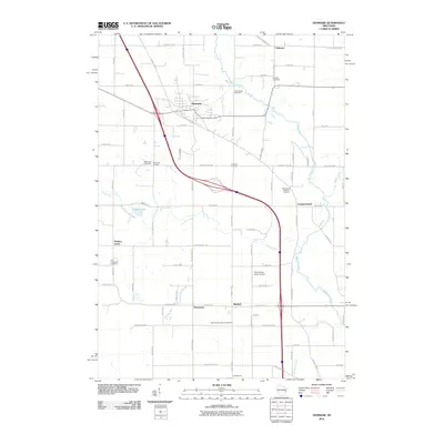 2010 Denmark2010 Print · USGSCovers Franklin, including Denmark, Cooperstown, and other nearby areas
 - 2010 Map of Larrabee, 2010 Print
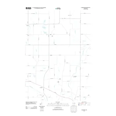
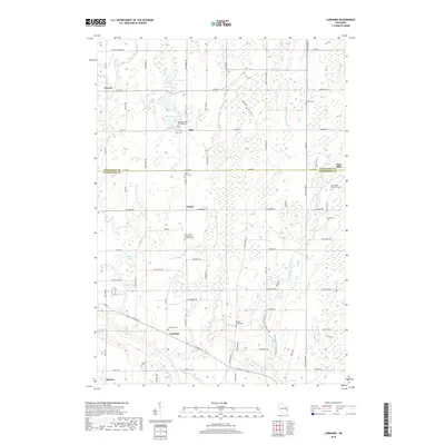
 2010 Larrabee2010 Print · USGSCovers Franklin, including Gibson, Carlton, and other nearby areas
 - 2013 Map of Poland, 2013 Print
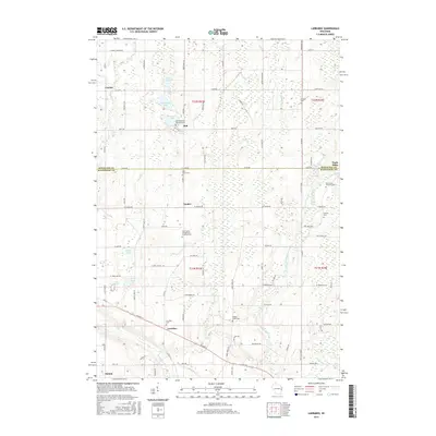
 2013 Poland2013 Print · USGSCovers Franklin, including Humboldt, Eaton, and other nearby areas
 - 2013 Map of Larrabee, 2013 Print
 2013 Larrabee2013 Print · USGSCovers Franklin, including Gibson, Carlton, and other nearby areas
 - 2013 Map of Stangelville, 2013 Print
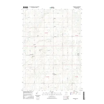
 2013 Stangelville2013 Print · USGSCovers Franklin, including Carlton, Krok, and other nearby areas
 - 2013 Map of Denmark, 2013 Print
 2013 Denmark2013 Print · USGSCovers Franklin, including Denmark, Cooperstown, and other nearby areas
 - 2015 Map of Stangelville, 2015 Print
 2015 Stangelville2015 Print · USGSCovers Franklin, including Carlton, Krok, and other nearby areas
 - 2015 Map of Larrabee, 2015 Print
 2015 Larrabee2015 Print · USGSCovers Franklin, including Gibson, Carlton, and other nearby areas
 - 2015 Map of Poland, 2015 Print
 2015 Poland2015 Print · USGSCovers Franklin, including Humboldt, Eaton, and other nearby areas
 - 2015 Map of Denmark, 2015 Print
 2015 Denmark2015 Print · USGSCovers Franklin, including Denmark, Cooperstown, and other nearby areas
 - 2018 Map of Larrabee, 2018 Print
 2018 Larrabee2018 Print · USGSCovers Franklin, including Gibson, Carlton, and other nearby areas
 - 2018 Map of Stangelville, 2018 Print
 2018 Stangelville2018 Print · USGSCovers Franklin, including Carlton, Krok, and other nearby areas
 - 2018 Map of Poland, 2018 Print
 2018 Poland2018 Print · USGSCovers Franklin, including Humboldt, Eaton, and other nearby areas
 - 2018 Map of Denmark, 2018 Print
 2018 Denmark2018 Print · USGSCovers Franklin, including Denmark, Cooperstown, and other nearby areas
Showing maps 1-25 of 29
Top cities near Franklin
- Green Bay historical maps
- Manitowoc historical maps
- Bellevue historical maps
- Two Rivers historical maps
- Ledgeview historical maps
- Kewaunee historical maps
See more
Top neighborhoods of Franklin
Frequently asked questions
- What are the different types of historical maps available for Franklin?
- What is the oldest map of Franklin?
- Where can I purchase historical maps of Franklin for my home or office?
- Where can I download high-res historical maps of Franklin?
- Are there historical topographic maps available for Franklin?
- Is there historical aerial imagery available for Franklin?
- Where are historical maps of Franklin sourced from?