Old Maps of West Kewaunee, Wisconsin for Academic Research
Study the evolution of West Kewaunee with 35 high-resolution historic maps. Whether you're teaching, researching, or modeling changes in land use, these maps provide essential visual documentation of urban, environmental, and geographic change.
- Analyze long-term change: Track patterns in development, transportation, and natural features.
- Ideal for environmental or urban studies: Support academic projects with primary historical map data.
- Use in the classroom or lab: Educators and researchers rely on these maps to bring historical context to life.
These maps are a powerful tool for teaching, research, and visualizing how West Kewaunee has changed over the decades.
West Kewaunee, WI maps
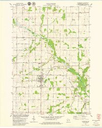
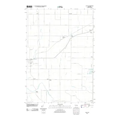
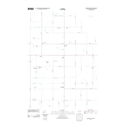
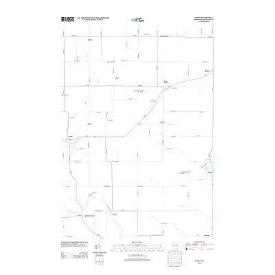
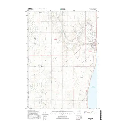
(35)- 1952 Map of Casco, 1954 Print
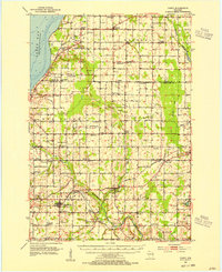 1952 Casco1954 Print · USGSWisconsin's Door Peninsula hinterlands come to life in the early 1950s, showing a landscape of small dairy towns and local rail lines. Genealogists can trace family roots through numerous country parishes and burial sites like St Marys Cem, Holy Trinity Cem, and the rural Luxemburg area.2 unique versions available
 - 1954 Map of Kewaunee, 1956 Print
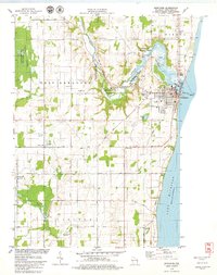
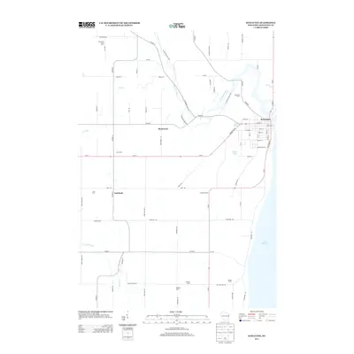
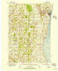 1954 Kewaunee1956 Print · USGSCoastal Kewaunee County and northern Manitowoc County appear here in the mid-fifties, dominated by small farm settlements and a dense network of rural schoolhouses. Genealogists can trace family roots through numerous sites like Chernesville Cem, St Peters Ch, and Tisch Mills.2 unique versions available
 - 1954 Map of Manitowoc, 1968 Print
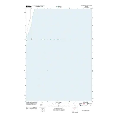
 1954 Manitowoc1968 Print · USGSLake Michigan served as a vital transit corridor in the mid-fifties, with car and auto ferries linking the industrial ports of Wisconsin to the Michigan timberlands. Genealogists and maritime historians can trace active ferry routes like the Ann Arbor Railway Car and Auto Ferry and locate early settlements from Brussels to Algoma.2 unique versions available
 - 1958 Map of Manitowoc
 1958 Manitowoc1958 Print · USGSLake Michigan and its shorelines are shown in the late fifties when maritime transport defined the region. Researchers can trace the routes of the Ann Arbor Railroad Ferry or locate old settlements like St. Nazianz, Rostock, and Two Creeks.
 - 1978 Map of Casco, 1979 Print
 1978 Casco1979 Print · USGSKewaunee County's rural townships and rail-connected villages are captured here in the late seventies. Researchers can trace family history through several sites like St Johns Cem, the settlement of Slovan, and the Ahnapee and Western rail line.
 - 1978 Map of Stangelville, 1979 Print
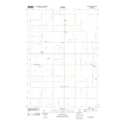
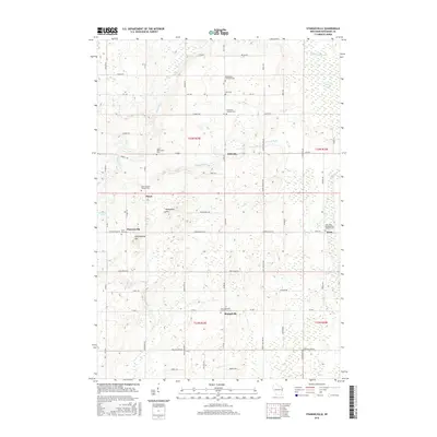
 1978 Stangelville1979 Print · USGSKewaunee County farming life is detailed in the late 1970s, showing a landscape defined by small hamlets and family-named roads. Genealogists can trace property proximity to Stangelville, Ellisville, and several country parishes like Zion Ch or St Anna Cem.
 - 1978 Map of Luxemburg, 1979 Print
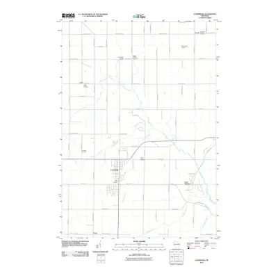
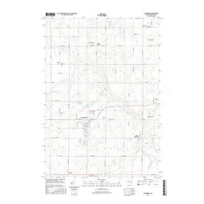
 1978 Luxemburg1979 Print · USGSWisconsin's Kewaunee County dairy lands are captured here in the late seventies, centered on the village of Luxemburg. Genealogists and historians can locate several rural parishes and cemeteries like Lincoln Chapel, St Marys Cem, and Spiritualist Cem along the Green Bay and Western line.
 - 1978 Map of Kewaunee, 1979 Print
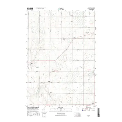
 1978 Kewaunee1979 Print · USGSThe Lake Michigan shoreline and Kewaunee River valley are shown here in the late seventies, detailing the region's transition from harbor town to rural countryside. Researchers can trace family sites at St Peters Ch Cem, the rail lines of the Green Bay and Western, and local landmarks like Bruemmer Co Park.
 - 1984 Map of Sturgeon Bay, 1985 Print
 1984 Sturgeon Bay1985 Print · USGSDoor Peninsula and the Kewaunee coast are documented here in the mid-eighties, showing the deep-water harbor at Sturgeon Bay and the rural agricultural interior. Genealogists can trace family roots through crossroads towns like Kolberg, Duvall, and Sugar Bush.2 unique versions available
 - 1984 Map of Manitowoc, 1985 Print
 1984 Manitowoc1985 Print · USGSThe Lake Michigan shoreline of eastern Wisconsin is captured here in the mid-eighties, showing the bustling ports and rail-fed industry of the era. Genealogists and researchers can trace family-named sites near Stangelville, find the Francis Creek National Cem, or locate the U S Coast Guard Station.2 unique versions available
 - 2010 Map of Stangelville, 2010 Print
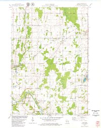
 2010 Stangelville2010 Print · USGSCovers West Kewaunee, including Franklin, Carlton, and other nearby areas
 - 2010 Map of Kewaunee, 2010 Print
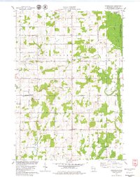
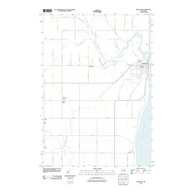 2010 Kewaunee2010 Print · USGSCovers West Kewaunee, including Kewaunee, Carlton, and other nearby areas
 - 2010 Map of Kewaunee OE E, 2010 Print
 2010 Kewaunee OE E2010 Print · USGSCovers West Kewaunee, including Kewaunee, Pierce, and other nearby areas
 - 2010 Map of Luxemburg, 2010 Print
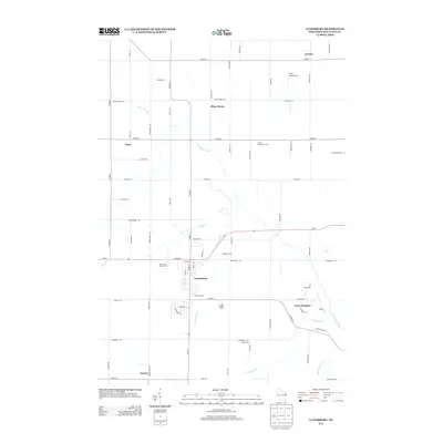
 2010 Luxemburg2010 Print · USGSCovers West Kewaunee, including Luxemburg, Lincoln, and other nearby areas
 - 2010 Map of Casco, 2010 Print
 2010 Casco2010 Print · USGSCovers West Kewaunee, including Lincoln, Casco, and other nearby areas
 - 2013 Map of Luxemburg, 2013 Print
 2013 Luxemburg2013 Print · USGSCovers West Kewaunee, including Luxemburg, Lincoln, and other nearby areas
 - 2013 Map of Stangelville, 2013 Print
 2013 Stangelville2013 Print · USGSCovers West Kewaunee, including Franklin, Carlton, and other nearby areas
 - 2013 Map of Kewaunee OE E, 2013 Print
 2013 Kewaunee OE E2013 Print · USGSCovers West Kewaunee, including Kewaunee, Pierce, and other nearby areas
 - 2013 Map of Kewaunee, 2013 Print
 2013 Kewaunee2013 Print · USGSCovers West Kewaunee, including Kewaunee, Carlton, and other nearby areas
 - 2013 Map of Casco, 2013 Print
 2013 Casco2013 Print · USGSCovers West Kewaunee, including Lincoln, Casco, and other nearby areas
 - 2015 Map of Stangelville, 2015 Print
 2015 Stangelville2015 Print · USGSCovers West Kewaunee, including Franklin, Carlton, and other nearby areas
 - 2015 Map of Casco, 2015 Print
 2015 Casco2015 Print · USGSCovers West Kewaunee, including Lincoln, Casco, and other nearby areas
 - 2015 Map of Luxemburg, 2015 Print
 2015 Luxemburg2015 Print · USGSCovers West Kewaunee, including Luxemburg, Lincoln, and other nearby areas
 - 2015 Map of Kewaunee OE E, 2015 Print
 2015 Kewaunee OE E2015 Print · USGSCovers West Kewaunee, including Kewaunee, Pierce, and other nearby areas
 - 2015 Map of Kewaunee, 2015 Print
 2015 Kewaunee2015 Print · USGSCovers West Kewaunee, including Kewaunee, Carlton, and other nearby areas
Showing maps 1-25 of 35
Top cities near West Kewaunee
- Algoma historical maps
- Kewaunee historical maps
- Luxemburg historical maps
- Humboldt historical maps
- Mishicot historical maps
- Cooperstown historical maps
See more
Top neighborhoods of West Kewaunee
Frequently asked questions
- What are the different types of historical maps available for West Kewaunee?
- What is the oldest map of West Kewaunee?
- Where can I purchase historical maps of West Kewaunee for my home or office?
- Where can I download high-res historical maps of West Kewaunee?
- Are there historical topographic maps available for West Kewaunee?
- Is there historical aerial imagery available for West Kewaunee?
- Where are historical maps of West Kewaunee sourced from?