Old Maps of Langlade, Wisconsin
Explore 42 old maps of Langlade, spanning from 1942 to today. These high-resolution historic maps reveal how streets, neighborhoods, landmarks, and natural features evolved over time — perfect for genealogy, metal detecting, research, and local history exploration.
What you can do with these maps:
- See how Langlade changed over time: Compare historical maps to modern-day views to trace roads, homesites, rail lines & more.
- View detailed metadata: Each map includes creators, publishers, year, scale, and archive source.
- Overlay maps with satellite & LiDAR: Visualize the past alongside modern tools to explore terrain & human change.
- Trusted historical sources: Maps sourced from the USGS, Library of Congress, and other archives.
- Access maps your way: View online, download high-res files, or order prints for personal or research use.
Start exploring old maps of Langlade to uncover forgotten places, hidden landmarks, and the deep history beneath your feet.
Langlade, WI maps
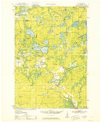
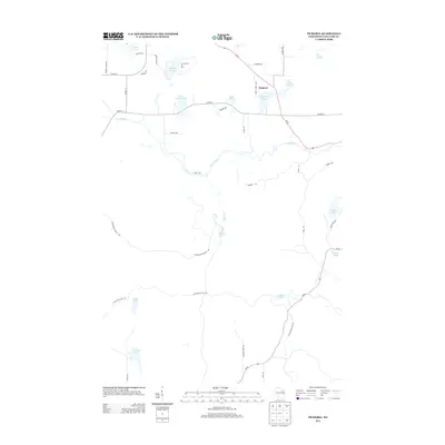
(42)- 1942 Map of Pearson
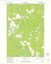
 1942 Pearson1942 Print · USGSNorthern Wisconsin lake country and timberlands are shown in the early 1940s as rail transit still defined the local economy. Genealogists and historians can trace rail stops like Jones Spur, the Woodlawn Sch, and the settlement at Mole Lake.
 - 1950 Map of Lily, 1952 Print
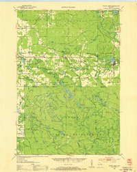
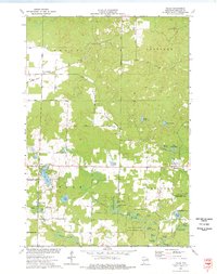
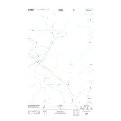
 1950 Lily1952 Print · USGSWisconsin’s northwoods are documented here at mid-century, showing the timber and rail landscape across Langlade and Forest Counties. Genealogists and historians can locate community sites like Pearson Cem, the Arbutus Sch, and the rail stop at Lily.3 unique versions available
 - 1952 Map of White Lake, 1955 Print
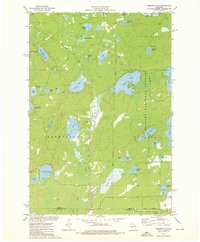
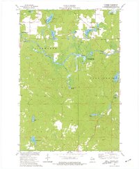
 1952 White Lake1955 Print · USGSUpper Wisconsin timberlands and tribal lands meet in the early fifties, showing a region defined by forestry and the Wolf River. You can trace the Chicago and North Western rail line through rural outposts like Sherry Junction, Elton, and Hollister.2 unique versions available
 - 1954 Map of Iron Mountain, 1964 Print
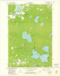
 1954 Iron Mountain1964 Print · USGSUpper Michigan and Northeastern Wisconsin are shown in detail during the mid-fifties, when the logging and mining economies still moved by rail. Trace the rail lines of the Soo Line to remote stops like Koepenick Station or explore the Iron Range near Iron Mountain.2 unique versions available
 - 1959 Map of Iron Mountain
 1959 Iron Mountain1959 Print · USGSThe northwoods of Wisconsin and the Michigan border are captured here in the mid-fifties, showing a landscape defined by timber, water, and rail. Researchers can trace historic junctions like Hiles Junction, the expansive Nicolet National Forest, and lakefront settlements from Rhinelander to Tomahawk.2 unique versions available
 - 1973 Map of Roberts Lake, 1976 Print
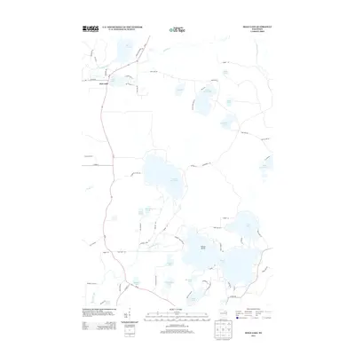
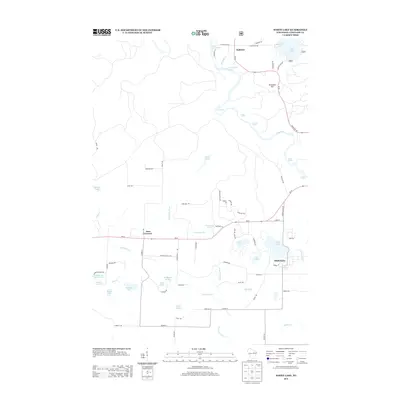
 1973 Roberts Lake1976 Print · USGSNorthern Forest County in the early seventies reveals a landscape defined by glacial lakes and the timber-hauling lines of the Soo Line. Genealogists and historians can trace small crossroads like Woodlawn and Freedom Corners tucked between Roberts Lake and the Bog Brook State Wildlife Area.2 unique versions available
 - 1973 Map of Mole Lake, 1976 Print
 1973 Mole Lake1976 Print · USGSThe Mole Lake region of northern Wisconsin is shown in the 1970s as a landscape of glacial lakes and reservation lands. Researchers can trace the Soo Line rail corridor or locate landmarks like the Lookout Tower and Kingdom Hall.
 - 1973 Map of Lily, 1977 Print
 1973 Lily1977 Print · USGSLanglade County's river-driven landscape is captured here in the early seventies, showing the junction of the Wolf River and Lily River. Local researchers can trace the Soo Line rail corridor through Hollister and find landmarks like Lily Cem and Poor Farm Spring.
 - 1973 Map of Polar, 1977 Print
 1973 Polar1977 Print · USGSLanglade County in the early seventies reveals a landscape of spring-fed flowages and quiet settlements. Researchers can trace the Old Railroad Grade past Sherry Junction or locate family sites near the Sherry Cem and Elton.
 - 1973 Map of Pickerel, 1977 Print
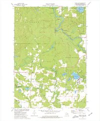
 1973 Pickerel1977 Print · USGSLanglade County's water-rich landscape is captured here in the early seventies as the Wolf River winds through Ainsworth and Price. Researchers can trace the Old Railroad Grade, locate the Pearson Cem, or find local landmarks like New St Johns Ch.
 - 1973 Map of White Lake, 1977 Print
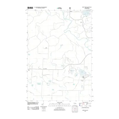
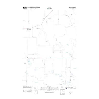
 1973 White Lake1977 Print · USGSLanglade County's river-driven landscape is captured here in the early 1970s, showcasing the village of White Lake and the settlement of Hollister. Genealogists and historians can trace the Old Railroad Grade and locate local landmarks like St James Cem or the Brown Cem.
 - 1990 Map of Wabeno, 1991 Print
 1990 Wabeno1991 Print · USGSThe Wisconsin Northwoods in the early nineties is a landscape of deep timber, tribal lands, and glacial lakes. Researchers can trace the Chicago and North Western rail line through lumber towns like Wabeno and Townsend or locate the Lakewood State Fish Hatchery.
 - 2010 Map of Pickerel, 2010 Print
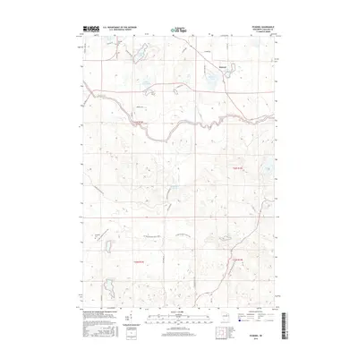
 2010 Pickerel2010 Print · USGSCovers Langlade, including Price, Ainsworth, and other nearby areas
 - 2010 Map of Mole Lake, 2010 Print
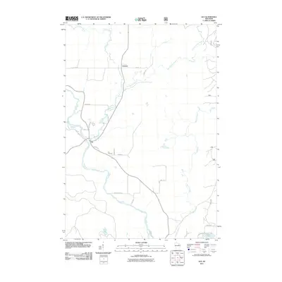
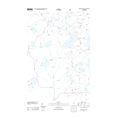
 2010 Mole Lake2010 Print · USGSCovers Langlade, including Nashville, Ainsworth, and other nearby areas
 - 2010 Map of Polar, 2010 Print
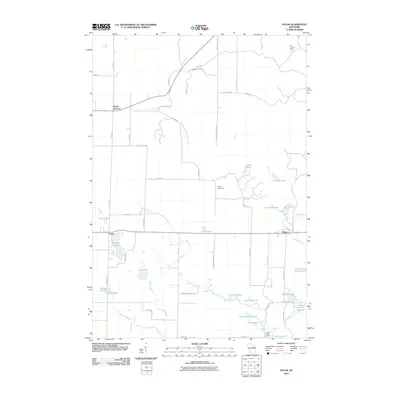 2010 Polar2010 Print · USGSCovers Langlade, including Polar, Evergreen, and other nearby areas
 - 2011 Map of Lily, 2011 Print
 2011 Lily2011 Print · USGSCovers Langlade, including Freeman, Lily, and other nearby areas
 - 2011 Map of White Lake, 2011 Print
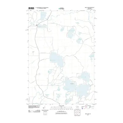
 2011 White Lake2011 Print · USGSCovers Langlade, including White Lake, Evergreen, and other nearby areas
 - 2011 Map of Roberts Lake, 2011 Print
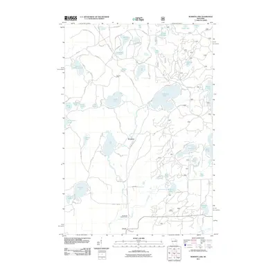 2011 Roberts Lake2011 Print · USGSCovers Langlade, including Laona, Nashville, and other nearby areas
 - 2013 Map of Mole Lake, 2013 Print
 2013 Mole Lake2013 Print · USGSCovers Langlade, including Nashville, Ainsworth, and other nearby areas
 - 2013 Map of Roberts Lake, 2013 Print
 2013 Roberts Lake2013 Print · USGSCovers Langlade, including Laona, Nashville, and other nearby areas
 - 2013 Map of Pickerel, 2013 Print
 2013 Pickerel2013 Print · USGSCovers Langlade, including Price, Ainsworth, and other nearby areas
 - 2013 Map of Lily, 2013 Print
 2013 Lily2013 Print · USGSCovers Langlade, including Freeman, Lily, and other nearby areas
 - 2013 Map of White Lake, 2013 Print
 2013 White Lake2013 Print · USGSCovers Langlade, including White Lake, Evergreen, and other nearby areas
 - 2013 Map of Polar, 2013 Print
 2013 Polar2013 Print · USGSCovers Langlade, including Polar, Evergreen, and other nearby areas
 - 2015 Map of Pickerel, 2015 Print
 2015 Pickerel2015 Print · USGSCovers Langlade, including Price, Ainsworth, and other nearby areas
Showing maps 1-25 of 42
Top cities near Langlade
- Laona historical maps
- Elcho historical maps
- Wabeno historical maps
- Nashville historical maps
- Townsend historical maps
- Polar historical maps
See more
Top neighborhoods of Langlade
Frequently asked questions
- What are the different types of historical maps available for Langlade?
- What is the oldest map of Langlade?
- Where can I purchase historical maps of Langlade for my home or office?
- Where can I download high-res historical maps of Langlade?
- Are there historical topographic maps available for Langlade?
- Is there historical aerial imagery available for Langlade?
- Where are historical maps of Langlade sourced from?