
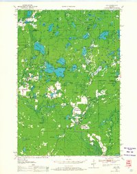
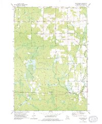
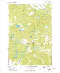
1942 Map of Pearson
USGS Topo · Published 1942About this map
The Minneapolis Sault Ste Marie and Atlantic RR cuts a path through this timber-rich borderland between Forest and Langlade Counties. This advance sheet, compiled from 1940 aerial photography, reveals a landscape defined by its glacial lakes and the industries that relied on them. Small rail stops like Jones Spur and Pine Snow Siding indicate the area's role in the regional lumber economy, while the presence of the Woodlawn Sch near Lily L points to a growing community in the Northwoods. A notable feature of this map is the large "Unsurveyed Area" in the southern half, reflecting the ongoing nature of topographical mapping in this era. The dense network of water bodies, including Roberts Lake, Pickerel Lake, and Crane Lake, highlights the importance of these lakes for both early settlement and local transit.
Find a feature on this map
51 named features on this map. Tap any name to fly to it.
Don’t see what you’re looking for? This feature index may not catch every label — zoom into the map to look around manually.
Map Details
Editions of this 1942 Pearson Map
This is the sole edition of this map. No revisions or reprints were ever made.
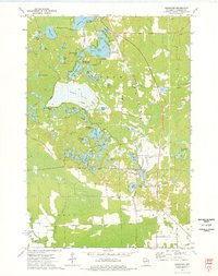
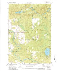
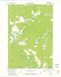
Historical Maps of Laona Through Time
27 maps found

1940 Parrish
Langlade County, WI
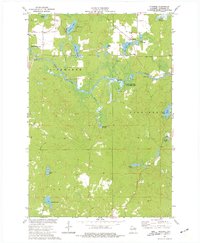
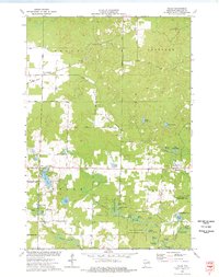
1942 Pearson
Langlade County, WI
1950 Lily
Langlade County, WI
1950 Parrish
Langlade County, WI

1952 Parrish
Langlade County, WI
1972 Reservoir Pond
Langlade County, WI
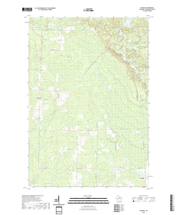
1973 Bavaria
Langlade County, WI
1973 Black Brook
Langlade County, WI

1973 Bryant
Langlade County, WI

1973 Enterprise
Langlade County, WI
1973 Kempster
Langlade County, WI
1973 Langlade
Langlade County, WI
1973 Lily
Langlade County, WI
1973 Pearson
Langlade County, WI
1973 Pickerel
Langlade County, WI
1973 Polar
Langlade County, WI
2022 Bavaria
Langlade County, WI
2022 Black Brook
Langlade County, WI
2022 Bryant
Langlade County, WI
2022 Enterprise
Langlade County, WI
2022 Langlade
Langlade County, WI
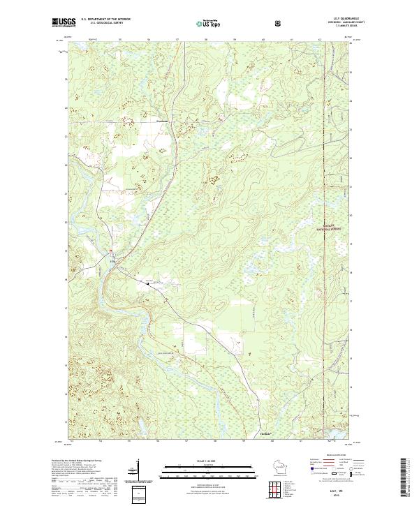
2022 Lily
Langlade County, WI
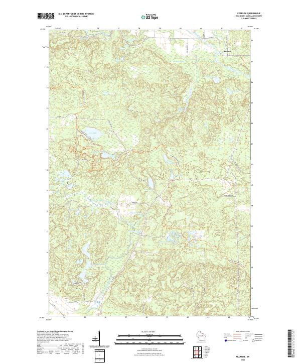
2022 Pearson
Langlade County, WI
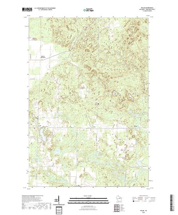
2022 Polar
Langlade County, WI
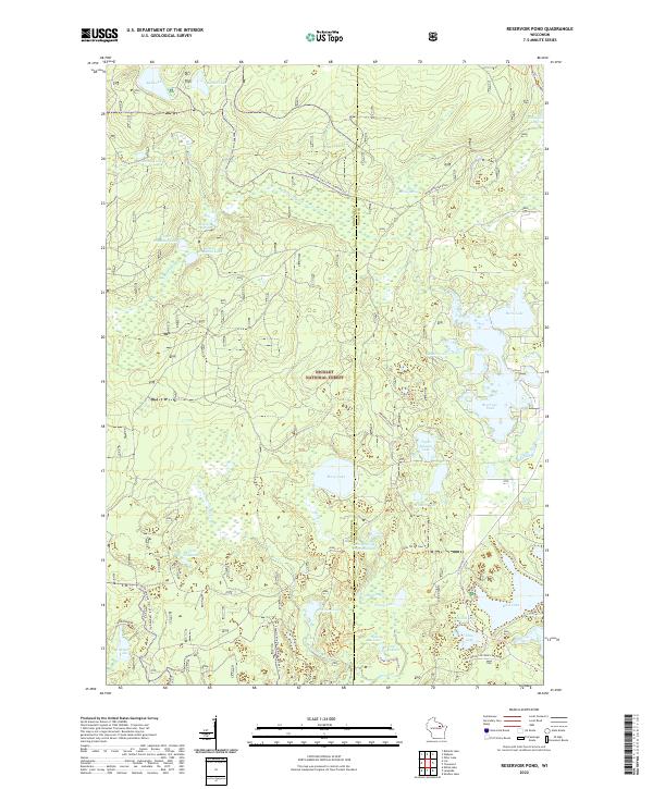
2022 Reservoir Pond
Langlade County, WI
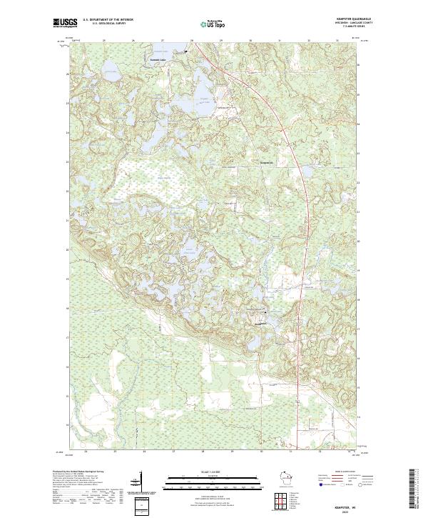
2023 Kempster
Langlade County, WI
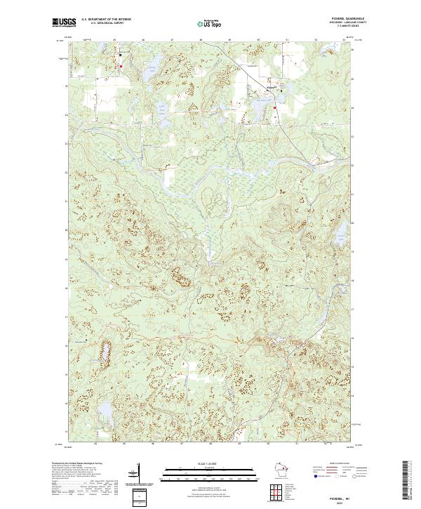
2023 Pickerel
Langlade County, WI