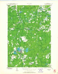
1946 Map of Laona
USGS Topo · Published 1946About this map
Laona and Blackwell anchor this mid-century survey of the Nicolet National Forest, revealing a landscape defined by the timber economy and water systems. The Peshtigo River and Rat River wind through the terrain, while the intersection of the Minneapolis St Paul and Sault Ste Marie and Chicago and Northwestern railroads at Cavour and Blackwell Junction highlights the critical role of rail transport in the Northwoods. Small settlements like Newald are positioned near specialized landmarks such as the Newald Fire Tower and Laona Fire Tower, which were essential for managing the vast timberlands. The presence of a CCC Camp reflects the legacy of Depression-era conservation work, while the Silver Lake Golf Course near Silver Lake suggests the emergence of local recreation alongside the established industrial and forestry operations of Forest and Florence counties.
Find a feature on this map
44 named features on this map. Tap any name to fly to it.
Don’t see what you’re looking for? This feature index may not catch every label — zoom into the map to look around manually.
Map Details
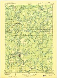
Editions of this 1946 Laona Map
This is the sole edition of this map. No revisions or reprints were ever made.
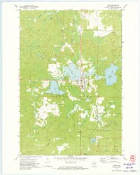
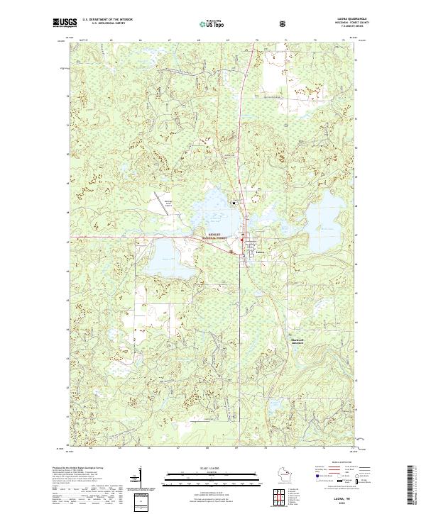
Historical Maps of Laona Through Time
4 maps found