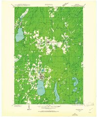
1947 Map of Crandon
USGS Topo · Published 1947About this map
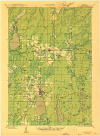
The timber and rail landscape of Forest County is defined here by the intersection of the Minneapolis St Paul and Sault Ste Marie and Chicago and Northwestern railroads. Centered on the town of Crandon, the map reveals a network of rural education and industry, from the timber-watch of the Hiles Fire Tower to localized rural schoolhouses like Range Sch and Siding No 1 Sch. The northern settlement of Hiles is situated near Hiles Mill Pond, while Argonne serves as another key rail node.
Find a feature on this map
60 named features on this map. Tap any name to fly to it.
Don’t see what you’re looking for? This feature index may not catch every label — zoom into the map to look around manually.
Map Details
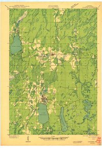
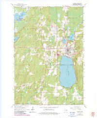
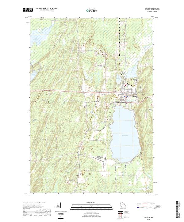
Editions of this 1947 Crandon Map
This is the sole edition of this map. No revisions or reprints were ever made.
Historical Maps of Crandon Through Time
5 maps found