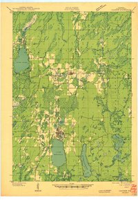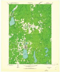
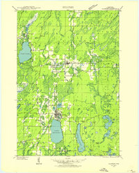
1939 Map of Crandon
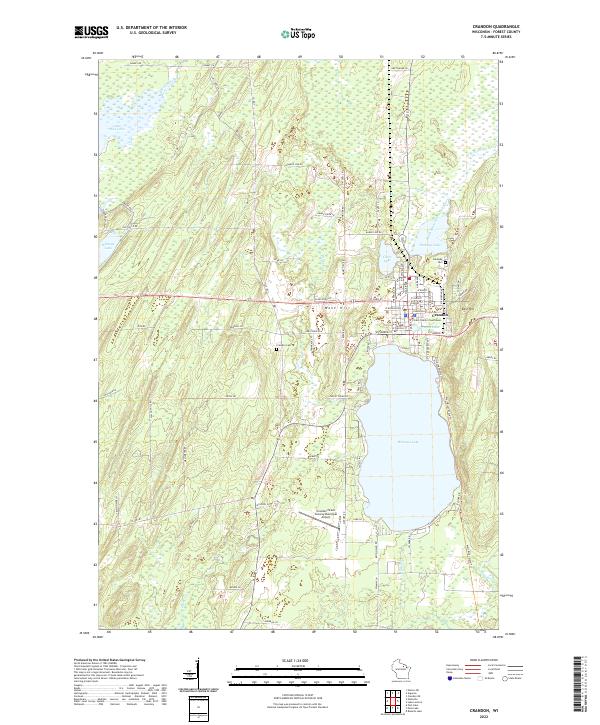
USGS Topo · Published 1961About this map
Crandon serves as the focal point for this late 1930s landscape, situated at the intersection of a developing road network and two major railroads. The presence of the Minneapolis St Paul and Sault Ste Marie and the Chicago and Northwestern lines suggests an economy deeply tied to the movement of timber and goods through the Northwoods. Large water bodies like Lake Metonga, Pine Lake, and Lake Lucerne dominate the southern and western portions, while the northern reaches are defined by the winding headwaters of the Peshtigo River. This era shows a transition from raw wilderness to a more settled rural patchwork, as evidenced by a high density of one-room schoolhouses such as Range Sch and Siding No 1 Sch that supported isolated logging and farming families within the Nicolet National Forest.
Find a feature on this map
56 named features on this map. Tap any name to fly to it.
Don’t see what you’re looking for? This feature index may not catch every label — zoom into the map to look around manually.
Map Details
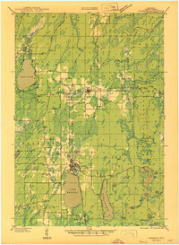
Editions of this 1939 Crandon Map
2 editions found
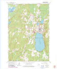
Historical Maps of Crandon Through Time
5 maps found