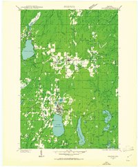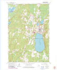
1965 Map of Crandon
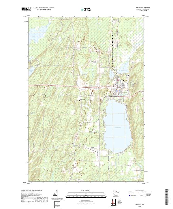
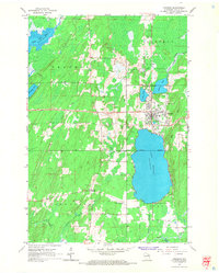
USGS Topo · Published 1983About this map
Lake Metonga dominates the landscape south of the town of Crandon, where the municipal grid meets the northern shoreline. This mid-1960s survey, updated with early 1980s aerial revisions, illustrates a community deeply integrated with its surrounding water and terrain. The town is flanked by West Hill and East Hill, with local landmarks like the County Fairground and Lakeside Cem situated near the intersection of major routes. The presence of Crandon Municipal Airfield and a Pipeline corridor indicates the infrastructure supporting this Forest County hub during the late 20th century.
Find a feature on this map
34 named features on this map. Tap any name to fly to it.
Don’t see what you’re looking for? This feature index may not catch every label — zoom into the map to look around manually.
Map Details
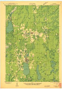
Editions of this 1965 Crandon Map
2 editions found
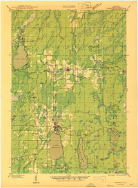
Historical Maps of Crandon Through Time
5 maps found