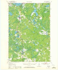
1942 Map of Elcho
USGS Topo · Published 1942About this map
Pelican Lake dominates the northern reaches of this 1940s survey, a landscape defined by its complex waterway network at the intersection of Oneida, Langlade, and Forest Counties. The map reveals the early rural infrastructure of Enterprise, where local life centered around the Enterprise Sch, St Johns Ch, and the Enterprise Cem. Further east, the townships of Schoepke and Nashville are marked by a transition from wetland features like Pelican Marsh to open water bodies such as Post Lake and Bishop Lake. A significant portion of this sheet remains an Unsurveyed Area, indicating the frontier-like state of the Northwoods during this era. The density of schools like Panka Sch and named landmarks such as Antigo Island provide valuable anchor points for researchers tracing the early settlement patterns and family holdings of these lake-strewn northern Wisconsin districts.
Find a feature on this map
23 named features on this map. Tap any name to fly to it.
Don’t see what you’re looking for? This feature index may not catch every label — zoom into the map to look around manually.
Map Details
Editions of this 1942 Elcho Map
This is the sole edition of this map. No revisions or reprints were ever made.
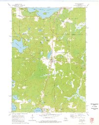
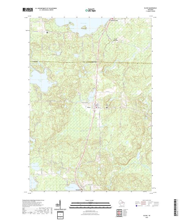
Historical Maps of Elcho Through Time
4 maps found