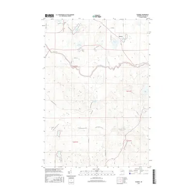
2015 Map of Pickerel
USGS Topo · Published 2015About this map
The Wolf River winds through this section of Langlade County, carving a serpentine path through a landscape defined by glacial activity and numerous freshwater bodies. This 2015 survey shows the settlement of Pickerel at the junction of Co Hwy DD and Pickerel Creek Rd, situated between Little Twin Lake and Big Twin Lake. The presence of Pearson Cem and Evergreen Cem offers fixed points for genealogical research, while the Ice Age National Scenic Trail traverses the southern half of the map, tracing the terminal moraine geography of the region.
Find a feature on this map
41 named features on this map. Tap any name to fly to it.
Don’t see what you’re looking for? This feature index may not catch every label — zoom into the map to look around manually.
Map Details
Editions of this 2015 Pickerel Map
This is the sole edition of this map. No revisions or reprints were ever made.
Other maps of this area

1942 · Elcho
USGS Topo · 1:48,000

1942 · Pearson
USGS Topo · 1:48,000

1950 · Elcho
USGS Topo · 1:48,000

1950 · Lily
USGS Topo · 1:48,000

1952 · Antigo
USGS Topo · 1:48,000

1952 · White Lake
USGS Topo · 1:48,000

1954 · Iron Mountain
USGS Topo · 1:250,000

1959 · Iron Mountain
USGS Topo · 1:250,000
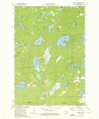
1973 · Roberts Lake
USGS Topo · 1:24,000
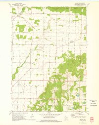
1973 · Bryant
USGS Topo · 1:24,000