2000s (21st Century) Maps of Berlin, Wisconsin
Explore 10 historic maps of Berlin from the 2000s (21st Century). These maps offer a rare glimpse into what life looked like during the 2000s — showing old roads, neighborhoods, homes, and landmarks that have changed or disappeared over time.
Whether you're researching your family's past, planning a metal detecting trip, or studying how Berlin's landscape evolved across the 2000s, these high-resolution maps are a powerful tool for exploring the history of this region.
- Focus on a specific era: All maps on this page are from the 2000s, giving you a focused view of this time period.
- See what’s changed: Compare century-old streets, trails, and buildings to today's modern landscape using overlays and satellite layers.
- Research with precision: Use these maps for genealogy, historical research, land use analysis, or educational projects.
- View, download, or print: Maps are fully viewable online in high resolution, and can be downloaded or printed for your own records.
Start exploring Berlin's history through authentic maps from the 2000s. This is your window into the past.
Berlin, WI maps
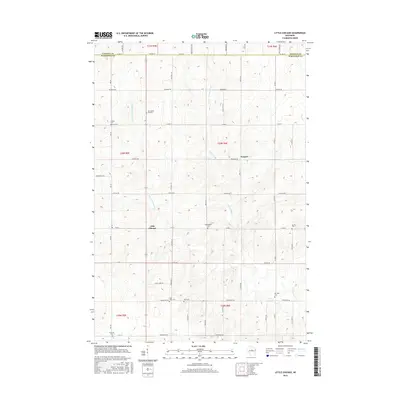
(10)- 2010 Map of Little Chicago, 2010 Print
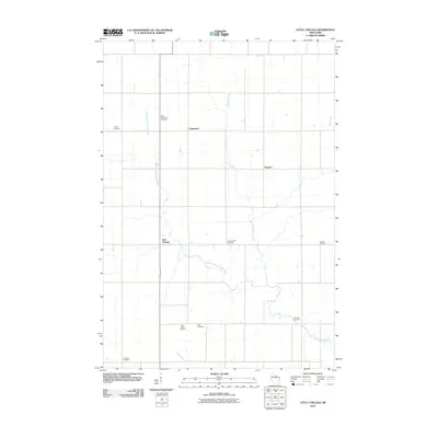 2010 Little Chicago2010 Print · USGSCovers Berlin, including Hamburg, Corning, and other nearby areas
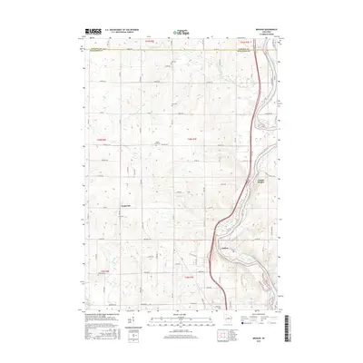
 - 2010 Map of Brokaw, 2010 Print
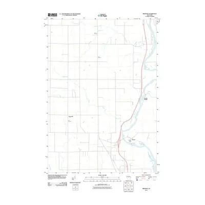 2010 Brokaw2010 Print · USGSCovers Berlin, including Wausau, Maine, and other nearby areas
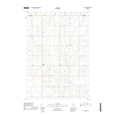
 - 2013 Map of Little Chicago, 2013 Print
 2013 Little Chicago2013 Print · USGSCovers Berlin, including Hamburg, Corning, and other nearby areas
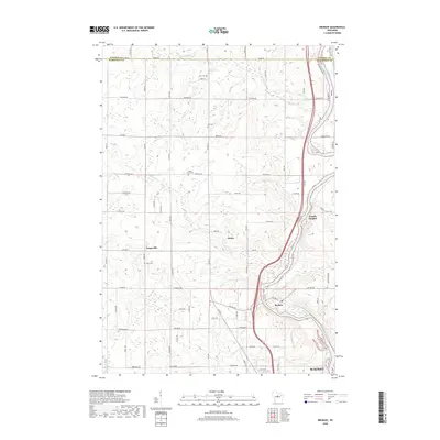
 - 2013 Map of Brokaw, 2013 Print
 2013 Brokaw2013 Print · USGSCovers Berlin, including Wausau, Maine, and other nearby areas
 - 2015 Map of Little Chicago, 2015 Print
 2015 Little Chicago2015 Print · USGSCovers Berlin, including Hamburg, Corning, and other nearby areas
 - 2015 Map of Brokaw, 2015 Print
 2015 Brokaw2015 Print · USGSCovers Berlin, including Wausau, Maine, and other nearby areas
 - 2018 Map of Little Chicago, 2018 Print
 2018 Little Chicago2018 Print · USGSCovers Berlin, including Hamburg, Corning, and other nearby areas
 - 2018 Map of Brokaw, 2018 Print
 2018 Brokaw2018 Print · USGSCovers Berlin, including Wausau, Maine, and other nearby areas
 - 2022 Map of Brokaw, 2022 Print
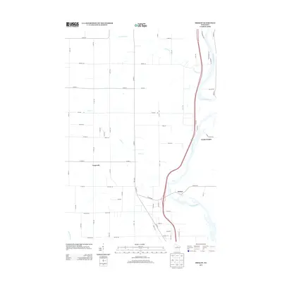
 2022 Brokaw2022 Print · USGSMarathon County in the modern era maintains its deep connection to the Wisconsin River and its rural roots. Researchers can trace historic family burial sites at Maple Grove Cem or explore the river-hugging settlements of Brokaw and Granite Heights.
 - 2022 Map of Little Chicago, 2022 Print
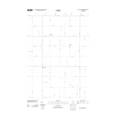
 2022 Little Chicago2022 Print · USGSMarathon County is shown in detail here during the 2020s, revealing a landscape of winding river forks and rural crossroads. You can trace local family history through several burial sites like Friedenshain Cem and Zion Cem near the settlement of Naugart.
End of results
Showing maps 1-10 of 10
Top cities near Berlin
- Wausau historical maps
- Weston historical maps
- Merrill historical maps
- Kronenwetter historical maps
- Rib Mountain historical maps
- Rothschild historical maps
See more
Top neighborhoods of Berlin
Frequently asked questions
- What are the different types of historical maps available for Berlin?
- What is the oldest map of Berlin?
- Where can I purchase historical maps of Berlin for my home or office?
- Where can I download high-res historical maps of Berlin?
- Are there historical topographic maps available for Berlin?
- Is there historical aerial imagery available for Berlin?
- Where are historical maps of Berlin sourced from?