Old Maps of Green Valley, Wisconsin for Genealogy
Trace your family roots with 30 historic maps of Green Valley. These high-res maps reveal old neighborhoods, homesites, landmarks, and streets — helping you uncover where your ancestors lived and how the area evolved over time.
- Explore historic neighborhoods: Identify where your relatives may have lived in the 1800s or 1900s.
- Compare maps over time: Trace the changes in streets, buildings, and landmarks for multi-generational research.
- Perfect for genealogy & ancestry research: Used by family historians and researchers to map out lineage and migration.
These maps are an incredible resource for exploring your personal connection to Green Valley's past.
Green Valley, WI maps
(30)- 1902 Map of Marathon, 1938 Print
 1902 Marathon1938 Print · USGSMarathon County is captured here at the height of the timber era, when a dense network of logging railroads and new settlements defined the central Wisconsin woods. Genealogists and historians can trace early town sites like Athens, Rib Falls, and the specialized Connors Logging R. R.
 - 1953 Map of Marathon, 1955 Print
 1953 Marathon1955 Print · USGSMarathon County's agricultural and river heartland is documented here in the early fifties, centering on the villages of Marathon and Edgar. Local historians can trace a dense network of country schools and churches like Rib Falls Ch and the St Anthony Friary.
 - 1955 Map of Green Bay, 1968 Print
 1955 Green Bay1968 Print · USGSCentral and Eastern Wisconsin are captured here in the mid-fifties, showing the industrial growth of the Fox Valley and Wisconsin River corridors. Genealogists and historians can trace rail lines like the Green Bay and Western through settlements like Weyauwega, Clintonville, and Pulaski.2 unique versions available
 - 1956 Map of Milladore, 1958 Print
 1956 Milladore1958 Print · USGSIn the mid-fifties, this section of Wood County was a busy crossroads for the Soo Line and Milwaukee Road railroads. Genealogists can trace a lost network of rural education through sites like Steppingstone Sch, Lone Elm Sch, and the Runkle Sch.
 - 1963 Map of Marathon, 1964 Print
 1963 Marathon1964 Print · USGSMarathon County in the early sixties is a landscape of established dairy farms and developing recreation areas. Researchers can trace the rail-side growth of Edgar and Marathon City or locate rural landmarks like Daisy Dell Sch and Sacred Heart Ch Cem.
 - 1970 Map of Honey Island, 1972 Print
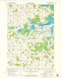 1970 Honey Island1972 Print · USGSThe Marathon and Wood County borderlands appear here in the early 1970s, showcasing the extensive flowage systems of the George W Mead State Wildlife Management Area. Genealogists and local historians can trace family locations near Rangeline, Townhall, and the Cem Grace Ch.
 - 1970 Map of Big Eau Pleine Reservoir, 1984 Print
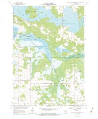 1970 Big Eau Pleine Reservoir1984 Print · USGSMarathon and Portage counties were defined by extensive wetland management and conservation efforts in the early seventies. Genealogists and outdoorsmen can trace landmarks like Runkle Cem, Big Eau Pleine County Park, and the winding Little Eau Pleine River.
 - 1981 Map of Marathon SW, 1982 Print
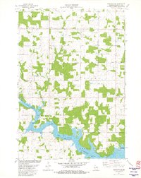 1981 Marathon SW1982 Print · USGSMarathon County in the early eighties centers on the expansive waters of the Big Eau Pleine Reservoir and the rural townships of Wien and Cassel. Researchers can trace old property lines and rural landmarks like Rocky Run, a localized Quarry, and the C & N W railroad line.
 - 1981 Map of Halder, 1982 Print
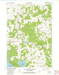 1981 Halder1982 Print · USGSMarathon County’s rural landscape is captured here in the early eighties, defined by the expansion of the Big Eau Pleine Reservoir. Genealogists and local historians can locate St Patricks Ch in Halder and trace the many Quarries that dotted these woodlots.
 - 1984 Map of Wausau, 1990 Print
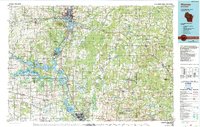 1984 Wausau1990 Print · USGSMarathon and Portage counties come into focus during the mid-eighties as industrial river towns and sprawling conservation areas define the Central Wisconsin landscape. Researchers can trace the rail corridors of the Soo Line or locate rural landmarks like Rib Mountain State Park and St Marys Cem.
 - 2010 Map of Halder, 2010 Print
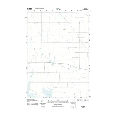 2010 Halder2010 Print · USGSMarathon County's rural landscape is captured here in the early twenty-first century, showing the interface between the Big Eau Pleine Reservoir and local farmsteads. Researchers can trace family history through labels like Moon, Halder, and Scherrico Meadows Airport.
 - 2010 Map of Honey Island, 2010 Print
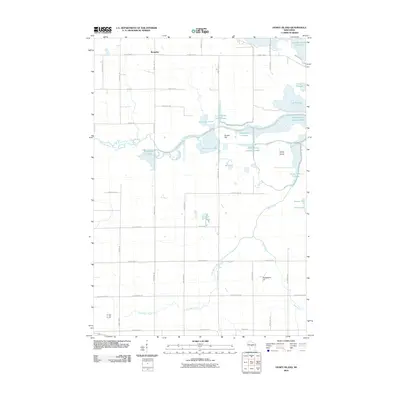 2010 Honey Island2010 Print · USGSThe Wood County marshlands and the Little Eau Pleine River are captured in 2010 as a managed landscape of flowages and reservoirs. Researchers can trace the boundaries of Honey Island and locate local landmarks like the Soapstone Pit and the settlement of Rangeline.
 - 2010 Map of Marathon SW, 2010 Print
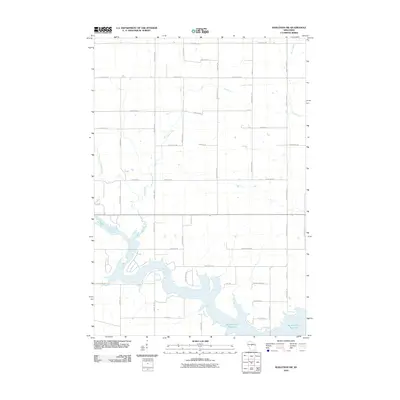 2010 Marathon SW2010 Print · USGSMarathon County’s dairy heartland is shown in the years following the turn of the millennium, centered on the sprawling waters of the Big Eau Pleine Reservoir. Genealogists and local historians can trace property access and family-named routes such as Wiesman Rd, Schnelle Rd, and Range Line Rd.
 - 2010 Map of Big Eau Pleine Reservoir, 2010 Print
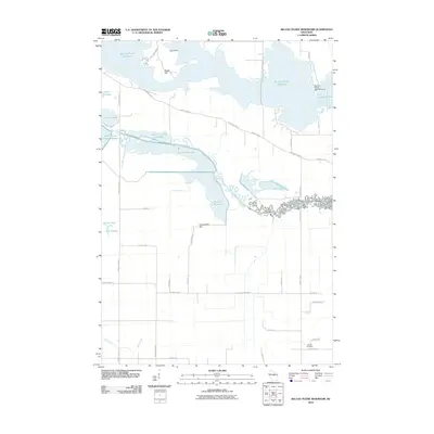 2010 Big Eau Pleine Reservoir2010 Print · USGSWisconsin's reservoir country comes into focus in this late-career survey of the Wood County area. Genealogists and local historians can locate the Runkle Cemetery or trace the complex series of waterways from Townline Reservoir to the Little Eau Pleine River.
 - 2013 Map of Marathon SW, 2013 Print
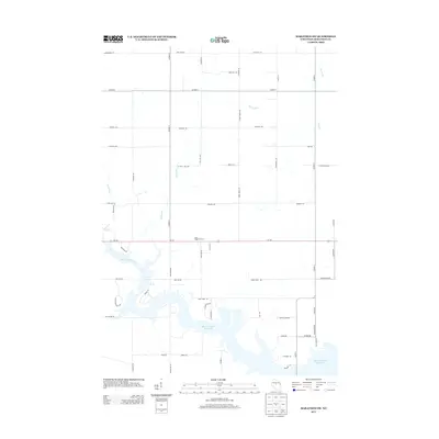 2013 Marathon SW2013 Print · USGSMarathon County's agricultural heartland is captured here in the early 2010s, defined by the expansive waters of the Big Eau Pleine Reservoir. Genealogists and local historians can trace rural property access via Still Hill Rd, Wiesman Rd, and the landmark Rock Ridge Orchard.
 - 2013 Map of Halder, 2013 Print
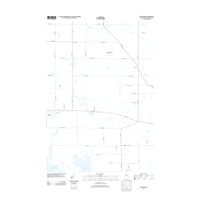 2013 Halder2013 Print · USGSMarathon County's agricultural heartland is documented here in the early twenty-first century, showing the enduring rural layout of central Wisconsin. Genealogists and local historians can trace family-named routes and small settlements like Halder, Moon, and the shores of the Big Eau Pleine Reservoir.
 - 2013 Map of Big Eau Pleine Reservoir, 2013 Print
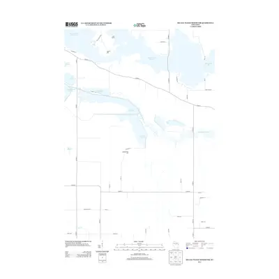 2013 Big Eau Pleine Reservoir2013 Print · USGSWisconsin's central flowage country is captured here during the early twenty-first century, showcasing a sophisticated network of managed waterways. Researchers can trace the complex drainage of the Little Eau Pleine River through Townline Flowage and past landmarks like Haumschild Hill.
 - 2013 Map of Honey Island, 2013 Print
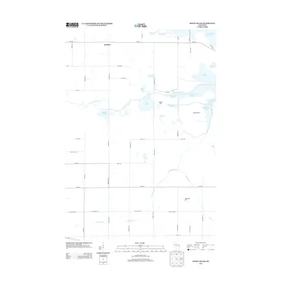 2013 Honey Island2013 Print · USGSThe Honey Island region of Wisconsin was a complex network of managed waterways and rural settlements in the early 2010s. Researchers can trace the river systems at Honey Island Flowage, locate the Soapstone Pit, and explore the roads around Rangeline.
 - 2015 Map of Big Eau Pleine Reservoir, 2015 Print
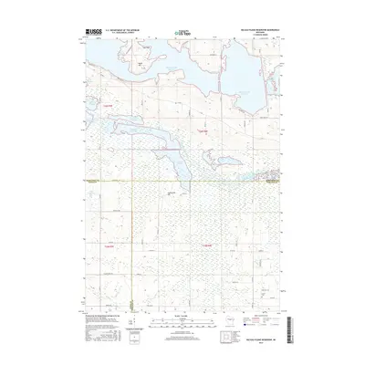 2015 Big Eau Pleine Reservoir2015 Print · USGSCentral Wisconsin's managed wetlands and water systems are on full display in the mid-2010s at the junction of Wood, Marathon, and Portage counties. Researchers can trace the layout of the Big Eau Pleine Reservoir and find local landmarks like Runkle Cem and Maple Hill.
 - 2015 Map of Halder, 2015 Print
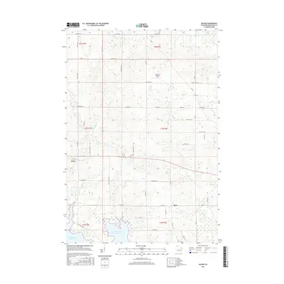 2015 Halder2015 Print · USGSMarathon County's rural townships are documented here during the mid-2010s as traditional agriculture meets modern infrastructure. Genealogists and local historians can locate family properties near the small settlements of Halder and Moon or along the shores of Big Eau Pleine Reservoir.
 - 2015 Map of Honey Island, 2015 Print
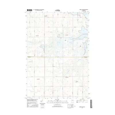 2015 Honey Island2015 Print · USGSThe border of Marathon and Wood Counties is defined by the managed wetlands of the Little Eau Pleine River in the mid-2010s. Researchers can trace the rural landscape near Rangeline and locate specific features like the Soapstone Pit and Sixteen Pool.
 - 2015 Map of Marathon SW, 2015 Print
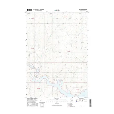 2015 Marathon SW2015 Print · USGSMarathon County is defined by the winding waters of the Big Eau Pleine in the mid-2010s. Genealogists and local historians can trace family-named routes and landmarks like Maguire Field, Still Hill Rd, and the banks of Rocky Run.
 - 2018 Map of Marathon SW, 2018 Print
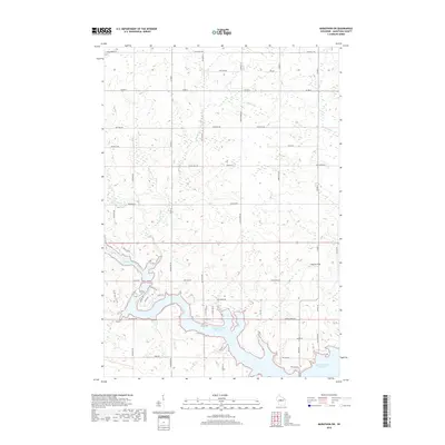 2018 Marathon SW2018 Print · USGSMarathon County’s rural dairy lands and water systems are captured here in the years following the millennium. Genealogists and local historians can trace family-named routes and landmarks like Maguire Field and the winding banks of the Big Eau Pleine Reservoir.
 - 2018 Map of Honey Island, 2018 Print
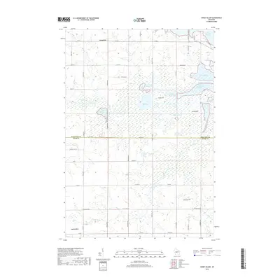 2018 Honey Island2018 Print · USGSThe borderlands of Marathon and Wood Counties appear here in a recent survey of their complex marshlands and flowages. Researchers can trace the hydrography of the Little Eau Pleine River, locate the Soapstone Pit, and explore the rural outskirts of Auburndale.
 - 2018 Map of Big Eau Pleine Reservoir, 2018 Print
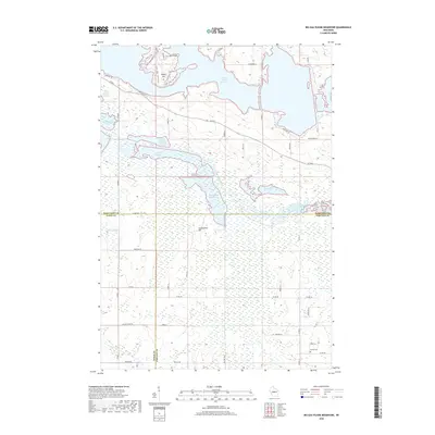 2018 Big Eau Pleine Reservoir2018 Print · USGSThe tri-county border area of Central Wisconsin is shown here in the late twenty-teens, defined by a massive complex of managed wetlands and reservoirs. Researchers can trace family sites near Runkle Cem or explore the shores of Townline Reservoir and Teal Flowage.
Showing maps 1-25 of 30
Top cities near Green Valley
- Wausau historical maps
- Marshfield historical maps
- Kronenwetter historical maps
- Rib Mountain historical maps
- Mosinee historical maps
- McMillan historical maps
See more
Top neighborhoods of Green Valley
Frequently asked questions
- What are the different types of historical maps available for Green Valley?
- What is the oldest map of Green Valley?
- Where can I purchase historical maps of Green Valley for my home or office?
- Where can I download high-res historical maps of Green Valley?
- Are there historical topographic maps available for Green Valley?
- Is there historical aerial imagery available for Green Valley?
- Where are historical maps of Green Valley sourced from?