Old Maps of Knowlton, Wisconsin for Hiking & Exploration
Hike through history with 31 historic maps of Knowlton. Explore old trails, ghost towns, and forgotten backroads — perfect for outdoor adventurers and local explorers.
- Rediscover forgotten places: Map out old mining camps, roads, and footpaths that no longer exist on modern maps.
- Layer with modern tools: Combine with LiDAR or satellite views to plan hikes through historical terrain.
- Made for exploration: Popular among hikers, overlanders, and local history lovers.
Use these maps to find adventure and explore the hidden past of Knowlton.
Knowlton, WI maps
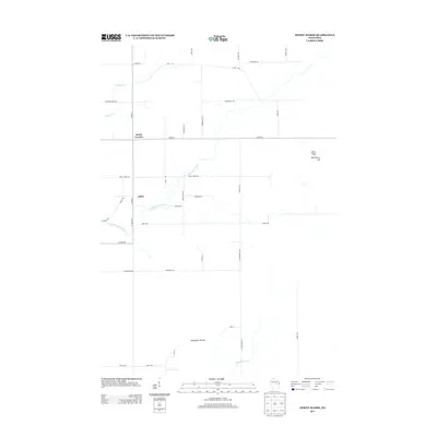
(31)- 1899 Map of Wausau, 1956 Print
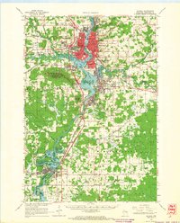
 1899 Wausau1956 Print · USGSMarathon County was a bustling timber and rail corridor at the turn of the century, anchored by the river power of Wausau and Merrill. Researchers can trace early logging lines like the Bull Dessert Logging R R and find vanished stops such as Dessert Junction and Nutterville.
 - 1902 Map of Wausau
 1902 Wausau1902 Print · USGSWisconsin’s timber and rail heartland is meticulously documented at the turn of the century as Wausau and Merrill expand along the river. Genealogists can trace early homesteads and rail stops like Schofield, Granite Heights, and the grounds of the State Insane Asylum.2 unique versions available
 - 1953 Map of Wausau, 1955 Print
 1953 Wausau1955 Print · USGSThe Wisconsin River valley comes alive in the early 1950s, showing the paper-mill towns and rugged peaks of Marathon County. Trace the development of Wausau and Mosinee or locate rural landmarks like the Mosinee Lookout Tower and St Agnes Ch.
 - 1955 Map of Green Bay, 1968 Print
 1955 Green Bay1968 Print · USGSCentral and Eastern Wisconsin are captured here in the mid-fifties, showing the industrial growth of the Fox Valley and Wisconsin River corridors. Genealogists and historians can trace rail lines like the Green Bay and Western through settlements like Weyauwega, Clintonville, and Pulaski.2 unique versions available
 - 1956 Map of Stevens Point, 1958 Print
 1956 Stevens Point1958 Print · USGSStevens Point and the central Wisconsin River valley are captured here in the mid-fifties during a period of significant educational and infrastructure growth. Researchers can locate numerous country schools and religious landmarks, from St Francis Ch to the State Teachers College and the Cranberry Bog.2 unique versions available
 - 1963 Map of Wausau, 1965 Print
 1963 Wausau1965 Print · USGSMarathon County’s river valley is caught in a moment of mid-century growth, centered on the bustling Wisconsin River industrial corridor. Genealogists and local historians can trace family locations near landmarks like St Agnes Ch Cem, the Mount View Sanatorium, and the small settlement of Peplin.2 unique versions available
 - 1970 Map of Dewey Marsh, 1972 Print
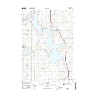
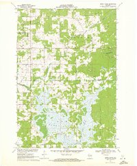 1970 Dewey Marsh1972 Print · USGSMarathon and Portage counties come together in the early 1970s within the extensive wetlands and winding river systems of Central Wisconsin. Local historians can trace the rural layout of Rocky Corners, the high point of Blackberry Hill, and the unique Philippine Islands within Dewey Marsh.2 unique versions available
 - 1970 Map of Dancy, 1972 Print
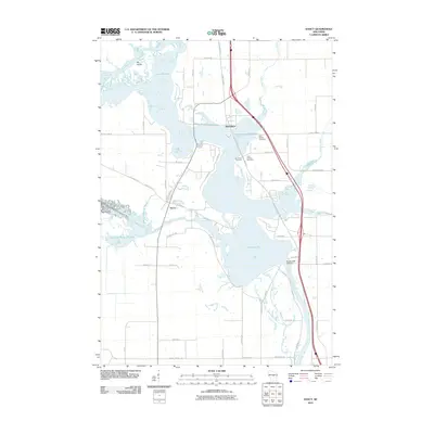
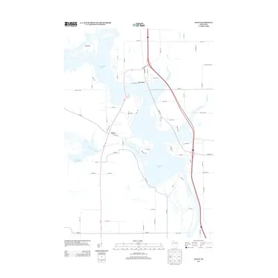
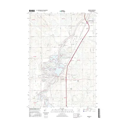
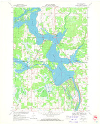 1970 Dancy1972 Print · USGSMarathon and Portage counties meet along the waters of Lake Du Bay in the early seventies, where the railroad still anchors local river towns. Genealogists and historians can trace the foundations of Knowlton and Dancy, locating landmarks like St Francis Ch and the Knowlton Sch.3 unique versions available
 - 1982 Map of Mosinee
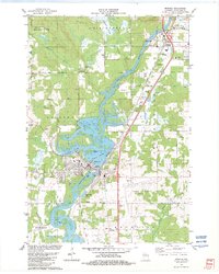 1982 Mosinee1982 Print · USGSCentral Wisconsin during the early eighties shows a landscape shaped by the Wisconsin River and growing aviation infrastructure. Genealogists and local historians can trace the foundations of Mosinee, identifying the Gate of Heaven Cem and the High Sch.
 - 1982 Map of Peplin
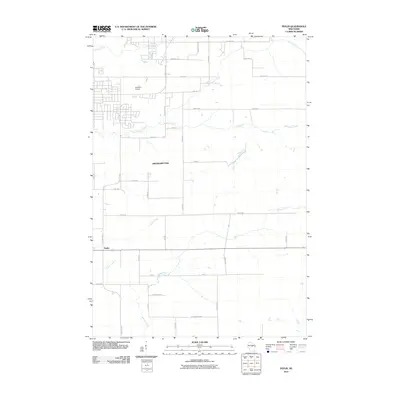
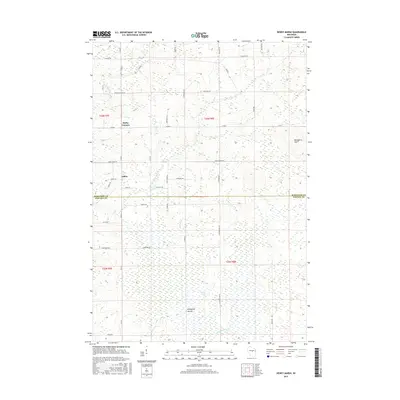
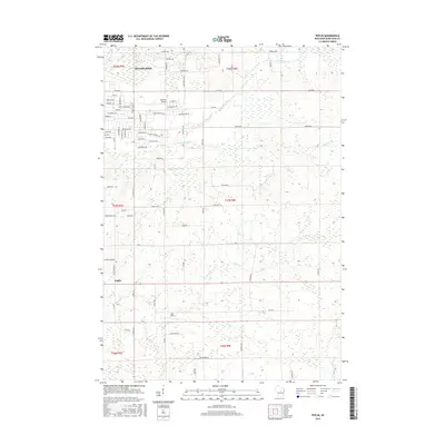
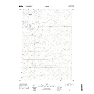
 1982 Peplin1982 Print · USGSThe rural landscape of Marathon County in the early eighties centers on the settlement of Peplin and its surrounding townships. Genealogists can locate St John the Baptist Ch, while others can trace industrial markers like the Benders Landing Strip and local Gravel Pits.
 - 1984 Map of Wausau, 1990 Print
 1984 Wausau1990 Print · USGSMarathon and Portage counties come into focus during the mid-eighties as industrial river towns and sprawling conservation areas define the Central Wisconsin landscape. Researchers can trace the rail corridors of the Soo Line or locate rural landmarks like Rib Mountain State Park and St Marys Cem.
 - 2010 Map of Dancy, 2010 Print
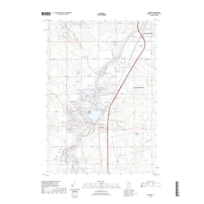
 2010 Dancy2010 Print · USGSCovers Knowlton, including Dewey, Dancy, and other nearby areas
 - 2010 Map of Peplin, 2010 Print
 2010 Peplin2010 Print · USGSCovers Knowlton, including Weston, Kronenwetter, and other nearby areas
 - 2010 Map of Dewey Marsh, 2010 Print
 2010 Dewey Marsh2010 Print · USGSCovers Knowlton, including Dewey, Ashley, and other nearby areas
 - 2010 Map of Mosinee, 2010 Print
 2010 Mosinee2010 Print · USGSCovers Knowlton, including Kronenwetter, Rib Mountain, and other nearby areas
 - 2013 Map of Peplin, 2013 Print
 2013 Peplin2013 Print · USGSCovers Knowlton, including Weston, Kronenwetter, and other nearby areas
 - 2013 Map of Dewey Marsh, 2013 Print
 2013 Dewey Marsh2013 Print · USGSCovers Knowlton, including Dewey, Ashley, and other nearby areas
 - 2013 Map of Mosinee, 2013 Print
 2013 Mosinee2013 Print · USGSCovers Knowlton, including Kronenwetter, Rib Mountain, and other nearby areas
 - 2013 Map of Dancy, 2013 Print
 2013 Dancy2013 Print · USGSCovers Knowlton, including Dewey, Dancy, and other nearby areas
 - 2015 Map of Dancy, 2015 Print
 2015 Dancy2015 Print · USGSCovers Knowlton, including Dewey, Dancy, and other nearby areas
 - 2015 Map of Dewey Marsh, 2015 Print
 2015 Dewey Marsh2015 Print · USGSCovers Knowlton, including Dewey, Ashley, and other nearby areas
 - 2015 Map of Peplin, 2015 Print
 2015 Peplin2015 Print · USGSCovers Knowlton, including Weston, Kronenwetter, and other nearby areas
 - 2015 Map of Mosinee, 2015 Print
 2015 Mosinee2015 Print · USGSCovers Knowlton, including Kronenwetter, Rib Mountain, and other nearby areas
 - 2018 Map of Mosinee, 2018 Print
 2018 Mosinee2018 Print · USGSCovers Knowlton, including Kronenwetter, Rib Mountain, and other nearby areas
 - 2018 Map of Peplin, 2018 Print
 2018 Peplin2018 Print · USGSCovers Knowlton, including Weston, Kronenwetter, and other nearby areas
Showing maps 1-25 of 31
Top cities near Knowlton
- Wausau historical maps
- Stevens Point historical maps
- Weston historical maps
- Kronenwetter historical maps
- Rib Mountain historical maps
- Rothschild historical maps
See more
Top neighborhoods of Knowlton
Frequently asked questions
- What are the different types of historical maps available for Knowlton?
- What is the oldest map of Knowlton?
- Where can I purchase historical maps of Knowlton for my home or office?
- Where can I download high-res historical maps of Knowlton?
- Are there historical topographic maps available for Knowlton?
- Is there historical aerial imagery available for Knowlton?
- Where are historical maps of Knowlton sourced from?