2000s (21st Century) Maps of Reid, Wisconsin
Explore 10 historic maps of Reid from the 2000s (21st Century). These maps offer a rare glimpse into what life looked like during the 2000s — showing old roads, neighborhoods, homes, and landmarks that have changed or disappeared over time.
Whether you're researching your family's past, planning a metal detecting trip, or studying how Reid's landscape evolved across the 2000s, these high-resolution maps are a powerful tool for exploring the history of this region.
- Focus on a specific era: All maps on this page are from the 2000s, giving you a focused view of this time period.
- See what’s changed: Compare century-old streets, trails, and buildings to today's modern landscape using overlays and satellite layers.
- Research with precision: Use these maps for genealogy, historical research, land use analysis, or educational projects.
- View, download, or print: Maps are fully viewable online in high resolution, and can be downloaded or printed for your own records.
Start exploring Reid's history through authentic maps from the 2000s. This is your window into the past.
Reid, WI maps
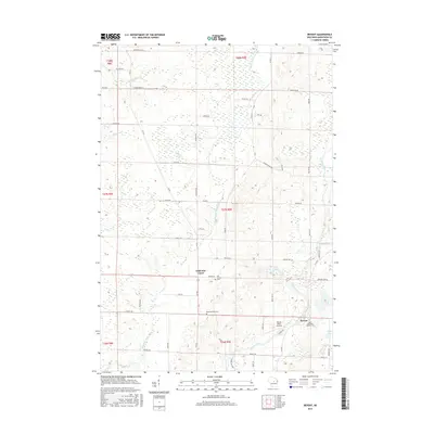
(10)- 2010 Map of Bevent, 2010 Print
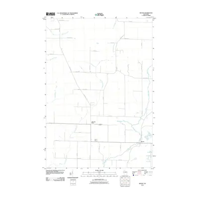 2010 Bevent2010 Print · USGSCovers Reid, including Weston, Kronenwetter, and other nearby areas
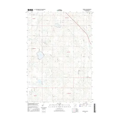
 - 2010 Map of Mission Lake, 2010 Print
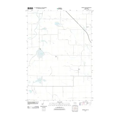 2010 Mission Lake2010 Print · USGSCovers Reid, including Ringle, Norrie, and other nearby areas
 - 2013 Map of Bevent, 2013 Print
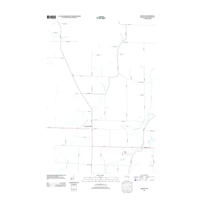 2013 Bevent2013 Print · USGSCovers Reid, including Weston, Kronenwetter, and other nearby areas
 - 2013 Map of Mission Lake, 2013 Print
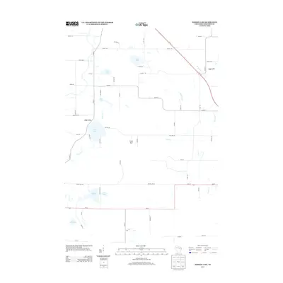 2013 Mission Lake2013 Print · USGSCovers Reid, including Ringle, Norrie, and other nearby areas
 - 2015 Map of Mission Lake, 2015 Print
 2015 Mission Lake2015 Print · USGSCovers Reid, including Ringle, Norrie, and other nearby areas
 - 2015 Map of Bevent, 2015 Print
 2015 Bevent2015 Print · USGSCovers Reid, including Weston, Kronenwetter, and other nearby areas
 - 2018 Map of Bevent, 2018 Print
 2018 Bevent2018 Print · USGSCovers Reid, including Weston, Kronenwetter, and other nearby areas
 - 2018 Map of Mission Lake, 2018 Print
 2018 Mission Lake2018 Print · USGSCovers Reid, including Ringle, Norrie, and other nearby areas
 - 2022 Map of Mission Lake, 2022 Print
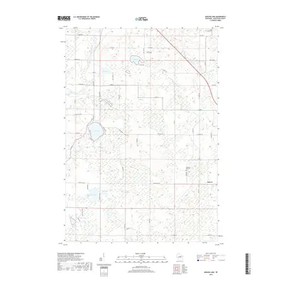
 2022 Mission Lake2022 Print · USGSMarathon County’s lake country is detailed here in the early twenty-first century, centered on the village of Elderon. Researchers can trace local landmarks and family sites near Evergreen Rest Cem, Mission Lake, and the banks of the Plover River.
 - 2022 Map of Bevent, 2022 Print
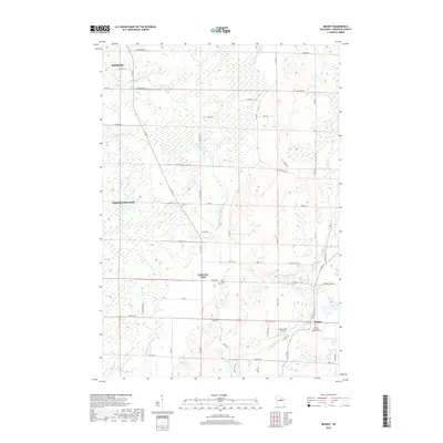
 2022 Bevent2022 Print · USGSMarathon County’s rural character and river networks are documented here in the early twenty-first century. Researchers can locate family roots near Bevent or trace the geography of the Plover River Airfield and Saint Ladislaus Catholic Cem.
End of results
Showing maps 1-10 of 10
Top cities near Reid
- Wausau historical maps
- Weston historical maps
- Kronenwetter historical maps
- Rib Mountain historical maps
- Rothschild historical maps
- Mosinee historical maps
See more
Top neighborhoods of Reid
Frequently asked questions
- What are the different types of historical maps available for Reid?
- What is the oldest map of Reid?
- Where can I purchase historical maps of Reid for my home or office?
- Where can I download high-res historical maps of Reid?
- Are there historical topographic maps available for Reid?
- Is there historical aerial imagery available for Reid?
- Where are historical maps of Reid sourced from?