Old Maps of Weston, Wisconsin for Academic Research
Study the evolution of Weston with 21 high-resolution historic maps. Whether you're teaching, researching, or modeling changes in land use, these maps provide essential visual documentation of urban, environmental, and geographic change.
- Analyze long-term change: Track patterns in development, transportation, and natural features.
- Ideal for environmental or urban studies: Support academic projects with primary historical map data.
- Use in the classroom or lab: Educators and researchers rely on these maps to bring historical context to life.
These maps are a powerful tool for teaching, research, and visualizing how Weston has changed over the decades.
Weston, WI maps
(21)- 1899 Map of Wausau, 1956 Print
 1899 Wausau1956 Print · USGSMarathon County was a bustling timber and rail corridor at the turn of the century, anchored by the river power of Wausau and Merrill. Researchers can trace early logging lines like the Bull Dessert Logging R R and find vanished stops such as Dessert Junction and Nutterville.
 - 1902 Map of Wausau
 1902 Wausau1902 Print · USGSWisconsin’s timber and rail heartland is meticulously documented at the turn of the century as Wausau and Merrill expand along the river. Genealogists can trace early homesteads and rail stops like Schofield, Granite Heights, and the grounds of the State Insane Asylum.2 unique versions available
 - 1953 Map of Wausau, 1955 Print
 1953 Wausau1955 Print · USGSThe Wisconsin River valley comes alive in the early 1950s, showing the paper-mill towns and rugged peaks of Marathon County. Trace the development of Wausau and Mosinee or locate rural landmarks like the Mosinee Lookout Tower and St Agnes Ch.
 - 1953 Map of Hatley, 1955 Print
 1953 Hatley1955 Print · USGSMarathon County's eastern farming and timber lands are captured here in the early fifties as the rural school system began to consolidate. Genealogists can trace family footprints at St Francis Cem or follow the old Chicago and North Western rail line through Hatley.
 - 1955 Map of Green Bay, 1968 Print
 1955 Green Bay1968 Print · USGSCentral and Eastern Wisconsin are captured here in the mid-fifties, showing the industrial growth of the Fox Valley and Wisconsin River corridors. Genealogists and historians can trace rail lines like the Green Bay and Western through settlements like Weyauwega, Clintonville, and Pulaski.2 unique versions available
 - 1963 Map of Wausau East, 1964 Print
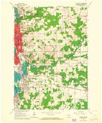 1963 Wausau East1964 Print · USGSMarathon County is captured at a moment of mid-century growth as the urban center of Wausau extends south along the Wisconsin River. Genealogists and local historians can trace family locations near Schofield, the Pine Grove Cemetery, or schools like Everest Sch.2 unique versions available
 - 1963 Map of Wausau, 1965 Print
 1963 Wausau1965 Print · USGSMarathon County’s river valley is caught in a moment of mid-century growth, centered on the bustling Wisconsin River industrial corridor. Genealogists and local historians can trace family locations near landmarks like St Agnes Ch Cem, the Mount View Sanatorium, and the small settlement of Peplin.2 unique versions available
 - 1964 Map of Hatley, 1966 Print
 1964 Hatley1966 Print · USGSMarathon County in the mid-1960s reveals a rural landscape defined by the Chicago and North Western Railroad and glacial lake clusters. Researchers can locate family landmarks like Forestville Cem, Easton Sch, and the Elderon Lookout Tower.
 - 1982 Map of Ringle
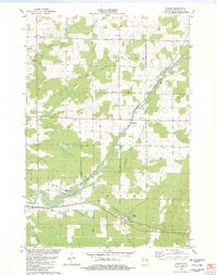 1982 Ringle1982 Print · USGSMarathon County in the early eighties shows a landscape of river-valley industry and quiet crossroads communities. You can trace the Chicago and North Western line through Ringle or locate local landmarks like Easton Sch and the Forestville Cem.
 - 1984 Map of Wausau, 1990 Print
 1984 Wausau1990 Print · USGSMarathon and Portage counties come into focus during the mid-eighties as industrial river towns and sprawling conservation areas define the Central Wisconsin landscape. Researchers can trace the rail corridors of the Soo Line or locate rural landmarks like Rib Mountain State Park and St Marys Cem.
 - 1993 Map of Wausau East
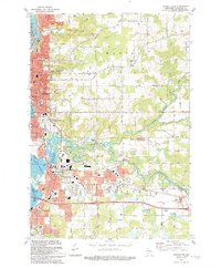 1993 Wausau East1993 Print · USGSMarathon County in the early nineties shows a thriving riverfront economy where the Wisconsin and Eau Claire rivers meet. Genealogists and historians can trace the development of Schofield, Rothschild, and Kelly alongside sites like Hebrew Cem and Everest High Sch.
 - 2010 Map of Ringle, 2010 Print
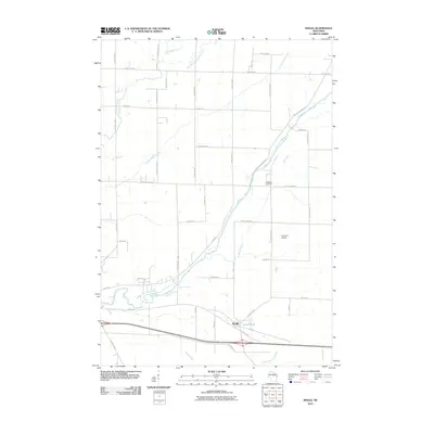 2010 Ringle2010 Print · USGSMarathon County is shown in detail during the early 21st century, centered on the village of Ringle. Genealogists and local historians can trace family landmarks like the Forestville Cemetery or follow the paths of the Eau Claire River and Big Sandy Creek.
 - 2010 Map of Wausau East, 2010 Print
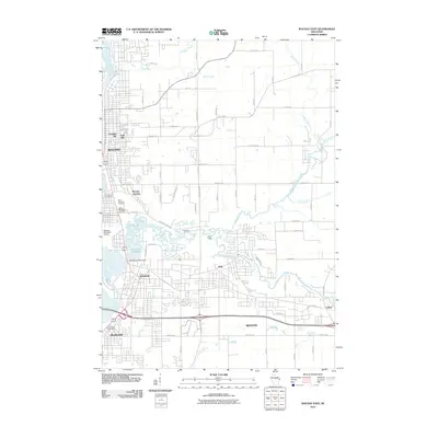 2010 Wausau East2010 Print · USGSMarathon County's urban heart and river valley are captured here just after the first decade of the millennium. Researchers can trace neighborhood growth through Franklin Hill and locate ancestral sites like the Hebrew Cemetery or the Rothschild Post Office.
 - 2013 Map of Ringle, 2013 Print
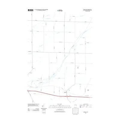 2013 Ringle2013 Print · USGSMarathon County's river valleys and rural crossroads are captured here during the early twenty-first century. Genealogists and local historians can trace family-named roads and landmarks like Ringle, the Flying 'O' Airport, and the winding Eau Claire River.
 - 2013 Map of Wausau East, 2013 Print
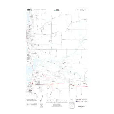 2013 Wausau East2013 Print · USGSMarathon County at the start of the 2010s shows a landscape defined by the convergence of the Wisconsin and Eau Claire Rivers. Genealogists and local historians can trace the growth of Schofield, Kelly, and Rothschild near industrial hubs like Wausau Junction.
 - 2015 Map of Wausau East, 2015 Print
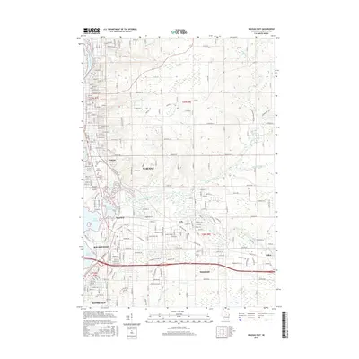 2015 Wausau East2015 Print · USGSMarathon County’s riverfront communities come into focus in the mid-2010s as the Wisconsin River shapes the growth of Wausau and Schofield. Family historians can trace local roots through Saint Michael's Cem or follow the path of the Northwestern Rwy.
 - 2015 Map of Ringle, 2015 Print
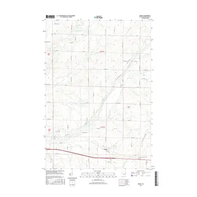 2015 Ringle2015 Print · USGSCovers Weston, including Ringle, Wausau, and other nearby areas
 - 2018 Map of Ringle, 2018 Print
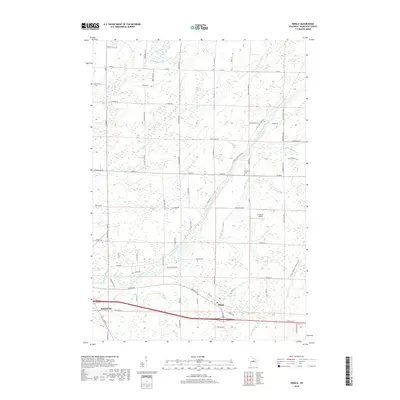 2018 Ringle2018 Print · USGSMarathon County in the late twenty-teens shows a landscape of river valleys and expanding townships. Genealogists and local historians can locate Forestville Cem, the rural Ringle community, and local landmarks like Flying 'O' Airport.
 - 2018 Map of Wausau East, 2018 Print
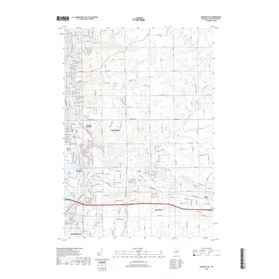 2018 Wausau East2018 Print · USGSMarathon County's riverfront communities are captured here in the modern era as the Wisconsin River flows through the hearts of Wausau and Schofield. Genealogists and local historians can locate established burial sites like Pine Grove Cem and trace the path of the Eau Claire River to the Eau Claire Flowage.
 - 2022 Map of Ringle, 2022 Print
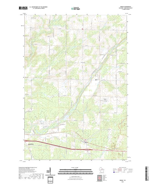 2022 Ringle2022 Print · USGSMarathon County in the early 2020s shows a landscape defined by the Eau Claire River and its network of glacial creeks. Local historians can trace the transition from rural rail corridors to recreational paths like the Mountain-Bay State Trail near Ringle.
 - 2022 Map of Wausau East, 2022 Print
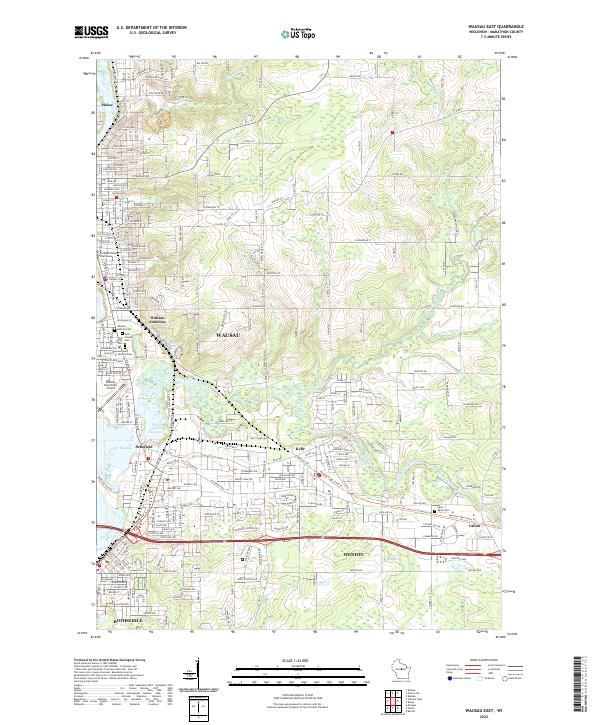 2022 Wausau East2022 Print · USGSThe Wausau urban corridor and the Wisconsin River valley are shown in comprehensive detail during the early 2020s. Researchers can locate the Marathon County Courthouse, trace the Eau Claire River, and find local burial sites like Saint Michael Cem.
End of results
Showing maps 1-21 of 21
Top cities near Weston
- Wausau historical maps
- Weston historical maps
- Kronenwetter historical maps
- Rib Mountain historical maps
- Rothschild historical maps
- Mosinee historical maps
See more
Frequently asked questions
- What are the different types of historical maps available for Weston?
- What is the oldest map of Weston?
- Where can I purchase historical maps of Weston for my home or office?
- Where can I download high-res historical maps of Weston?
- Are there historical topographic maps available for Weston?
- Is there historical aerial imagery available for Weston?
- Where are historical maps of Weston sourced from?