2020s Maps of Ellington, Wisconsin
Explore 4 historic maps of Ellington from the 2020s. These maps offer a rare glimpse into what life looked like during the 2020s — showing old roads, neighborhoods, homes, and landmarks that have changed or disappeared over time.
Whether you're researching your family's past, planning a metal detecting trip, or studying how Ellington's landscape evolved across the 2020s, these high-resolution maps are a powerful tool for exploring the history of this region.
- Focus on a specific era: All maps on this page are from the 2020s, giving you a focused view of this time period.
- See what’s changed: Compare century-old streets, trails, and buildings to today's modern landscape using overlays and satellite layers.
- Research with precision: Use these maps for genealogy, historical research, land use analysis, or educational projects.
- View, download, or print: Maps are fully viewable online in high resolution, and can be downloaded or printed for your own records.
Start exploring Ellington's history through authentic maps from the 2020s. This is your window into the past.
Ellington, WI maps
(4)- 2022 Map of Black Creek, 2022 Print
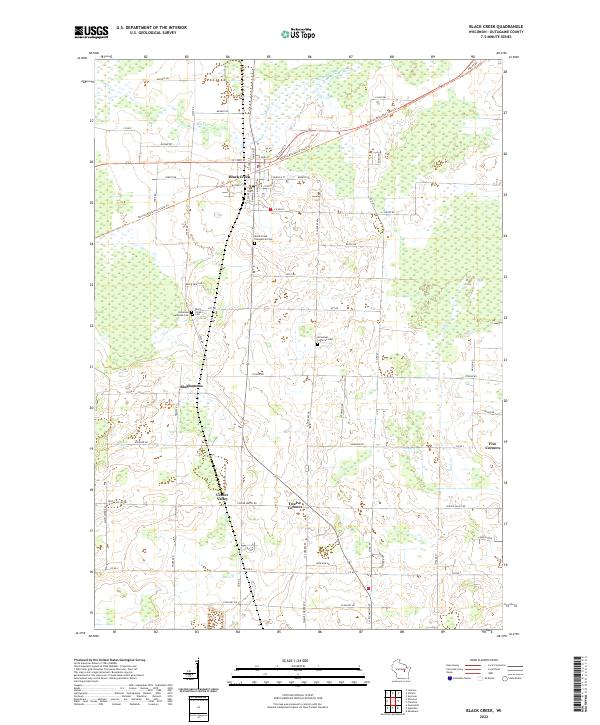 2022 Black Creek2022 Print · USGSThis part of Outagamie County was undergoing modern shifts in the early 2020s, centered around the village of Black Creek. Genealogists and local historians can trace legacy sites like Twelve Corners and the Immanuel Lutheran Cem along the Newton Blackmour State Trl.
 - 2022 Map of Greenville, 2022 Print
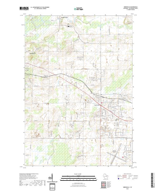 2022 Greenville2022 Print · USGSOutagamie County in the early twenty-first century shows a fascinating mix of traditional dairy land and modern aviation hubs. Genealogists and local historians can trace family locations near Stephensville or locate old burial sites like Ellington Union Cem and Wanderers Rest Cem.
 - 2022 Map of Shiocton, 2022 Print
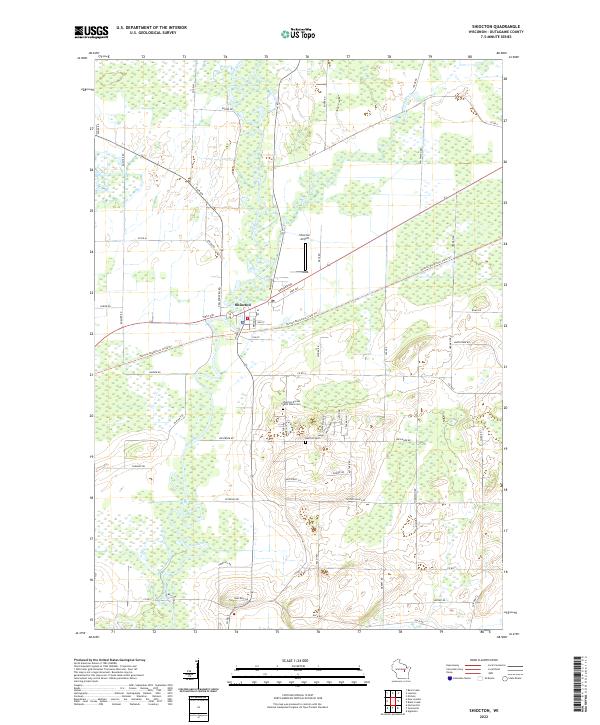 2022 Shiocton2022 Print · USGSWisconsin's Fox Valley region is showcased here in the early 2020s, centered on the riverfront village of Shiocton. Local researchers can trace the course of the Wolf River and locate historic burial grounds like Rexford Cem or follow the Newton Blackmour State Trl through the countryside.
 - 2022 Map of Appleton, 2022 Print
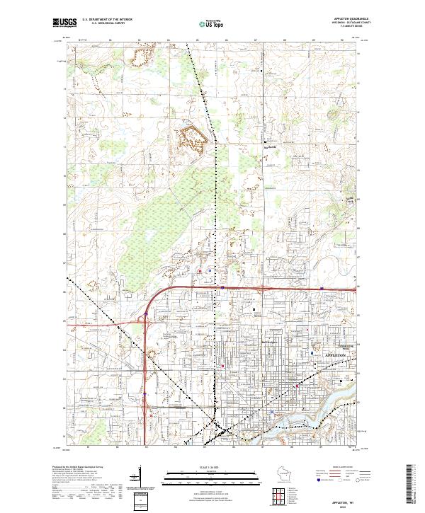 2022 Appleton2022 Print · USGSAppleton and the Fox River valley are shown here in the modern era, balancing urban growth with deep-rooted rural outposts. Local historians can trace institutional sites like Lawrence University alongside legacy locations such as Mackville and Saint Joseph Cem.
End of results
Showing maps 1-4 of 4
Top cities near Ellington
- Appleton historical maps
- Neenah historical maps
- Grand Chute historical maps
- Fox Crossing historical maps
- Menasha historical maps
- Little Chute historical maps
See more
Top neighborhoods of Ellington
Frequently asked questions
- What are the different types of historical maps available for Ellington?
- What is the oldest map of Ellington?
- Where can I purchase historical maps of Ellington for my home or office?
- Where can I download high-res historical maps of Ellington?
- Are there historical topographic maps available for Ellington?
- Is there historical aerial imagery available for Ellington?
- Where are historical maps of Ellington sourced from?