Old Maps of Timber Crest Estates, Grand Chute for Academic Research
Study the evolution of Timber Crest Estates with 10 high-resolution historic maps. Whether you're teaching, researching, or modeling changes in land use, these maps provide essential visual documentation of urban, environmental, and geographic change.
- Analyze long-term change: Track patterns in development, transportation, and natural features.
- Ideal for environmental or urban studies: Support academic projects with primary historical map data.
- Use in the classroom or lab: Educators and researchers rely on these maps to bring historical context to life.
These maps are a powerful tool for teaching, research, and visualizing how Timber Crest Estates has changed over the decades.
Timber Crest Estates, Grand Chute maps
(10)- 1955 Map of Appleton, 1957 Print
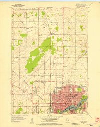 1955 Appleton1957 Print · USGSMid-century Appleton thrives as a river-based industrial and academic center during the mid-1950s. Genealogists and historians can trace the footprint of Lawrence College, numerous parochial schools like St Teresa Sch, and outlying hamlets such as Mackville.3 unique versions available
 - 1955 Map of Appleton, 1957 Print
 1955 Appleton1957 Print · USGSOutagamie County's river-driven industrial valley and sprawling northern farmsteads are captured here in the mid-1950s. Genealogists and historians can trace the foundations of Appleton and Kaukauna or locate rural landmarks like Mackville Station and the Herman Sch (Abandoned).2 unique versions available
 - 1955 Map of Green Bay, 1968 Print
 1955 Green Bay1968 Print · USGSCentral and Eastern Wisconsin are captured here in the mid-fifties, showing the industrial growth of the Fox Valley and Wisconsin River corridors. Genealogists and historians can trace rail lines like the Green Bay and Western through settlements like Weyauwega, Clintonville, and Pulaski.2 unique versions available
 - 1984 Map of Appleton, 1985 Print
 1984 Appleton1985 Print · USGSThe Fox River Valley in the mid-eighties shows a bustling corridor of industry and nature, from the shores of Lake Winnebago to the Oneida Indian Reservation. Trace local heritage through landmarks like Riverside Cem or explore the wetlands of Poygan Marsh State Wildlife Area.2 unique versions available
 - 1992 Map of Appleton, 1996 Print
 1992 Appleton1996 Print · USGSThe Fox River valley saw significant suburban and commercial expansion in the 1990s as the urban core pushed north. Genealogists and researchers can trace local landmarks like Lawrence College, Riverside Cem, and the rural crossroads of Mackville.
 - 2010 Map of Appleton, 2010 Print
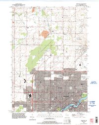
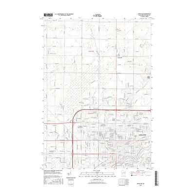
 2010 Appleton2010 Print · USGSCovers Timber Crest Estates, including Appleton, Grand Chute, and other nearby areas
 - 2013 Map of Appleton, 2013 Print
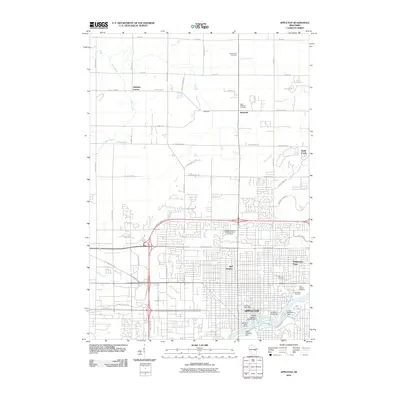
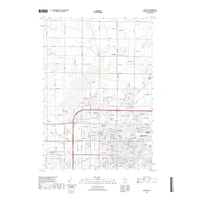
 2013 Appleton2013 Print · USGSCovers Timber Crest Estates, including Appleton, Grand Chute, and other nearby areas
 - 2016 Map of Appleton, 2016 Print
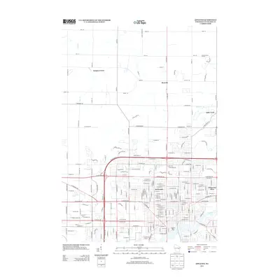
 2016 Appleton2016 Print · USGSCovers Timber Crest Estates, including Appleton, Grand Chute, and other nearby areas
 - 2018 Map of Appleton, 2018 Print
 2018 Appleton2018 Print · USGSCovers Timber Crest Estates, including Appleton, Grand Chute, and other nearby areas
 - 2022 Map of Appleton, 2022 Print
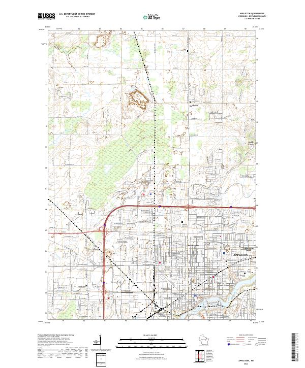 2022 Appleton2022 Print · USGSAppleton and the Fox River valley are shown here in the modern era, balancing urban growth with deep-rooted rural outposts. Local historians can trace institutional sites like Lawrence University alongside legacy locations such as Mackville and Saint Joseph Cem.
End of results
Showing maps 1-10 of 10
Frequently asked questions
- What are the different types of historical maps available for Timber Crest Estates?
- What is the oldest map of Timber Crest Estates?
- Where can I purchase historical maps of Timber Crest Estates for my home or office?
- Where can I download high-res historical maps of Timber Crest Estates?
- Are there historical topographic maps available for Timber Crest Estates?
- Is there historical aerial imagery available for Timber Crest Estates?
- Where are historical maps of Timber Crest Estates sourced from?