
1955 Map of Appleton
USGS Topo · Published 1957About this map
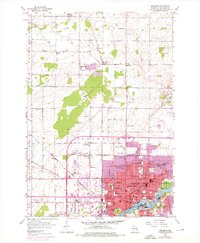
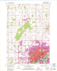
Industrial and educational growth define the character of Appleton during the mid-1950s, centered along the banks of the Fox River. The river's path is lined with evidence of the city's civic and cultural heart, from Lawrence College and City Hall to numerous neighborhood parks like Telulah Park and Lutz Park. The urban grid is dense with namesake institutions, including Wilson Jr High Sch and St Marys Sch, reflecting a post-war era of significant community expansion. Beyond the city center, the landscape transitions into the agricultural stretches of Grand Chute and Center, where rural life is anchored by country schools such as Twin Willows Sch and the crossroads at Hamples Corner. The importance of transportation and energy is visible in the network of the Chicago and North Western railway and the cluster of Oil Tanks and Gas Tanks near the river, signaling the city's role as a regional economic hub.
Find a feature on this map
62 named features on this map. Tap any name to fly to it.
Don’t see what you’re looking for? This feature index may not catch every label — zoom into the map to look around manually.
Map Details
Editions of this 1955 Appleton Map
3 editions found
Other maps of this area

1911 · Neenah
USGS Topo · 1:62,500

1955 · Neenah
USGS Topo · 1:62,500

1955 · Appleton
USGS Topo · 1:62,500

1955 · Neenah
USGS Topo · 1:24,000

1955 · Green Bay
USGS Topo · 1:250,000

1956 · New London
USGS Topo · 1:48,000

1961 · Oshkosh
USGS Topo · 1:62,500

1961 · Oshkosh NE
USGS Topo · 1:24,000
1969 · Greenville
USGS Topo · 1:24,000
1969 · Shiocton
USGS Topo · 1:24,000